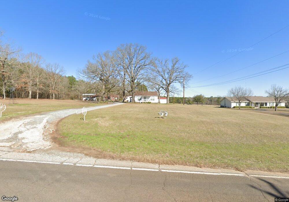
10754 Upper State Line Rd Vivian, LA 71082
Estimated Value: $94,426 - $739,000
3
Beds
2
Baths
1,248
Sq Ft
$226/Sq Ft
Est. Value
About This Home
This home is located at 10754 Upper State Line Rd, Vivian, LA 71082 and is currently estimated at $282,357, approximately $226 per square foot. 10754 Upper State Line Rd is a home located in Caddo Parish with nearby schools including South Highlands Elementary, Judson Fundamental Elementary School, and Fairfield Magnet School.
Ownership History
Date
Name
Owned For
Owner Type
Purchase Details
Closed on
Aug 30, 2007
Sold by
Stewart J L and Bounds Betty Stewart
Bought by
Warner John Marcus and Warner Carolyn Faye
Current Estimated Value
Home Financials for this Owner
Home Financials are based on the most recent Mortgage that was taken out on this home.
Original Mortgage
$72,184
Outstanding Balance
$46,052
Interest Rate
6.72%
Mortgage Type
Future Advance Clause Open End Mortgage
Estimated Equity
$236,305
Create a Home Valuation Report for This Property
The Home Valuation Report is an in-depth analysis detailing your home's value as well as a comparison with similar homes in the area
Home Values in the Area
Average Home Value in this Area
Purchase History
| Date | Buyer | Sale Price | Title Company |
|---|---|---|---|
| Warner John Marcus | -- | None Available |
Source: Public Records
Mortgage History
| Date | Status | Borrower | Loan Amount |
|---|---|---|---|
| Open | Warner John Marcus | $72,184 |
Source: Public Records
Tax History Compared to Growth
Tax History
| Year | Tax Paid | Tax Assessment Tax Assessment Total Assessment is a certain percentage of the fair market value that is determined by local assessors to be the total taxable value of land and additions on the property. | Land | Improvement |
|---|---|---|---|---|
| 2024 | $1,131 | $6,945 | $507 | $6,438 |
| 2023 | $1,148 | $6,925 | $487 | $6,438 |
| 2022 | $1,148 | $6,925 | $487 | $6,438 |
| 2021 | $1,149 | $6,925 | $487 | $6,438 |
| 2020 | $1,144 | $6,925 | $487 | $6,438 |
| 2019 | $605 | $3,467 | $486 | $2,981 |
| 2018 | $75 | $3,467 | $486 | $2,981 |
| 2017 | $536 | $3,025 | $486 | $2,539 |
| 2015 | $75 | $3,684 | $484 | $3,200 |
| 2014 | $75 | $3,950 | $480 | $3,470 |
| 2013 | -- | $3,950 | $480 | $3,470 |
Source: Public Records
Map
Nearby Homes
- Lot 14 Peaceful Pines Ln
- Lot 4 Peaceful Pines Ln
- Lot 2 Peaceful Pines Ln
- Lot 6 Peaceful Pines Ln
- Lot 5 Peaceful Pines Ln
- Lot 12 Peaceful Pines Ln
- 9794 Upper State Line Rd
- 122 S Bird St
- 310 W Tennessee Ave
- 425 N Cypress St
- 210 W Mississippi Ave
- 10651 Murry Ln
- 1220 N Carson St
- 109 N Huckaby St
- 325 E Oklahoma Ave
- 62011 Rebel Heights Rd
- 2040 Ma County Road 3509
- 9420 Hosston Rd
- 2040 McR 3509
- 9008 Hosston Vivian Rd
- 10734 Upper State Line Rd
- 10721 Upper State Line Rd
- 10714 Upper State Line Rd
- 10684 Upper State Line Rd
- 10662 Upper State Line Rd
- 10600 Upper State Line Rd
- 10682 Upper State Line Rd
- 10807 Upper State Line Rd
- 10867 Upper State Line Rd
- 10630 Upper State Line Rd
- 10881 Upper State Line Rd
- 10604 Upper State Line Rd
- 10895 Upper State Line Rd
- 10548 Upper State Line Rd
- 10955 Upper State Line Rd
- 14585 Browning Rd
- 14605 Upper State Line Rd
- 10555 Upper State Line Rd
- 11029 Upper State Line Rd
- 11030 Upper State Line Rd