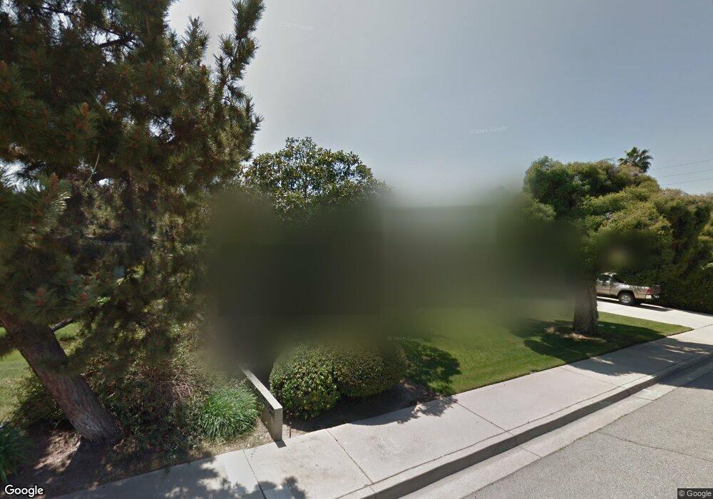
1076 Harding Ct Claremont, CA 91711
Condit NeighborhoodEstimated Value: $1,066,000 - $1,150,000
3
Beds
3
Baths
2,050
Sq Ft
$537/Sq Ft
Est. Value
About This Home
This home is located at 1076 Harding Ct, Claremont, CA 91711 and is currently estimated at $1,101,640, approximately $537 per square foot. 1076 Harding Ct is a home located in Los Angeles County with nearby schools including Condit Elementary School, El Roble Intermediate School, and Claremont High School.
Ownership History
Date
Name
Owned For
Owner Type
Purchase Details
Closed on
Feb 27, 2007
Sold by
Mclaughlin Virginia L
Bought by
Graves Peter S and Graves Cathy E
Current Estimated Value
Home Financials for this Owner
Home Financials are based on the most recent Mortgage that was taken out on this home.
Original Mortgage
$417,000
Outstanding Balance
$251,713
Interest Rate
6.21%
Mortgage Type
Purchase Money Mortgage
Estimated Equity
$849,927
Purchase Details
Closed on
Apr 5, 1997
Sold by
Mclaughlin John L
Bought by
Mclaughlin John L and Mclaughlin Virginia L
Create a Home Valuation Report for This Property
The Home Valuation Report is an in-depth analysis detailing your home's value as well as a comparison with similar homes in the area
Home Values in the Area
Average Home Value in this Area
Purchase History
| Date | Buyer | Sale Price | Title Company |
|---|---|---|---|
| Graves Peter S | $620,000 | North American Title | |
| Mclaughlin John L | -- | -- |
Source: Public Records
Mortgage History
| Date | Status | Borrower | Loan Amount |
|---|---|---|---|
| Open | Graves Peter S | $417,000 |
Source: Public Records
Tax History
| Year | Tax Paid | Tax Assessment Tax Assessment Total Assessment is a certain percentage of the fair market value that is determined by local assessors to be the total taxable value of land and additions on the property. | Land | Improvement |
|---|---|---|---|---|
| 2025 | $10,047 | $830,651 | $632,103 | $198,548 |
| 2024 | $10,047 | $814,364 | $619,709 | $194,655 |
| 2023 | $9,835 | $798,397 | $607,558 | $190,839 |
| 2022 | $9,677 | $782,744 | $595,646 | $187,098 |
| 2021 | $9,529 | $767,397 | $583,967 | $183,430 |
| 2019 | $9,088 | $744,639 | $566,648 | $177,991 |
| 2018 | $8,849 | $730,039 | $555,538 | $174,501 |
| 2016 | $7,192 | $605,000 | $460,000 | $145,000 |
| 2015 | $7,188 | $605,000 | $460,000 | $145,000 |
| 2014 | $6,478 | $534,000 | $406,000 | $128,000 |
Source: Public Records
Map
Nearby Homes
- 1526 Lynoak Dr
- 3657 Towne Park Cir
- 1521 Mural Dr
- 834 Hood Dr
- 1283 Hillsdale Dr
- 1736 Sumner Ave
- 641 Ridgefield Dr
- 631 Gayville Dr
- 872 Knox Place
- 1032 W Foothill Blvd Unit C
- 171 Evergreen Ln
- 1458 N Mountain Ave
- 1050 Foothill Blvd
- 1044 W Foothill Blvd
- 1038 W Foothill Blvd
- 1493 Lafayette Rd
- 1050 W Foothill Blvd
- 872 Huron Dr
- 728 Richbrook Dr
- 301 E Foothill Blvd Unit 80
- 1062 Harding Ct
- 1090 Harding Ct
- 1073 Syracuse Dr
- 1085 Syracuse Dr
- 1061 Syracuse Dr
- 1095 Harding Ct
- 1048 Harding Ct
- 1097 Syracuse Dr
- 1053 Harding Ct
- 1067 Harding Ct
- 1049 Syracuse Dr
- 1039 Harding Ct
- 1081 Harding Ct
- 1034 Harding Ct
- 1074 Syracuse Dr
- 1086 Syracuse Dr
- 1641 Barnard Rd
- 1037 Syracuse Dr
- 1578 Whittier Ave
- 1641 N Towne Ave Unit B
Your Personal Tour Guide
Ask me questions while you tour the home.