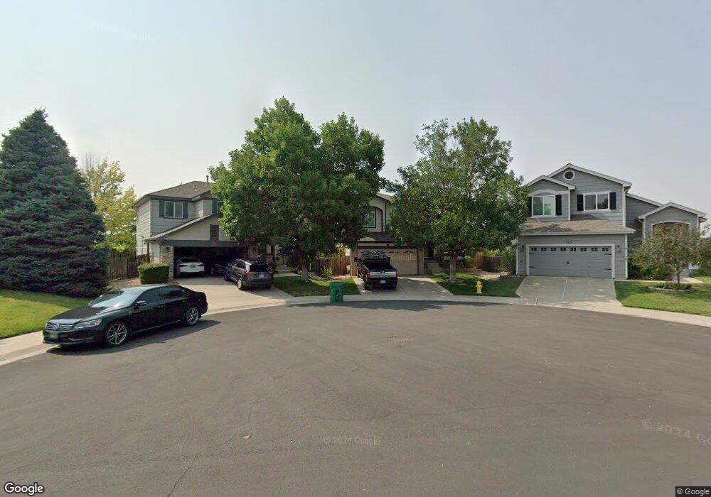
10765 Appaloosa Ct Parker, CO 80134
Bradbury Ranch NeighborhoodEstimated Value: $560,000 - $584,000
3
Beds
3
Baths
1,444
Sq Ft
$397/Sq Ft
Est. Value
About This Home
This home is located at 10765 Appaloosa Ct, Parker, CO 80134 and is currently estimated at $573,571, approximately $397 per square foot. 10765 Appaloosa Ct is a home located in Douglas County with nearby schools including Prairie Crossing Elementary School, Sierra Middle School, and Chaparral High School.
Ownership History
Date
Name
Owned For
Owner Type
Purchase Details
Closed on
Sep 5, 1997
Sold by
D R Horton Inc
Bought by
Martinez Ronald C and Martinez Patricia R
Current Estimated Value
Home Financials for this Owner
Home Financials are based on the most recent Mortgage that was taken out on this home.
Original Mortgage
$137,900
Outstanding Balance
$21,127
Interest Rate
7.34%
Estimated Equity
$552,444
Purchase Details
Closed on
Jan 24, 1997
Sold by
Amrepco Inc
Bought by
D- R Horton Inc
Create a Home Valuation Report for This Property
The Home Valuation Report is an in-depth analysis detailing your home's value as well as a comparison with similar homes in the area
Home Values in the Area
Average Home Value in this Area
Purchase History
| Date | Buyer | Sale Price | Title Company |
|---|---|---|---|
| Martinez Ronald C | $153,260 | -- | |
| D- R Horton Inc | $250,000 | -- |
Source: Public Records
Mortgage History
| Date | Status | Borrower | Loan Amount |
|---|---|---|---|
| Open | Martinez Ronald C | $137,900 |
Source: Public Records
Tax History Compared to Growth
Tax History
| Year | Tax Paid | Tax Assessment Tax Assessment Total Assessment is a certain percentage of the fair market value that is determined by local assessors to be the total taxable value of land and additions on the property. | Land | Improvement |
|---|---|---|---|---|
| 2024 | $3,196 | $40,280 | $10,930 | $29,350 |
| 2023 | $3,235 | $40,280 | $10,930 | $29,350 |
| 2022 | $2,358 | $27,270 | $7,270 | $20,000 |
| 2021 | $2,454 | $27,270 | $7,270 | $20,000 |
| 2020 | $2,394 | $27,040 | $8,640 | $18,400 |
| 2019 | $2,409 | $27,040 | $8,640 | $18,400 |
| 2018 | $2,086 | $22,830 | $7,830 | $15,000 |
| 2017 | $1,936 | $22,830 | $7,830 | $15,000 |
| 2016 | $1,755 | $20,310 | $5,770 | $14,540 |
| 2015 | $893 | $20,310 | $5,770 | $14,540 |
| 2014 | $791 | $16,030 | $5,770 | $10,260 |
Source: Public Records
Map
Nearby Homes
- 16116 Martingale Dr
- 10818 Mcclellan Rd
- 10828 Snowdon St
- 10834 Snowdon St
- 10832 Tundra Top Dr
- 10849 Tundra Top Dr
- 10896 Snowdon St
- 10873 Tundra Top Dr
- 16135 Peregrine Dr
- 10553 Stonemeadow Dr
- 16641 Martingale Dr
- 15733 Mccauley Dr
- 15902 Stringhalt Way
- 10676 Cottoneaster Way
- 11029 Grouse Ct
- 10730 Tomboy Dr
- Pinnacle Plan at Newlin Crossing - The Pioneer Collection
- Graham Plan at Newlin Crossing - The Monarch Collection
- Ashbrook Plan at Newlin Crossing - The Monarch Collection
- Evans Plan at Newlin Crossing - The Pioneer Collection
- 10763 Appaloosa Ct
- 10769 Appaloosa Ct
- 10759 Appaloosa Ct
- 16122 Crestrock Ct
- 16138 Crestrock Ct
- 16106 Crestrock Ct
- 10775 Appaloosa Ct
- 10755 Appaloosa Ct
- 16052 Crestrock Cir
- 10764 Appaloosa Ct
- 16154 Crestrock Ct
- 16042 Crestrock Cir
- 10779 Appaloosa Ct
- 10749 Appaloosa Ct
- 10754 Appaloosa Ct
- 10774 Appaloosa Ct
- 16170 Crestrock Ct
- 16032 Crestrock Cir
- 10748 Appaloosa Ct
- 10785 Appaloosa Ct