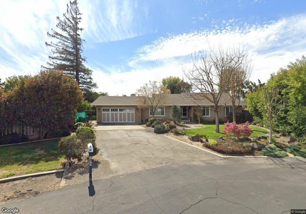
1077 Suess Ct Manteca, CA 95337
Estimated Value: $502,000 - $667,000
3
Beds
2
Baths
2,183
Sq Ft
$284/Sq Ft
Est. Value
About This Home
This home is located at 1077 Suess Ct, Manteca, CA 95337 and is currently estimated at $620,806, approximately $284 per square foot. 1077 Suess Ct is a home located in San Joaquin County with nearby schools including Brock Elliott Elementary School and Sierra High School.
Ownership History
Date
Name
Owned For
Owner Type
Purchase Details
Closed on
Nov 30, 2004
Sold by
Bakmas John R and Bakmas Marlana A
Bought by
Bakmas John R and Bakmas Marlana A
Current Estimated Value
Home Financials for this Owner
Home Financials are based on the most recent Mortgage that was taken out on this home.
Original Mortgage
$148,100
Interest Rate
5.74%
Mortgage Type
New Conventional
Purchase Details
Closed on
Dec 16, 2003
Sold by
Bakmas John and Bakmas Marlana
Bought by
Bakmas John R and Bakmas Marlana A
Create a Home Valuation Report for This Property
The Home Valuation Report is an in-depth analysis detailing your home's value as well as a comparison with similar homes in the area
Purchase History
| Date | Buyer | Sale Price | Title Company |
|---|---|---|---|
| Bakmas John R | -- | First Amer Title Co | |
| Bakmas John R | -- | First Amer Title Co | |
| Bakmas John R | -- | -- |
Source: Public Records
Mortgage History
| Date | Status | Borrower | Loan Amount |
|---|---|---|---|
| Closed | Bakmas John R | $148,100 |
Source: Public Records
Tax History
| Year | Tax Paid | Tax Assessment Tax Assessment Total Assessment is a certain percentage of the fair market value that is determined by local assessors to be the total taxable value of land and additions on the property. | Land | Improvement |
|---|---|---|---|---|
| 2025 | $3,231 | $295,905 | $97,593 | $198,312 |
| 2024 | $3,139 | $290,104 | $95,680 | $194,424 |
| 2023 | $3,100 | $284,416 | $93,804 | $190,612 |
| 2022 | $3,052 | $278,840 | $91,965 | $186,875 |
| 2021 | $3,017 | $273,373 | $90,162 | $183,211 |
| 2020 | $2,895 | $270,571 | $89,238 | $181,333 |
| 2019 | $2,856 | $265,267 | $87,489 | $177,778 |
| 2018 | $2,817 | $260,067 | $85,774 | $174,293 |
| 2017 | $2,774 | $254,969 | $84,093 | $170,876 |
| 2016 | $2,706 | $249,970 | $82,444 | $167,526 |
| 2014 | $2,512 | $241,395 | $79,616 | $161,779 |
Source: Public Records
Map
Nearby Homes
- 896 Cinnamon Teal Ct
- 938 Snowgoose Ln
- 1015 Tenaya Ct
- 578 Schooner Place
- 1432 Driftwood Way
- 1164 Marion St
- 865 Locust Ave
- 1176 Junction Dr
- 776 Folsom Way
- 778 Mission Ridge Dr
- 1432 Meridian St
- 1444 Meridian St
- 1025 Barbados St
- 1821 Avo Way
- 1142 Mammoth Dr
- 707 Chenin Blanc Dr
- 1676 Red Ribbons Ln
- 1602 Oleander Ave
- 628 Mission Ridge Dr
- 1555 Sand Ln
- 1069 Suess Ct
- 1081 Suess Ct
- 1297 Corwin Dr
- 1283 Corwin Dr
- 1093 Suess Ct
- 1062 Suess Ct
- 1066 Suess Ct
- 1070 Suess Ct
- 1078 Suess Ct
- 1298 Corwin Dr
- 1282 Corwin Dr
- 1086 Suess Ct
- 1266 Corwin Dr
- 1235 Corwin Dr
- 1058 Hatchcover Place
- 1065 Hatchcover Place
- 1248 Corwin Dr
- 1293 Daniels St
- 1078 Compass Ln
- 1075 S Union Rd
Your Personal Tour Guide
Ask me questions while you tour the home.