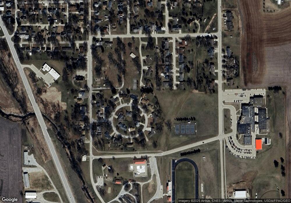
108 Circle Dr Audubon, IA 50025
Estimated Value: $200,000 - $277,000
Studio
--
Bath
1,828
Sq Ft
$124/Sq Ft
Est. Value
About This Home
This home is located at 108 Circle Dr, Audubon, IA 50025 and is currently estimated at $226,549, approximately $123 per square foot. 108 Circle Dr is a home located in Audubon County with nearby schools including Audubon Elementary School and Audubon Middle/High School.
Ownership History
Date
Name
Owned For
Owner Type
Purchase Details
Closed on
Aug 31, 2007
Sold by
Jensen Rodney L
Bought by
Jensen Rodney L and Friedrichsen Kelli
Current Estimated Value
Home Financials for this Owner
Home Financials are based on the most recent Mortgage that was taken out on this home.
Original Mortgage
$81,500
Interest Rate
6.72%
Mortgage Type
New Conventional
Purchase Details
Closed on
Aug 11, 2007
Sold by
Whatley Johnny E and Whatley Glenda C
Bought by
Jensen Rodney L
Home Financials for this Owner
Home Financials are based on the most recent Mortgage that was taken out on this home.
Original Mortgage
$81,500
Interest Rate
6.72%
Mortgage Type
New Conventional
Create a Home Valuation Report for This Property
The Home Valuation Report is an in-depth analysis detailing your home's value as well as a comparison with similar homes in the area
Purchase History
| Date | Buyer | Sale Price | Title Company |
|---|---|---|---|
| Jensen Rodney L | -- | -- | |
| Jensen Rodney L | $81,500 | -- |
Source: Public Records
Mortgage History
| Date | Status | Borrower | Loan Amount |
|---|---|---|---|
| Previous Owner | Jensen Rodney L | $81,500 |
Source: Public Records
Tax History
| Year | Tax Paid | Tax Assessment Tax Assessment Total Assessment is a certain percentage of the fair market value that is determined by local assessors to be the total taxable value of land and additions on the property. | Land | Improvement |
|---|---|---|---|---|
| 2025 | $3,432 | $196,370 | $15,500 | $180,870 |
| 2024 | $3,432 | $195,950 | $15,500 | $180,450 |
| 2023 | $3,170 | $195,950 | $15,500 | $180,450 |
| 2022 | $2,956 | $144,310 | $15,500 | $128,810 |
| 2021 | $2,956 | $144,310 | $15,500 | $128,810 |
| 2020 | $3,024 | $137,610 | $13,570 | $124,040 |
| 2019 | $3,016 | $126,970 | $0 | $0 |
| 2018 | $2,898 | $126,970 | $0 | $0 |
| 2017 | $2,110 | $89,870 | $0 | $0 |
| 2016 | $1,952 | $89,870 | $0 | $0 |
| 2015 | $1,952 | $89,870 | $0 | $0 |
| 2014 | $1,778 | $89,870 | $0 | $0 |
Source: Public Records
Map
Nearby Homes
- 110 Circle Dr
- 808 Parkcrest Ln
- 120 Circle Dr
- 811 Brookside Dr
- 119 Circle Dr
- 106 Circle Dr
- 111 Circle Dr
- 806 Parkcrest Ln
- 121 Circle Dr
- 809 Brookside Dr
- 122 Circle Dr
- 807 Brookside Dr
- 124 Circle Dr
- 105 Circle Dr
- 112 Circle Dr
- 123 Circle Dr
- 804 Parkcrest Ln
- 810 Brookside Dr
- 805 Brookside Dr
- 812 Brookside Dr
Your Personal Tour Guide
Ask me questions while you tour the home.