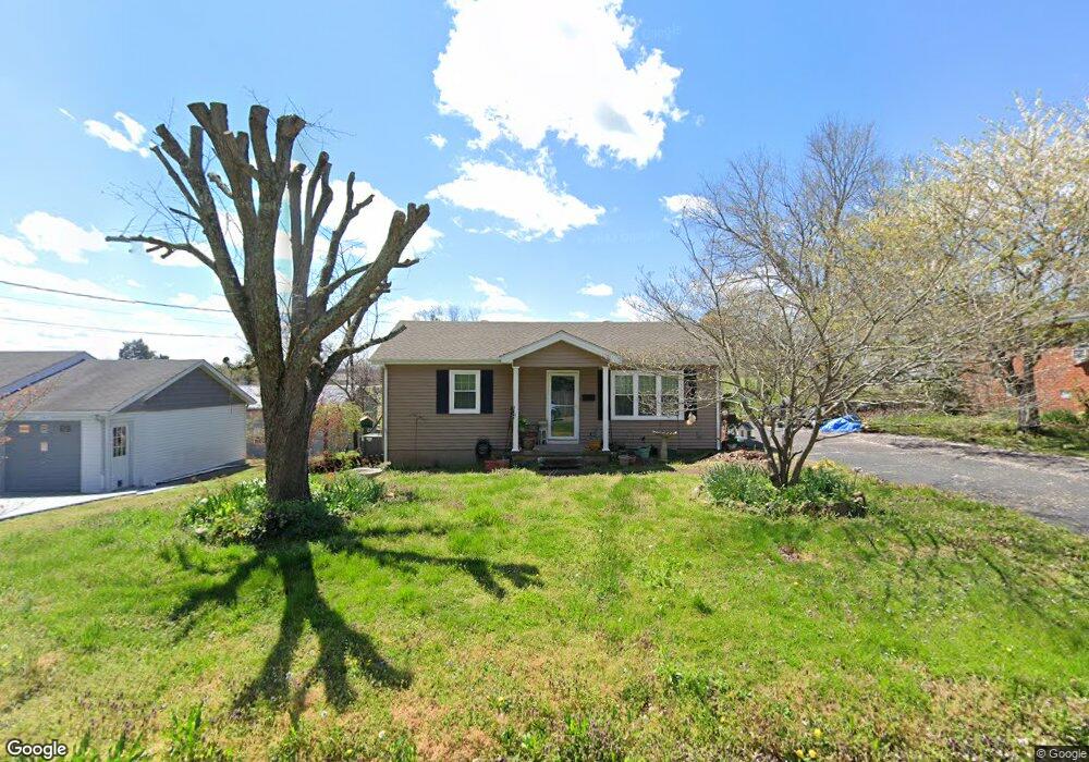
108 E Ray St Dickson, TN 37055
Estimated Value: $188,000 - $268,000
Studio
2
Baths
960
Sq Ft
$246/Sq Ft
Est. Value
About This Home
This home is located at 108 E Ray St, Dickson, TN 37055 and is currently estimated at $236,190, approximately $246 per square foot. 108 E Ray St is a home located in Dickson County with nearby schools including Centennial Elementary School, Dickson Middle School, and Dickson County High School.
Ownership History
Date
Name
Owned For
Owner Type
Purchase Details
Closed on
Nov 10, 2005
Sold by
Payne Andrew A
Bought by
Cummings Ellon R
Current Estimated Value
Purchase Details
Closed on
Jun 7, 2002
Sold by
Baker Ronnie D
Bought by
Payne Andrew A
Home Financials for this Owner
Home Financials are based on the most recent Mortgage that was taken out on this home.
Original Mortgage
$80,800
Interest Rate
6.77%
Purchase Details
Closed on
Apr 29, 1997
Sold by
Francis Robin E
Bought by
Baker Ronnie and Baker Lori
Home Financials for this Owner
Home Financials are based on the most recent Mortgage that was taken out on this home.
Original Mortgage
$66,465
Interest Rate
7.98%
Purchase Details
Closed on
Sep 15, 1989
Bought by
Francis Robin E
Purchase Details
Closed on
Apr 4, 1989
Bought by
First Federal Saving & Loan Association
Purchase Details
Closed on
Oct 13, 1980
Bought by
Holley L Daniel
Create a Home Valuation Report for This Property
The Home Valuation Report is an in-depth analysis detailing your home's value as well as a comparison with similar homes in the area
Home Values in the Area
Average Home Value in this Area
Purchase History
| Date | Buyer | Sale Price | Title Company |
|---|---|---|---|
| Cummings Ellon R | $82,000 | -- | |
| Payne Andrew A | $78,800 | -- | |
| Baker Ronnie | $66,500 | -- | |
| Francis Robin E | $35,000 | -- | |
| First Federal Saving & Loan Association | -- | -- | |
| Holley L Daniel | -- | -- |
Source: Public Records
Mortgage History
| Date | Status | Borrower | Loan Amount |
|---|---|---|---|
| Previous Owner | Holley L Daniel | $80,800 | |
| Previous Owner | Holley L Daniel | $66,465 |
Source: Public Records
Tax History
| Year | Tax Paid | Tax Assessment Tax Assessment Total Assessment is a certain percentage of the fair market value that is determined by local assessors to be the total taxable value of land and additions on the property. | Land | Improvement |
|---|---|---|---|---|
| 2025 | -- | $37,875 | $13,075 | $24,800 |
| 2024 | -- | $37,875 | $13,075 | $24,800 |
| 2023 | $889 | $28,450 | $7,775 | $20,675 |
| 2022 | $889 | $28,450 | $7,775 | $20,675 |
| 2021 | $889 | $28,450 | $7,775 | $20,675 |
| 2020 | $889 | $28,450 | $7,775 | $20,675 |
| 2019 | $889 | $28,450 | $7,775 | $20,675 |
| 2018 | $754 | $20,675 | $4,550 | $16,125 |
| 2017 | $754 | $20,675 | $4,550 | $16,125 |
| 2016 | $754 | $20,675 | $4,550 | $16,125 |
| 2015 | $719 | $18,525 | $4,550 | $13,975 |
| 2014 | $719 | $18,525 | $4,550 | $13,975 |
Source: Public Records
Map
Nearby Homes
- 110 Mccreary Heights
- 0 Truform Way Unit RTC3139035
- 500 Church St
- 100 Oak Dr
- 414 W College St
- 202 W College St Unit 4
- 402 W Railroad St
- 0 Henslee Dr Spring St Unit RTC3128657
- 103 Freeman Ave
- 701 W 5th St
- 0 Country Club Dr Unit 26
- 103 Batey Cir
- 402 S Mulberry St
- 129 Ironhorse Way
- 1035 Northside Dr
- 909 W 1st St
- 0 Highway 46 Unit RTC2944647
- 0 Hardin Ave
- 210 Hardin Ave
- 101 Hill Rd
Your Personal Tour Guide
Ask me questions while you tour the home.