108 Grandpa Harry's Ln Carroll, NH 03598
Estimated Value: $736,000 - $1,067,000
6
Beds
6
Baths
4,992
Sq Ft
$184/Sq Ft
Est. Value
About This Home
This home is located at 108 Grandpa Harry's Ln, Carroll, NH 03598 and is currently estimated at $916,850, approximately $183 per square foot. 108 Grandpa Harry's Ln is a home located in Coos County with nearby schools including Whitefield Elementary School and White Mountains Regional High School.
Ownership History
Date
Name
Owned For
Owner Type
Purchase Details
Closed on
Oct 2, 2018
Sold by
Hibbard Terry and Hibbard Nancy
Bought by
Fohr Thomas D and Fohr Dorene A
Current Estimated Value
Home Financials for this Owner
Home Financials are based on the most recent Mortgage that was taken out on this home.
Original Mortgage
$150,000
Outstanding Balance
$123,378
Interest Rate
2.13%
Mortgage Type
New Conventional
Estimated Equity
$793,472
Purchase Details
Closed on
Mar 5, 2007
Sold by
Grampa Harys Lane Llc
Bought by
Hibbard Terry
Create a Home Valuation Report for This Property
The Home Valuation Report is an in-depth analysis detailing your home's value as well as a comparison with similar homes in the area
Home Values in the Area
Average Home Value in this Area
Purchase History
| Date | Buyer | Sale Price | Title Company |
|---|---|---|---|
| Fohr Thomas D | $510,000 | -- | |
| Hibbard Terry | $75,000 | -- |
Source: Public Records
Mortgage History
| Date | Status | Borrower | Loan Amount |
|---|---|---|---|
| Open | Fohr Thomas D | $150,000 | |
| Previous Owner | Hibbard Terry | $375,000 |
Source: Public Records
Tax History Compared to Growth
Tax History
| Year | Tax Paid | Tax Assessment Tax Assessment Total Assessment is a certain percentage of the fair market value that is determined by local assessors to be the total taxable value of land and additions on the property. | Land | Improvement |
|---|---|---|---|---|
| 2024 | $9,007 | $756,860 | $245,500 | $511,360 |
| 2023 | $9,332 | $756,860 | $245,500 | $511,360 |
| 2022 | $9,173 | $756,860 | $245,500 | $511,360 |
| 2021 | $10,263 | $536,500 | $161,500 | $375,000 |
| 2020 | $11,836 | $557,000 | $161,500 | $395,500 |
| 2019 | $11,144 | $557,200 | $161,500 | $395,700 |
| 2018 | $11,576 | $587,900 | $182,200 | $405,700 |
| 2015 | $8,522 | $447,821 | $115,330 | $332,491 |
| 2011 | $8,069 | $595,530 | $224,640 | $370,890 |
Source: Public Records
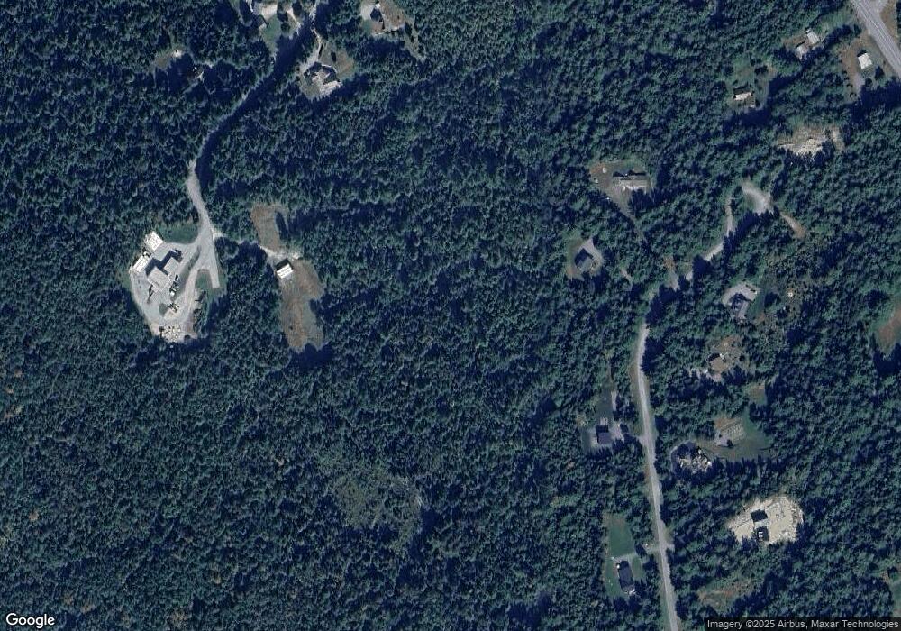
Map
Nearby Homes
- 170 S Whitefield Rd
- 28 Gould Rd
- 56 Jefferson Rd
- 0 Jefferson Rd Unit 3 5063272
- 19 Elm St
- 125 Parker Rd
- 75 Elm St
- 0 Evergreen Dr
- Lot 11 Mirror Lake Rd
- Lot 10 Mcintyre Rd
- Lot 1 Mcintyre Rd
- TBD Mcintyre Rd
- Lot 3 Mcintyre Rd
- Lot 4 Mcintyre Rd
- Lot 9 Mcintyre Rd
- Lot 8 Mcintyre Rd
- Lot 2 Mcintyre Rd
- 285 Lancaster Rd
- 235 Lancaster Rd Unit 5
- 237 Lancaster Rd Unit 1
- 571 Route 3 S
- 418-44 Joyce Unit 44
- 108 Grandpa Harrys
- Lot #4 Northwood Estates
- Lot #3 Northwood Estates
- Lot #6 Northwood Estates
- Wallace Ro 32 8 and 32 1
- 790 Route 302 W
- 216 Ridge Rd
- 615 West Unit Road
- 726 West Unit Road
- 720 West Unit Road
- 549 West Unit Road
- 28 Mountain View Ln
- 8 Kaybee Dr
- 96 Mcintyre Rd
- 102.1 Deer Path
- 102.2 Deer Path
- 134 S Whitefield Rd
- 116 S Whitefield Rd