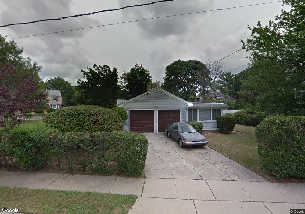
108 N Brookside Ave Freeport, NY 11520
Estimated Value: $621,887 - $635,000
Studio
3
Baths
1,729
Sq Ft
$363/Sq Ft
Est. Value
About This Home
This home is located at 108 N Brookside Ave, Freeport, NY 11520 and is currently estimated at $628,444, approximately $363 per square foot. 108 N Brookside Ave is a home located in Nassau County with nearby schools including Caroline G. Atkinson Intermediate School, Columbus Avenue School, and John W Dodd Middle School.
Ownership History
Date
Name
Owned For
Owner Type
Purchase Details
Closed on
Sep 11, 2018
Sold by
Held Sandra
Bought by
Held Marshall
Current Estimated Value
Purchase Details
Closed on
Mar 28, 2013
Sold by
Held Sandra and Held Marshall
Bought by
Held Sandra and Held Marshall
Purchase Details
Closed on
Jan 3, 2005
Sold by
Held Bernice
Create a Home Valuation Report for This Property
The Home Valuation Report is an in-depth analysis detailing your home's value as well as a comparison with similar homes in the area
Home Values in the Area
Average Home Value in this Area
Purchase History
| Date | Buyer | Sale Price | Title Company |
|---|---|---|---|
| Held Marshall | $189,500 | None Available | |
| Held Marshall | $189,500 | None Available | |
| Held Marshall | $189,500 | None Available | |
| Held Sandra | -- | -- | |
| Held Sandra | -- | -- | |
| Held Sandra | -- | -- | |
| -- | -- | -- | |
| -- | -- | -- |
Source: Public Records
Tax History
| Year | Tax Paid | Tax Assessment Tax Assessment Total Assessment is a certain percentage of the fair market value that is determined by local assessors to be the total taxable value of land and additions on the property. | Land | Improvement |
|---|---|---|---|---|
| 2025 | $5,690 | $393 | $203 | $190 |
| 2024 | $896 | $413 | $213 | $200 |
Source: Public Records
Map
Nearby Homes
- 2098 Felix Ct
- 6 Beverly Pkwy
- 883 Mckenna Ave
- 15 Mckenna Ave
- 215 N Brookside Ave
- 89 Delaware Ave
- 858 Seaman Ave E
- 107 California Ave
- 1850 Voshage St
- 1 Willowbrook Ln
- 60 Connecticut Ave
- 2 Florence St
- 139 New York Ave
- 1878 Lake Dr W
- 101 Wallace St
- 161 Wallace St
- 757 Bixby Dr
- 251 N Long Beach Ave
- 28 Lexington Ave
- 27 W Woodbine Dr
- 94 N Brookside Ave
- 157 N Bayview Ave
- 172 N Bayview Ave
- 107 N Brookside Ave
- 3 Mayfair Ct
- 3 Mayfair Ct
- 176 N Bayview Ave
- 195 Wilson Place
- 91 N Brookside Ave
- 80 N Brookside Ave
- 344 Lena Ave
- 117 N Brookside Ave
- 10 Mayfair Ct
- 192 Wilson Place
- 122 N Brookside Ave
- 11 Mayfair Ct
- 11 Mayfair Ct
- 149 N Bayview Ave
- 158 N Bayview Ave
- 9 Mayflower Ct
Your Personal Tour Guide
Ask me questions while you tour the home.