108 Perkins Rd Greenwich, CT 06830
Mid-Country East NeighborhoodEstimated Value: $3,554,000 - $3,865,000
4
Beds
6
Baths
5,038
Sq Ft
$727/Sq Ft
Est. Value
About This Home
This home is located at 108 Perkins Rd, Greenwich, CT 06830 and is currently estimated at $3,663,518, approximately $727 per square foot. 108 Perkins Rd is a home located in Fairfield County with nearby schools including North Street School, Central Middle School, and Greenwich High School.
Ownership History
Date
Name
Owned For
Owner Type
Purchase Details
Closed on
Jan 3, 1995
Sold by
Stimpson John G and Stimpson Kathleen E
Bought by
Lawrence William F and Lawrence Pamela M
Current Estimated Value
Create a Home Valuation Report for This Property
The Home Valuation Report is an in-depth analysis detailing your home's value as well as a comparison with similar homes in the area
Home Values in the Area
Average Home Value in this Area
Purchase History
| Date | Buyer | Sale Price | Title Company |
|---|---|---|---|
| Lawrence William F | $975,000 | -- |
Source: Public Records
Mortgage History
| Date | Status | Borrower | Loan Amount |
|---|---|---|---|
| Closed | Lawrence William F | $322,700 | |
| Closed | Lawrence William F | $525,000 | |
| Closed | Lawrence William F | $550,000 |
Source: Public Records
Tax History Compared to Growth
Tax History
| Year | Tax Paid | Tax Assessment Tax Assessment Total Assessment is a certain percentage of the fair market value that is determined by local assessors to be the total taxable value of land and additions on the property. | Land | Improvement |
|---|---|---|---|---|
| 2025 | $15,784 | $1,310,960 | $628,250 | $682,710 |
| 2024 | $15,351 | $1,310,960 | $628,250 | $682,710 |
| 2023 | $14,932 | $1,310,960 | $628,250 | $682,710 |
| 2022 | $14,788 | $1,310,960 | $628,250 | $682,710 |
| 2021 | $16,829 | $1,452,010 | $571,200 | $880,810 |
| 2020 | $16,829 | $1,452,010 | $571,200 | $880,810 |
| 2019 | $16,959 | $1,452,010 | $571,200 | $880,810 |
| 2018 | $16,509 | $1,452,010 | $571,200 | $880,810 |
| 2017 | $16,509 | $1,452,010 | $571,200 | $880,810 |
| 2016 | $16,263 | $1,452,010 | $571,200 | $880,810 |
| 2015 | $18,098 | $1,605,870 | $1,112,440 | $493,430 |
| 2014 | $17,616 | $1,605,870 | $1,112,440 | $493,430 |
Source: Public Records
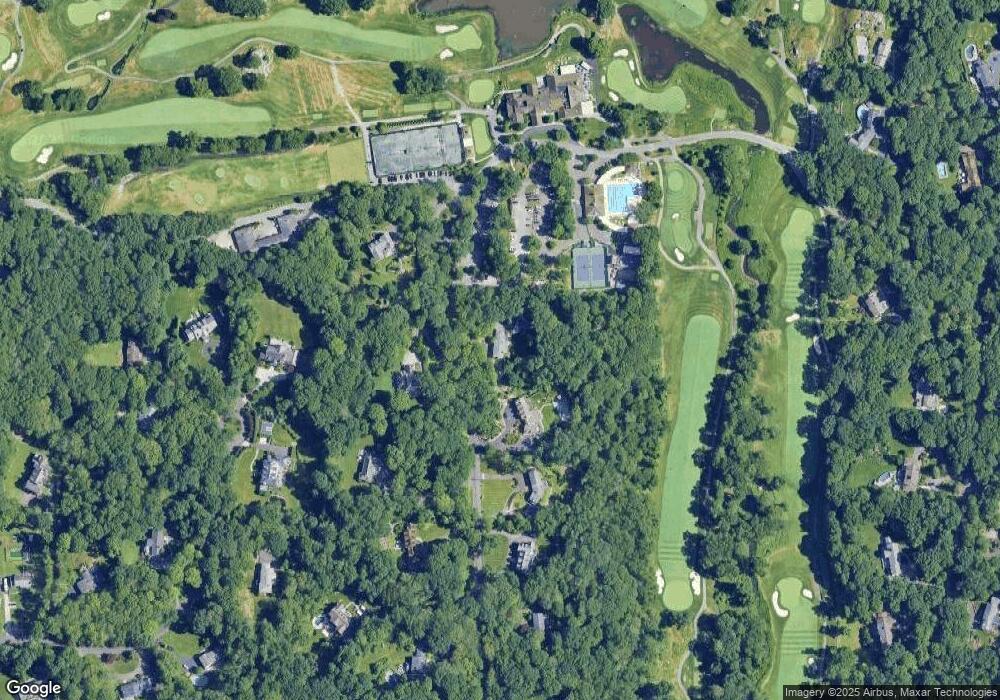
Map
Nearby Homes
- 101 Perkins Rd
- 78 Londonderry Dr
- 11 Winterset Rd
- 35 Andrews Farm Rd
- 37 Andrews Farm Rd
- 537 North St
- 411 Stanwich Rd
- 15 Andrews Farm Rd
- 26 Andrews Farm Rd
- 50 Dingletown Rd
- 10 Carissa Ln
- 12 Stallion Trail
- 14 Dewart Rd
- 490 North St
- 31 Sawmill Ln
- 10 Copper Beech Rd
- 182 Taconic Rd
- 724 North St
- 116 Birch Ln
- 100 Old Mill Ln