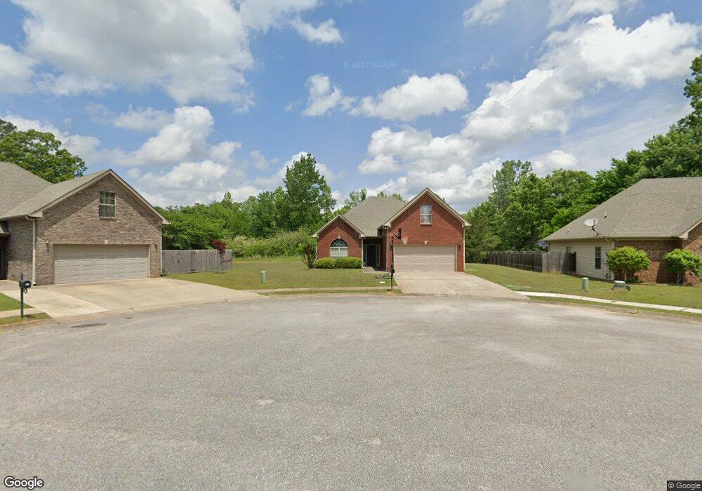
108 Runnymede Maylene, AL 35114
Estimated Value: $309,137 - $355,000
--
Bed
--
Bath
1,694
Sq Ft
$193/Sq Ft
Est. Value
About This Home
This home is located at 108 Runnymede, Maylene, AL 35114 and is currently estimated at $327,284, approximately $193 per square foot. 108 Runnymede is a home located in Shelby County with nearby schools including Thompson Intermediate School, Thompson Middle School, and Thompson High School.
Ownership History
Date
Name
Owned For
Owner Type
Purchase Details
Closed on
Dec 2, 2014
Sold by
Hinkle Scott and Hinkle Rebecca
Bought by
Austin Lisa A
Current Estimated Value
Home Financials for this Owner
Home Financials are based on the most recent Mortgage that was taken out on this home.
Original Mortgage
$171,830
Outstanding Balance
$133,911
Interest Rate
4.4%
Mortgage Type
FHA
Estimated Equity
$193,373
Purchase Details
Closed on
Feb 28, 2007
Sold by
Professional Homebuilders Inc
Bought by
Hinkle Scott and Hinkle Rebecca
Home Financials for this Owner
Home Financials are based on the most recent Mortgage that was taken out on this home.
Original Mortgage
$179,300
Interest Rate
6.16%
Mortgage Type
Unknown
Create a Home Valuation Report for This Property
The Home Valuation Report is an in-depth analysis detailing your home's value as well as a comparison with similar homes in the area
Home Values in the Area
Average Home Value in this Area
Purchase History
| Date | Buyer | Sale Price | Title Company |
|---|---|---|---|
| Austin Lisa A | $175,000 | None Available | |
| Hinkle Scott | $179,300 | None Available |
Source: Public Records
Mortgage History
| Date | Status | Borrower | Loan Amount |
|---|---|---|---|
| Open | Austin Lisa A | $171,830 | |
| Previous Owner | Hinkle Scott | $179,300 |
Source: Public Records
Tax History Compared to Growth
Tax History
| Year | Tax Paid | Tax Assessment Tax Assessment Total Assessment is a certain percentage of the fair market value that is determined by local assessors to be the total taxable value of land and additions on the property. | Land | Improvement |
|---|---|---|---|---|
| 2024 | $1,470 | $27,220 | $0 | $0 |
| 2023 | $1,359 | $25,920 | $0 | $0 |
| 2022 | $1,253 | $23,960 | $0 | $0 |
| 2021 | $1,080 | $20,760 | $0 | $0 |
| 2020 | $1,002 | $19,320 | $0 | $0 |
| 2019 | $954 | $18,420 | $0 | $0 |
| 2017 | $880 | $17,060 | $0 | $0 |
| 2015 | $834 | $16,200 | $0 | $0 |
| 2014 | $834 | $16,200 | $0 | $0 |
Source: Public Records
Map
Nearby Homes
- 501 Ramsgate Dr
- 208 Queens Gate
- 236 Queens Gate
- 233 Queens Gate
- 312 Cornwall Dr
- 306 Mayfair Cir
- 217 Mayfair Park
- 545 Ramsgate Dr
- 549 Ramsgate Dr
- 309 Cedar Grove Ct
- 537 Ramsgate Dr
- 445 Ramsgate Dr
- 109 Kingsley Cir
- 280 Cedar Grove Pkwy
- 128 Oak St
- 460 Fox Valley Farms Rd Unit 3
- 440 Fox Valley Farms Rd Unit 4
- 217 Kensington Ln
- 117 Kensington Ln
- 1805 Mohawk Dr
- 108 Runnymede
- 112 Runnymede
- 104 Runnymede
- 113 Runnymede
- 105 Runnymede
- 109 Runnymede
- 113 Runnymede
- 235 Victoria Station
- 109 Runnymede
- 105 Runnymede
- 239 Victoria Station
- 228 Victoria Station
- 243 Victoria Station
- 224 Victoria Station
- 224 Victoria Station
- 232 Victoria Station
- 129 Cedar Grove Pkwy
- 135 Cedar Grove Pkwy
- 139 Cedar Grove Pkwy
- 220 Victoria Station