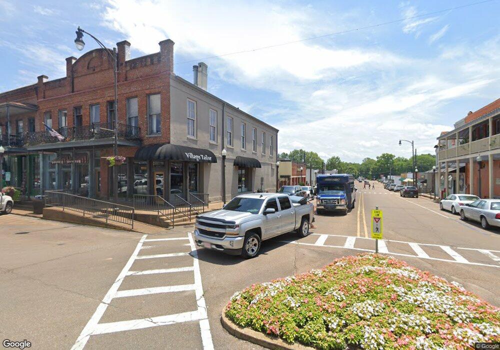
1080 Cr Oxford, MS 38655
Estimated Value: $1,294,000
--
Bed
1
Bath
1,728
Sq Ft
$749/Sq Ft
Est. Value
About This Home
This home is located at 1080 Cr, Oxford, MS 38655 and is currently estimated at $1,294,000, approximately $748 per square foot. 1080 Cr is a home with nearby schools including Lafayette Elementary School, Lafayette Upper Elementary School, and Lafayette Middle School.
Ownership History
Date
Name
Owned For
Owner Type
Purchase Details
Closed on
Aug 14, 2024
Sold by
Myers Gary
Bought by
Ws Oxford Llc
Current Estimated Value
Home Financials for this Owner
Home Financials are based on the most recent Mortgage that was taken out on this home.
Original Mortgage
$2,700,000
Outstanding Balance
$2,669,912
Interest Rate
6.95%
Mortgage Type
New Conventional
Estimated Equity
-$1,375,912
Purchase Details
Closed on
Mar 5, 2008
Sold by
Davis Thomas R
Bought by
Hunt Club Properties Llc
Create a Home Valuation Report for This Property
The Home Valuation Report is an in-depth analysis detailing your home's value as well as a comparison with similar homes in the area
Home Values in the Area
Average Home Value in this Area
Purchase History
| Date | Buyer | Sale Price | Title Company |
|---|---|---|---|
| Ws Oxford Llc | -- | None Listed On Document | |
| Ws Oxford Llc | -- | None Listed On Document | |
| Hunt Club Properties Llc | -- | None Available |
Source: Public Records
Mortgage History
| Date | Status | Borrower | Loan Amount |
|---|---|---|---|
| Open | Ws Oxford Llc | $2,700,000 |
Source: Public Records
Tax History Compared to Growth
Tax History
| Year | Tax Paid | Tax Assessment Tax Assessment Total Assessment is a certain percentage of the fair market value that is determined by local assessors to be the total taxable value of land and additions on the property. | Land | Improvement |
|---|---|---|---|---|
| 2024 | $7,342 | $67,557 | $0 | $0 |
| 2023 | $7,342 | $66,579 | $0 | $0 |
| 2022 | $7,103 | $66,579 | $0 | $0 |
| 2021 | $7,214 | $66,579 | $0 | $0 |
| 2020 | $7,228 | $68,124 | $0 | $0 |
| 2019 | $7,228 | $68,124 | $0 | $0 |
| 2018 | $7,245 | $68,124 | $0 | $0 |
| 2017 | $7,245 | $68,124 | $0 | $0 |
| 2016 | $6,599 | $62,769 | $0 | $0 |
| 2015 | -- | $62,769 | $0 | $0 |
| 2014 | -- | $62,769 | $0 | $0 |
Source: Public Records
Map
Nearby Homes
- 133 Heights Dr
- 11 County Road 1057
- 100 Heights Dr
- 607 Happy Ln
- 710 Happy Ln
- 4144 Fieldstone Loop
- 1048 Fieldstone Ln
- 1054 Fieldstone Ln
- 128 Cedar Hill Dr
- 108 Cedar Hill Dr
- 8013 Cart Path Ln
- 8001 Cart Path Ln
- 8015 Cart Path Ln
- 8023 Cart Path Ln
- 8003 Cart Path Ln
- 8007 Cart Path Ln
- 8021 Cart Path Ln
- 8017 Cart Path Ln
- 8005 Cart Path Ln
- 8009 Cart Path Ln
- 101 Private Road 1180
- 122 County Road 102
- 105 Private Road 1180
- 105 Private Road 1180
- 27 Britton Dr
- 100 Pr 1180 (Cr 102)
- 100 Private Road 1180
- 123 County Road 102
- 201 Britton Dr
- 206 Britton Dr
- 217 Britton Dr
- 113 County Road 1078
- 121 County Road 1078
- 109 County Road 1078
- 100 County Road 1078
- 101 County Road 1078
- 364 Cr 202
- 213 Cr 102
- 226A Cr 162
- 216-F Cr 202