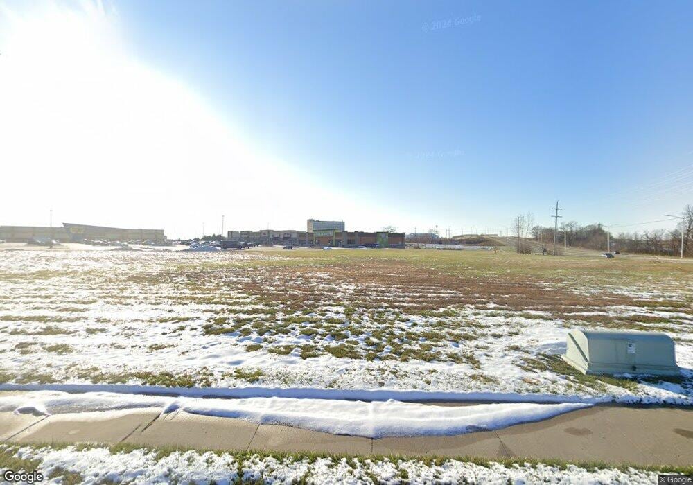
10800 N Skyview Ave Kansas City, MO 64154
Estimated Value: $439,772 - $680,000
3
Beds
2
Baths
9,537
Sq Ft
$59/Sq Ft
Est. Value
About This Home
This home is located at 10800 N Skyview Ave, Kansas City, MO 64154 and is currently estimated at $558,591, approximately $58 per square foot. 10800 N Skyview Ave is a home located in Platte County with nearby schools including Platte County High School, Northland Christian Education System, and Faith Christian Academy.
Ownership History
Date
Name
Owned For
Owner Type
Purchase Details
Closed on
May 31, 2022
Sold by
West Family Partnership Lp
Bought by
William T Mann Revocable Trust
Current Estimated Value
Purchase Details
Closed on
Oct 19, 2005
Sold by
Gromer Patry L
Bought by
Gromer Larry E
Create a Home Valuation Report for This Property
The Home Valuation Report is an in-depth analysis detailing your home's value as well as a comparison with similar homes in the area
Home Values in the Area
Average Home Value in this Area
Purchase History
| Date | Buyer | Sale Price | Title Company |
|---|---|---|---|
| William T Mann Revocable Trust | -- | Stewart Title | |
| William T Mann Revocable Trust | -- | Stewart Title | |
| Gromer Larry E | -- | None Available |
Source: Public Records
Tax History Compared to Growth
Tax History
| Year | Tax Paid | Tax Assessment Tax Assessment Total Assessment is a certain percentage of the fair market value that is determined by local assessors to be the total taxable value of land and additions on the property. | Land | Improvement |
|---|---|---|---|---|
| 2024 | $2,208 | $29,436 | $5,971 | $23,465 |
| 2023 | $2,205 | $29,436 | $5,971 | $23,465 |
| 2022 | $2,275 | $29,436 | $5,971 | $23,465 |
| 2021 | $2,282 | $29,436 | $5,971 | $23,465 |
| 2020 | $2,294 | $29,877 | $6,412 | $23,465 |
| 2019 | $2,294 | $29,877 | $6,412 | $23,465 |
| 2018 | $2,332 | $29,877 | $6,412 | $23,465 |
| 2017 | $2,298 | $29,877 | $6,412 | $23,465 |
| 2016 | $2,275 | $29,877 | $6,412 | $23,465 |
| 2015 | $821 | $10,796 | $2,612 | $8,184 |
| 2013 | $774 | $10,762 | $0 | $0 |
Source: Public Records
Map
Nearby Homes
- 10712 N Fisk Ave
- 10617 N Fisk Ave
- 10515 N Dalton Ave
- 1608 105th St
- 1601 NW 105th St
- 1613 105th St
- 6705 NW 105th St
- 6123 NW 104th Terrace
- The York Plan at Tiffany Greens
- The Wyndham V Plan at Tiffany Greens
- The Wydnham II Plan at Tiffany Greens
- The Timberland Reverse Plan at Tiffany Greens
- The Timberland Plan at Tiffany Greens
- The Timberland Expanded Plan at Tiffany Greens
- The Sierra V Plan at Tiffany Greens
- The Sierra IV Plan at Tiffany Greens
- The Sierra II Plan at Tiffany Greens
- The Scottsdale Reverse Plan at Tiffany Greens
- The Scottsdale Plan at Tiffany Greens
- The Payton Plan at Tiffany Greens
- 6600 NW 107th Ct
- 10735 N Fisk Ave
- 6608 NW 107th Ct
- 10731 N Fisk Ave
- 6612 NW 107th Ct
- 10820 N Skyview Ave
- 10727 N Fisk Ave
- 6616 NW 107th Ct
- 6601 NW 107th Ct
- 6605 NW 107th Ct
- 10723 N Fisk Ave
- 6615 NW 107th Ct
- 6609 NW 107th Ct
- 10719 N Fisk Ave
- 10720 N Fisk Ave
- 10715 N Fisk Ave
- 10716 N Fisk Ave
- 10711 N Fisk Ave
- 10707 N Fisk Ave
- 10708 N Fisk Ave
