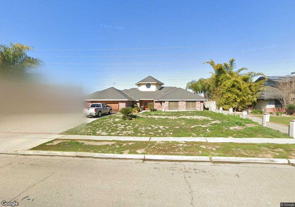
10806 Dee Dee Ave Bakersfield, CA 93312
Polo Grounds NeighborhoodEstimated Value: $552,000 - $596,000
4
Beds
4
Baths
2,746
Sq Ft
$210/Sq Ft
Est. Value
About This Home
This home is located at 10806 Dee Dee Ave, Bakersfield, CA 93312 and is currently estimated at $575,712, approximately $209 per square foot. 10806 Dee Dee Ave is a home located in Kern County with nearby schools including Rosedale-North Elementary School, Freedom Middle School, and Centennial High School.
Ownership History
Date
Name
Owned For
Owner Type
Purchase Details
Closed on
Nov 16, 2000
Sold by
Mebane Mark Helm and Mebane Karen
Bought by
Garcia Jacinto and Garcia Nancy Nevel
Current Estimated Value
Create a Home Valuation Report for This Property
The Home Valuation Report is an in-depth analysis detailing your home's value as well as a comparison with similar homes in the area
Home Values in the Area
Average Home Value in this Area
Purchase History
| Date | Buyer | Sale Price | Title Company |
|---|---|---|---|
| Garcia Jacinto | $185,000 | First American Title Co |
Source: Public Records
Tax History Compared to Growth
Tax History
| Year | Tax Paid | Tax Assessment Tax Assessment Total Assessment is a certain percentage of the fair market value that is determined by local assessors to be the total taxable value of land and additions on the property. | Land | Improvement |
|---|---|---|---|---|
| 2025 | $3,643 | $278,739 | $60,260 | $218,479 |
| 2024 | $3,643 | $273,275 | $59,079 | $214,196 |
| 2023 | $3,559 | $267,918 | $57,921 | $209,997 |
| 2022 | $3,467 | $262,666 | $56,786 | $205,880 |
| 2021 | $3,352 | $257,517 | $55,673 | $201,844 |
| 2020 | $3,286 | $254,878 | $55,103 | $199,775 |
| 2019 | $3,236 | $254,878 | $55,103 | $199,775 |
| 2018 | $3,131 | $244,982 | $52,964 | $192,018 |
| 2017 | $3,097 | $240,179 | $51,926 | $188,253 |
| 2016 | $2,881 | $235,470 | $50,908 | $184,562 |
| 2015 | $2,847 | $231,934 | $50,144 | $181,790 |
| 2014 | $2,782 | $227,391 | $49,162 | $178,229 |
Source: Public Records
Map
Nearby Homes
- 3108 Holbrook St
- 3435 Moss St
- 11201 Paddock Ave
- 10701 Meacham Rd
- 3613 Aslin St
- 3122 Campfire Dr Unit 2
- 11617 Cactus Dr
- 2125 Verdugo Ln
- 11705 Cactus Dr
- 10601 Michele Ave
- 10600 Michele Ave
- 10429 Enger St
- 10729 Lindalee Ln
- 11265 Poulsen Way
- 2008 Torrey Dr
- 3622 Azure Dr
- 10307 Glenn St
- 11711 Stratosphere Ave
- 11908 Nebula Ct
- 11910 Compass Ave
- 10800 Dee Dee Ave
- 10812 Dee Dee Ave
- 10818 Dee Dee Ave
- 10803 Dee Dee Ave
- 10718 Dee Dee Ave
- 10818 Dee Ave
- 10819 Dee Dee Ave
- 10900 Dee Dee Ave
- 10900 Dee Ave
- 10712 Dee Dee Ave
- 2801 La Cresenta Dr
- 10901 Dee Ave
- 10706 Dee Ave
- 10706 Dee Dee Ave
- 10906 Dee Ave
- 10906 Dee Dee Ave
- 10801 Baron Ave
- 10719 Baron Ave
- 10901 Dee Dee Ave
- 10807 Baron Ave