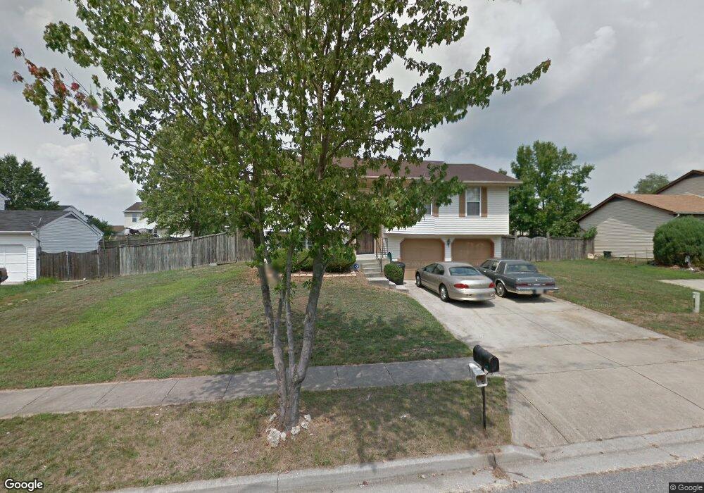
10806 Devlin Dr Upper Marlboro, MD 20772
Estimated Value: $392,811 - $475,000
Studio
3
Baths
1,164
Sq Ft
$377/Sq Ft
Est. Value
About This Home
This home is located at 10806 Devlin Dr, Upper Marlboro, MD 20772 and is currently estimated at $438,453, approximately $376 per square foot. 10806 Devlin Dr is a home located in Prince George's County with nearby schools including Rosaryville Elementary School, James Madison Middle School, and Frederick Douglass High School.
Ownership History
Date
Name
Owned For
Owner Type
Purchase Details
Closed on
Oct 20, 2020
Sold by
Cruthird Parker Alisha and Estate Of Artiemese Margaret C
Bought by
Ford Cherrice and Cruthird Theresa
Current Estimated Value
Purchase Details
Closed on
Feb 8, 2013
Sold by
Cruthird Artiemese M
Bought by
Cruthird Artiemese M
Purchase Details
Closed on
Aug 4, 1988
Sold by
Washington Homes
Bought by
Weekless Blanche B
Create a Home Valuation Report for This Property
The Home Valuation Report is an in-depth analysis detailing your home's value as well as a comparison with similar homes in the area
Home Values in the Area
Average Home Value in this Area
Purchase History
| Date | Buyer | Sale Price | Title Company |
|---|---|---|---|
| Ford Cherrice | -- | None Available | |
| Cruthird Artiemese M | -- | None Available | |
| Weekless Blanche B | $107,300 | -- |
Source: Public Records
Tax History
| Year | Tax Paid | Tax Assessment Tax Assessment Total Assessment is a certain percentage of the fair market value that is determined by local assessors to be the total taxable value of land and additions on the property. | Land | Improvement |
|---|---|---|---|---|
| 2025 | $6,303 | $429,400 | $116,200 | $313,200 |
| 2024 | $6,303 | $397,300 | -- | -- |
| 2023 | $5,825 | $365,200 | $0 | $0 |
| 2022 | $7,413 | $333,100 | $101,200 | $231,900 |
| 2021 | $7,204 | $319,000 | $0 | $0 |
| 2020 | $4,131 | $304,900 | $0 | $0 |
| 2019 | $4,164 | $290,800 | $100,600 | $190,200 |
| 2018 | $2,707 | $279,300 | $0 | $0 |
| 2017 | $3,724 | $267,800 | $0 | $0 |
| 2016 | -- | $256,300 | $0 | $0 |
| 2015 | $2,583 | $248,533 | $0 | $0 |
| 2014 | $2,583 | $240,767 | $0 | $0 |
Source: Public Records
Map
Nearby Homes
- 10748 Hollaway Dr
- 10710 Tyrone Dr
- 10708 Tyrone Dr
- 9800 Gay Dr
- 9716 Penguin Place
- 10908 Dower House Ct
- 9701 Dale Dr
- 10305 Beaver Knoll Dr
- 10911 Brookwood Ave
- 10406 Basel Dr
- 9932 Pesade Way
- 9929 Pesade Way
- 10112 Dressage Dr
- 9073 Ballotade St Unit 7WA095
- 9071 Ballotade St Unit 7WA096
- 9104 Trumps Hill Rd
- 0 Old Indian Head Rd Unit MDPG2188584
- 0 Old Indian Head Rd Unit MDPG2165760
- 9808 Williamsburg Dr
- 9707 Muirfield Dr
- 10808 Devlin Dr
- 10804 Devlin Dr
- 10807 Waco Dr
- 10805 Waco Dr
- 10809 Waco Dr
- 10810 Devlin Dr
- 10802 Devlin Dr
- 10807 Devlin Dr
- 10803 Waco Dr
- 10805 Devlin Dr
- 10809 Devlin Dr
- 10811 Waco Dr
- 10811 Devlin Dr
- 10755 Hollaway Dr
- 10812 Devlin Dr
- 10803 Devlin Dr
- 10757 Hollaway Dr
- 10813 Waco Dr
- 10813 Devlin Dr
- 10801 Devlin Dr
Your Personal Tour Guide
Ask me questions while you tour the home.