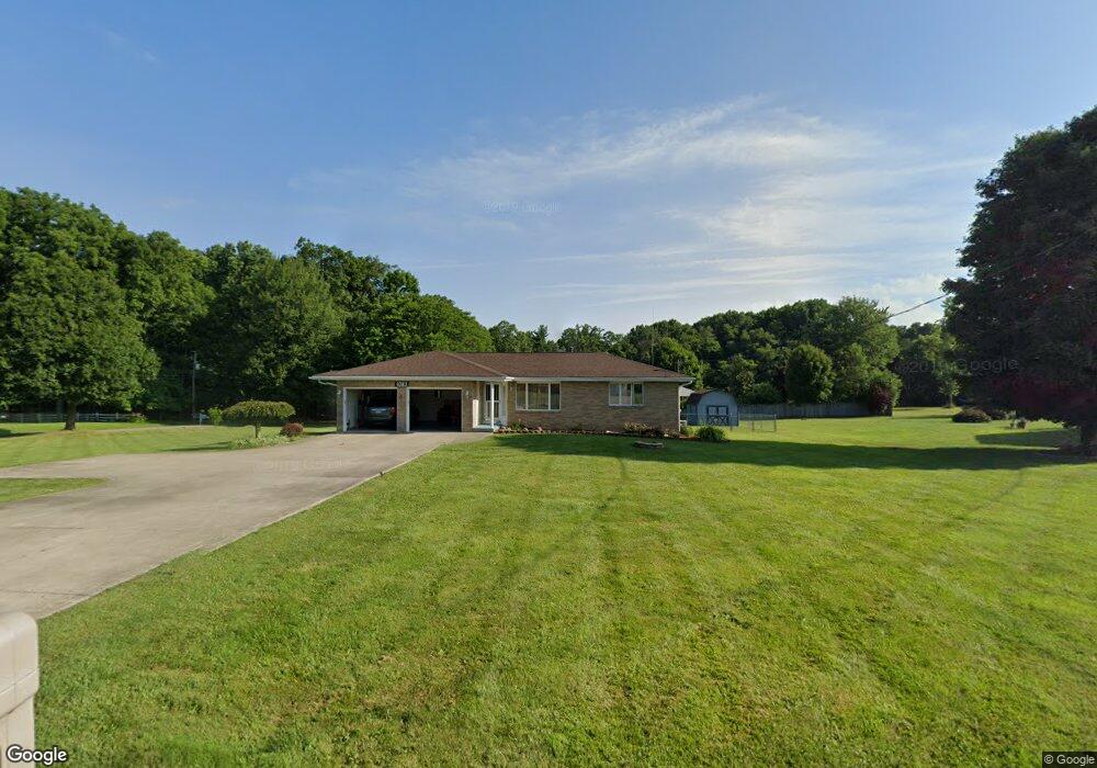
1083 Piper Rd Mansfield, OH 44905
Estimated Value: $199,000 - $270,000
3
Beds
2
Baths
1,326
Sq Ft
$179/Sq Ft
Est. Value
About This Home
This home is located at 1083 Piper Rd, Mansfield, OH 44905 and is currently estimated at $237,619, approximately $179 per square foot. 1083 Piper Rd is a home located in Richland County with nearby schools including Madison High School, Temple-Christian School, and St. Mary Catholic School.
Ownership History
Date
Name
Owned For
Owner Type
Purchase Details
Closed on
Nov 20, 2024
Sold by
Mullins Kennith L and Mullins Rebecca L
Bought by
Gettman Kegan and Gettman Julissa
Current Estimated Value
Purchase Details
Closed on
Dec 7, 2016
Sold by
Ludimg Paul E and Hamcock Bertra Alice
Bought by
Hancock Bertha Alice
Purchase Details
Closed on
Aug 2, 2005
Sold by
Ludwig Paul E and Hancock Bertha Alice
Bought by
Ludwig Paul E and Hancock Bertha Alice
Purchase Details
Closed on
Nov 4, 1998
Sold by
Petee Harry C
Bought by
Ludwig Paul E and Ludwig Clella S
Home Financials for this Owner
Home Financials are based on the most recent Mortgage that was taken out on this home.
Original Mortgage
$25,000
Interest Rate
6.72%
Mortgage Type
New Conventional
Purchase Details
Closed on
Jun 25, 1991
Sold by
Bise Marjorie
Bought by
Petee Harry C
Purchase Details
Closed on
Oct 1, 1986
Create a Home Valuation Report for This Property
The Home Valuation Report is an in-depth analysis detailing your home's value as well as a comparison with similar homes in the area
Home Values in the Area
Average Home Value in this Area
Purchase History
| Date | Buyer | Sale Price | Title Company |
|---|---|---|---|
| Gettman Kegan | $195,000 | First Protection Title | |
| Gettman Kegan | $195,000 | First Protection Title | |
| Hancock Bertha Alice | -- | Attorney | |
| Ludwig Paul E | -- | -- | |
| Ludwig Paul E | $120,000 | -- | |
| Petee Harry C | $86,500 | -- | |
| -- | $8,300 | -- |
Source: Public Records
Mortgage History
| Date | Status | Borrower | Loan Amount |
|---|---|---|---|
| Previous Owner | Ludwig Paul E | $25,000 |
Source: Public Records
Tax History Compared to Growth
Tax History
| Year | Tax Paid | Tax Assessment Tax Assessment Total Assessment is a certain percentage of the fair market value that is determined by local assessors to be the total taxable value of land and additions on the property. | Land | Improvement |
|---|---|---|---|---|
| 2024 | $2,728 | $65,030 | $12,200 | $52,830 |
| 2023 | $2,728 | $65,030 | $12,200 | $52,830 |
| 2022 | $2,184 | $47,960 | $10,730 | $37,230 |
| 2021 | $2,183 | $47,960 | $10,730 | $37,230 |
| 2020 | $2,198 | $47,960 | $10,730 | $37,230 |
| 2019 | $2,013 | $40,640 | $9,090 | $31,550 |
| 2018 | $1,844 | $40,640 | $9,090 | $31,550 |
| 2017 | $1,850 | $40,640 | $9,090 | $31,550 |
| 2016 | $1,628 | $35,810 | $4,450 | $31,360 |
| 2015 | $1,554 | $35,810 | $4,450 | $31,360 |
| 2014 | $1,547 | $35,810 | $4,450 | $31,360 |
| 2012 | $1,510 | $40,270 | $9,090 | $31,180 |
Source: Public Records
Map
Nearby Homes
- 1585 Beal Rd
- 920 Piper Rd
- 1292 Wolford Rd
- 0 Hoover Rd
- 1245 N Stewart Rd
- 1791 Beal Rd
- 1158 Delwood Rd
- 1150 Delwood Dr
- 1151 Beal Rd
- 1106 Keller Dr Unit 1108
- 1140 5th Ave
- 0 Wesley
- 903 Mayflower Ave
- 741 Yale Ave
- 735 Pennsylvania Ave
- 1806 Richard Dr
- 1199 Evergreen Ave W
- 1183 Evergreen Ave W
- 683 Coachman Rd
- 671 Coachman Rd
- 1544 N Stewart Rd
- 1082 Piper Rd
- 1095 Piper Rd
- 1061 Piper Rd
- 1098 Piper Rd
- 1564 N Stewart Rd
- 1543 N Stewart Rd
- 1500 N Stewart Rd
- 1052 Piper Rd
- 1491 Molly Ct
- 1044 Piper Rd
- 1576 N Stewart Rd
- 1415 Molly Ct
- 1033 Piper Rd
- 1481 Molly Ct
- 1502 Molly Ct
- 1507 N Stewart Rd
- 1492 Molly Ct
- 1478 N Stewart Rd
- 1030 Piper Rd