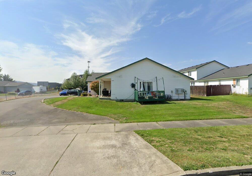
1085 Townsend Loop Post Falls, ID 83854
Post Falls East NeighborhoodEstimated Value: $963,000 - $1,284,000
10
Beds
8
Baths
3,600
Sq Ft
$307/Sq Ft
Est. Value
About This Home
This home is located at 1085 Townsend Loop, Post Falls, ID 83854 and is currently estimated at $1,106,659, approximately $307 per square foot. 1085 Townsend Loop is a home located in Kootenai County with nearby schools including Prairie View Elementary School, Post Falls Middle School, and Post Falls High School.
Ownership History
Date
Name
Owned For
Owner Type
Purchase Details
Closed on
Apr 11, 2025
Sold by
Tom And Cali Nieland Living Trust and Nieland Tom
Bought by
Post Falls Land Management
Current Estimated Value
Purchase Details
Closed on
Oct 26, 2020
Sold by
Nieland Thomas T and Nieland Cali J
Bought by
Nieland Thomas T and Nieland Cali J
Create a Home Valuation Report for This Property
The Home Valuation Report is an in-depth analysis detailing your home's value as well as a comparison with similar homes in the area
Home Values in the Area
Average Home Value in this Area
Purchase History
| Date | Buyer | Sale Price | Title Company |
|---|---|---|---|
| Post Falls Land Management | -- | None Listed On Document | |
| Nieland Thomas T | -- | None Available |
Source: Public Records
Tax History
| Year | Tax Paid | Tax Assessment Tax Assessment Total Assessment is a certain percentage of the fair market value that is determined by local assessors to be the total taxable value of land and additions on the property. | Land | Improvement |
|---|---|---|---|---|
| 2025 | $5,810 | $936,828 | $184,000 | $752,828 |
| 2024 | $6,030 | $936,828 | $184,000 | $752,828 |
| 2023 | $6,030 | $985,800 | $184,000 | $801,800 |
| 2022 | $5,978 | $945,000 | $184,000 | $761,000 |
| 2021 | $6,507 | $630,000 | $115,000 | $515,000 |
| 2020 | $5,071 | $427,800 | $95,000 | $332,800 |
| 2019 | $5,351 | $409,200 | $80,000 | $329,200 |
| 2018 | $5,866 | $409,200 | $45,000 | $364,200 |
| 2017 | $4,940 | $312,000 | $42,000 | $270,000 |
| 2016 | $4,952 | $296,400 | $42,000 | $254,400 |
| 2015 | $5,023 | $280,800 | $42,000 | $238,800 |
| 2013 | $4,602 | $249,600 | $34,000 | $215,600 |
Source: Public Records
Map
Nearby Homes
- 3414 E 12th Ave
- 3270 E Quad Park Ct
- 1253 N Monticello St
- NNA E Mullan Ave
- 3683 E Mullan Ave
- 1366 N Brookhaven Ln
- 926 N Goldenrod Ct
- 1356 N Highway 41 Unit 6
- 1049 N Bainbridge St
- 3755 E 16th Ave
- 4764 E Seltice Way
- 828 N Doryport Ct
- 940 N Harlequin Dr
- 352 N Promenade Loop Unit 103
- L1B1 N Post Falls Dr
- 1048 E 4th Ave
- 1048 E 4th Ave Unit 104
- 4502 E Savea Ln
- 4451 E Davin Dr
- 4422 E Savea Ln
- 1085 N Townsend Loop
- 1115 Townsend Loop
- 1115 N Townsend Loop
- 1080 N Townsend Loop
- 1073 N Townsend Loop
- 1145 Townsend Loop
- 1145 N Townsend Loop
- 1100 N Townsend Loop
- 1065 N Townsend Loop
- 1055 N Townsend Loop
- 998 N Kimberly Ln
- 987 N Kimberly Ln
- 1030 N Townsend Loop
- 1010 N Townsend Loop
- 988 N Kimberly Ln
- 3450 E 12th Ave
- 1150 N Townsend Loop
- 3365 E Quad Park Ct
- 980 N Townsend Loop
- 963 N Kimberly Ln