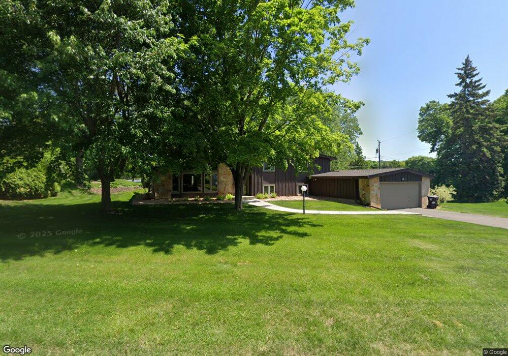
1086 1086 Sylvandale Rd Mendota, MN 55118
Estimated Value: $601,000 - $753,000
4
Beds
3
Baths
1,514
Sq Ft
$427/Sq Ft
Est. Value
About This Home
This home is located at 1086 1086 Sylvandale Rd, Mendota, MN 55118 and is currently estimated at $646,965, approximately $427 per square foot. 1086 1086 Sylvandale Rd is a home located in Dakota County with nearby schools including Somerset Elementary School, Heritage E-STEM Magnet School, and Two Rivers High School.
Ownership History
Date
Name
Owned For
Owner Type
Purchase Details
Closed on
Feb 24, 2009
Sold by
Not Provided
Bought by
Walsh Josyh M and Walsh Laurie A
Current Estimated Value
Home Financials for this Owner
Home Financials are based on the most recent Mortgage that was taken out on this home.
Original Mortgage
$328,500
Outstanding Balance
$209,655
Interest Rate
5.2%
Mortgage Type
New Conventional
Estimated Equity
$437,310
Create a Home Valuation Report for This Property
The Home Valuation Report is an in-depth analysis detailing your home's value as well as a comparison with similar homes in the area
Home Values in the Area
Average Home Value in this Area
Purchase History
| Date | Buyer | Sale Price | Title Company |
|---|---|---|---|
| Walsh Josyh M | $389,900 | -- |
Source: Public Records
Mortgage History
| Date | Status | Borrower | Loan Amount |
|---|---|---|---|
| Open | Walsh Josyh M | $328,500 |
Source: Public Records
Tax History Compared to Growth
Tax History
| Year | Tax Paid | Tax Assessment Tax Assessment Total Assessment is a certain percentage of the fair market value that is determined by local assessors to be the total taxable value of land and additions on the property. | Land | Improvement |
|---|---|---|---|---|
| 2024 | $5,612 | $599,400 | $227,900 | $371,500 |
| 2023 | $5,612 | $586,100 | $222,800 | $363,300 |
| 2022 | $5,084 | $586,800 | $222,200 | $364,600 |
| 2021 | $5,180 | $507,200 | $193,300 | $313,900 |
| 2020 | $4,986 | $509,200 | $184,100 | $325,100 |
| 2019 | $5,010 | $474,100 | $175,300 | $298,800 |
| 2018 | $4,560 | $452,300 | $163,800 | $288,500 |
| 2017 | $4,516 | $427,200 | $156,000 | $271,200 |
| 2016 | $4,275 | $409,000 | $148,500 | $260,500 |
| 2015 | $3,993 | $389,931 | $147,754 | $242,177 |
| 2014 | -- | $350,255 | $138,132 | $212,123 |
| 2013 | -- | $322,678 | $132,902 | $189,776 |
Source: Public Records
Map
Nearby Homes
- 679 Maple Park Dr
- 625 Ivy Falls Ave
- 1174 Dodd Rd
- 1000 Winston Cir
- 648 Sunset Ln
- 606 Sutcliff Cir
- 13XX Clement St
- 1164 Dodd Rd
- 8 Dorset Rd
- 1330 Wachtler Ave
- 967 Cherokee Ave
- 1172 Ottawa Ave
- 955 Cherokee Ave
- 1328 Riverside Ln
- 1320 Riverside Ln Unit 303
- 1320 Riverside Ln Unit 112
- 421 Ruby Dr
- 801 Cherokee Ave
- 751 Butternut Ave
- 750 Delaware Ave
- 1086 Sylvandale Rd
- 1100 Sylvandale Rd
- 668 Woodridge Dr
- 1066 Sylvandale Rd
- 1101 Sylvandale Rd
- 1114 Sylvandale Rd
- 676 Woodridge Dr
- 665 Woodridge Dr
- 1056 Sylvandale Rd
- 665 Arcadia Dr
- 671 Woodridge Dr
- 1043 Brompton Place
- 1126 Sylvandale Rd
- 1089 Ivy Hill Dr
- 682 Woodridge Dr
- 662 Sibley Memorial Hwy
- 1087 Ivy Hill Dr
- 671 Arcadia Dr
- 679 Woodridge Dr
- 1085 Ivy Hill Dr