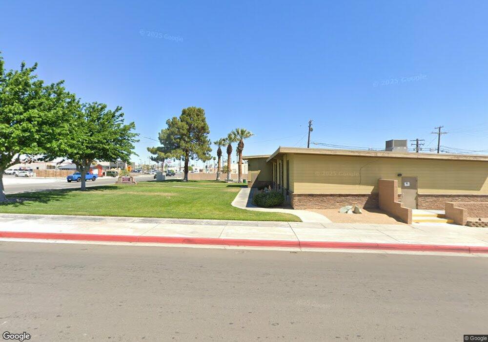
1086 Po Box Twentynine Palms, CA 92277
Estimated Value: $124,000 - $199,000
2
Beds
1
Bath
808
Sq Ft
$203/Sq Ft
Est. Value
About This Home
This home is located at 1086 Po Box, Twentynine Palms, CA 92277 and is currently estimated at $163,654, approximately $202 per square foot. 1086 Po Box is a home located in San Bernardino County with nearby schools including Twentynine Palms Elementary School, Twentynine Palms Junior High School, and Twentynine Palms High School.
Ownership History
Date
Name
Owned For
Owner Type
Purchase Details
Closed on
May 7, 2025
Sold by
Soper Linda Brown and Soper Dean Weston
Bought by
Soper Linda Brown
Current Estimated Value
Purchase Details
Closed on
Dec 14, 2023
Sold by
Straite Kalarina
Bought by
Soper Linda Brown and Soper Dean Weston
Purchase Details
Closed on
Oct 11, 2016
Sold by
Straite Kalarina and Page Calarina
Bought by
Straite Kalarina
Home Financials for this Owner
Home Financials are based on the most recent Mortgage that was taken out on this home.
Original Mortgage
$27,750
Interest Rate
3.5%
Mortgage Type
Purchase Money Mortgage
Purchase Details
Closed on
Jan 31, 1995
Sold by
Lindsay Vernon and Lindsay Sarah Jane
Bought by
Straite Stanley C
Home Financials for this Owner
Home Financials are based on the most recent Mortgage that was taken out on this home.
Original Mortgage
$20,500
Interest Rate
8.77%
Mortgage Type
Seller Take Back
Create a Home Valuation Report for This Property
The Home Valuation Report is an in-depth analysis detailing your home's value as well as a comparison with similar homes in the area
Home Values in the Area
Average Home Value in this Area
Purchase History
| Date | Buyer | Sale Price | Title Company |
|---|---|---|---|
| Soper Linda Brown | -- | None Listed On Document | |
| Soper Linda Brown | $115,000 | Lawyers Title | |
| Straite Kalarina | -- | Fidelity National Title Co | |
| Straite Stanley C | $20,500 | Chicago Title Co |
Source: Public Records
Mortgage History
| Date | Status | Borrower | Loan Amount |
|---|---|---|---|
| Previous Owner | Straite Kalarina | $27,750 | |
| Previous Owner | Straite Stanley C | $20,500 |
Source: Public Records
Tax History Compared to Growth
Tax History
| Year | Tax Paid | Tax Assessment Tax Assessment Total Assessment is a certain percentage of the fair market value that is determined by local assessors to be the total taxable value of land and additions on the property. | Land | Improvement |
|---|---|---|---|---|
| 2025 | $1,567 | $117,300 | $40,800 | $76,500 |
| 2024 | $1,567 | $115,000 | $40,000 | $75,000 |
| 2023 | $851 | $47,409 | $8,073 | $39,336 |
| 2022 | $835 | $46,480 | $7,915 | $38,565 |
| 2021 | $826 | $45,569 | $7,760 | $37,809 |
| 2020 | $818 | $45,101 | $7,680 | $37,421 |
| 2019 | $810 | $44,216 | $7,529 | $36,687 |
| 2018 | $798 | $43,349 | $7,381 | $35,968 |
| 2017 | $790 | $42,499 | $7,236 | $35,263 |
| 2016 | $702 | $41,666 | $7,094 | $34,572 |
| 2015 | $624 | $41,040 | $6,987 | $34,053 |
| 2014 | $696 | $40,236 | $6,850 | $33,386 |
Source: Public Records
Map
Nearby Homes
- 1421 Sunrise Ave
- 0 Barbara Ln
- 380 Mack Ln
- 0 Mac Rae Rd
- 290 Bluegrass Ave
- 1020 Shoshone Valley Rd
- 72670 Pole Line Rd
- 68200 Pole Line Rd
- 71522 Winters Rd
- 0 Papoose Trail Unit IV25251989
- 0 Papoose Trail Unit SR25241846
- 70125 Rainbow Rd
- 72082 Winters Rd
- 0 Bluegrass Ave Unit 219107463PS
- 7319 Lupine Ave
- 69886 Warren Ln
- 0 El Bandido Way Unit EV22020127
- 69626 Brant Cross Rd
- 0 Sunrise Ave
- 660 W Highnoon
- 1025 Bost Ln
- 1195 Canyon Rd
- 1209 Canyon Rd
- 1111 Desert Flower Ave
- 70550 Bost Rd
- 1075 Canyon Rd
- 997 Canyon Rd
- 70720 Presswood Rd
- 1174 El Camino St
- 987 Canyon Rd
- 1230 El Camino St
- 975 Canyon Rd
- 0 Wilson Way
- 967 Canyon Rd
- 963 Canyon Rd
- 0 El Camino
- 1189 Alfalfa Ave
- 1128 Donavan Rd
- 1227 Alfalfa Ave
- 1000 Wilson Way
