10875 Highway 67 Lakeside, CA 92040
Estimated Value: $661,000 - $928,000
2
Beds
1
Bath
1,624
Sq Ft
$483/Sq Ft
Est. Value
About This Home
This home is located at 10875 Highway 67, Lakeside, CA 92040 and is currently estimated at $785,086, approximately $483 per square foot. 10875 Highway 67 is a home located in San Diego County with nearby schools including Lakeside Farms Elementary School, Tierra Del Sol Middle School, and El Capitan High School.
Ownership History
Date
Name
Owned For
Owner Type
Purchase Details
Closed on
Nov 14, 2014
Sold by
Allen Wyatt and Allen Dorothy Lee
Bought by
The Wyatt & Dorothy Allen Family Trust
Current Estimated Value
Purchase Details
Closed on
Nov 10, 2005
Sold by
Allen Wyatt and Stamp Beverly
Bought by
Allen Wyatt and Allen Dorothy Lee
Purchase Details
Closed on
Oct 26, 2005
Sold by
Stamp Walter L
Bought by
Stamp Beverley and White Beverley
Create a Home Valuation Report for This Property
The Home Valuation Report is an in-depth analysis detailing your home's value as well as a comparison with similar homes in the area
Home Values in the Area
Average Home Value in this Area
Purchase History
| Date | Buyer | Sale Price | Title Company |
|---|---|---|---|
| The Wyatt & Dorothy Allen Family Trust | -- | None Available | |
| Allen Wyatt | -- | First American Title Company | |
| Stamp Beverley | -- | First American Title Company |
Source: Public Records
Tax History
| Year | Tax Paid | Tax Assessment Tax Assessment Total Assessment is a certain percentage of the fair market value that is determined by local assessors to be the total taxable value of land and additions on the property. | Land | Improvement |
|---|---|---|---|---|
| 2025 | $4,593 | $370,481 | $351,350 | $19,131 |
| 2024 | $4,593 | $363,217 | $344,461 | $18,756 |
| 2023 | $4,435 | $356,096 | $337,707 | $18,389 |
| 2022 | $4,368 | $349,115 | $331,086 | $18,029 |
| 2021 | $4,303 | $342,271 | $324,595 | $17,676 |
| 2020 | $4,255 | $338,762 | $321,267 | $17,495 |
| 2019 | $4,179 | $332,120 | $314,968 | $17,152 |
| 2018 | $4,131 | $325,609 | $308,793 | $16,816 |
| 2017 | $822 | $319,226 | $302,739 | $16,487 |
| 2016 | $3,964 | $312,967 | $296,803 | $16,164 |
| 2015 | $3,945 | $308,267 | $292,345 | $15,922 |
| 2014 | $3,753 | $302,230 | $286,619 | $15,611 |
Source: Public Records
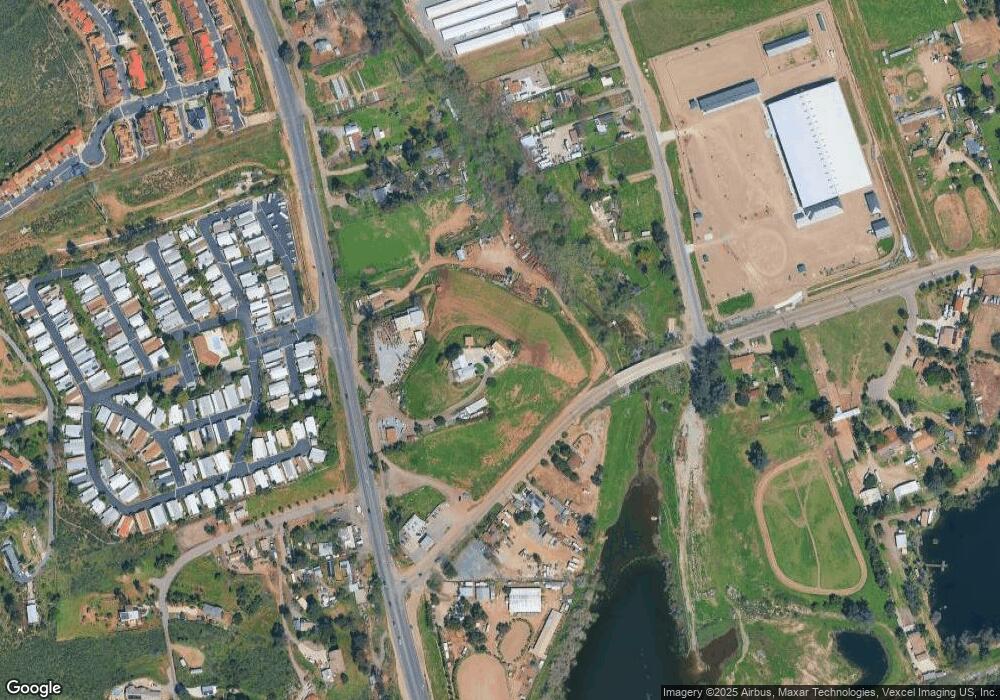
Map
Nearby Homes
- 10880 Highway 67 Unit SPC 74
- 10880 Highway 67 Unit 58
- 10906 Serena Ln
- 0 Baron Rd Unit PTP2600096
- 12212 Rockstream Rd
- 12049 Coping Place
- 11977 Demi Lee Ln
- 12553 Mapleview St Unit 8
- 12553 Mapleview St Unit 28
- 12923 Mapleview St Unit 6
- 12710 Laurel St Unit 113
- 12750 Laurel St Unit 510
- 12750 Laurel St Unit 504
- 12616 Lakeshore Dr Unit 3
- 12616 Lakeshore Dr Unit 1
- 11949 Riverside Dr Unit 133
- 11949 Riverside Dr Unit 184
- 11949 Riverside Dr Unit 176
- 11949 Riverside Dr Unit 28
- 11949 Riverside Dr Unit 135
- 0 Willow Rd Unit 82026426
- 10833 Highway 67
- 12403 Willow Rd
- 12355 Willow Rd
- 11949 Willow Rd Unit 29
- 11036 Moreno Ave
- 11101 Highway 67
- 12337 Willow Rd
- 12517 Willow Rd
- 11103 Highway 67
- 11054 Moreno Ave
- 11046 Moreno Ave
- 12307 Willow Rd
- 11105 Highway 67
- 12519 Willow Rd
- 11070 Moreno Ave
- 10830 Highway 67
- 11056 Moreno Ave
- 10806 Highway 67
- 12224 Kuhner Way
Your Personal Tour Guide
Ask me questions while you tour the home.