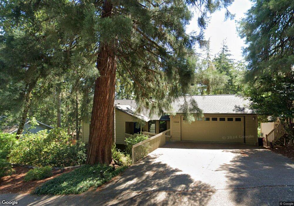
1089 Brookside Dr Eugene, OR 97405
Crest Drive NeighborhoodEstimated Value: $536,000 - $573,000
3
Beds
2
Baths
1,061
Sq Ft
$521/Sq Ft
Est. Value
About This Home
This home is located at 1089 Brookside Dr, Eugene, OR 97405 and is currently estimated at $552,530, approximately $520 per square foot. 1089 Brookside Dr is a home located in Lane County with nearby schools including Edgewood Community Elementary School, Spencer Butte Middle School, and South Eugene High School.
Ownership History
Date
Name
Owned For
Owner Type
Purchase Details
Closed on
Aug 20, 2003
Sold by
Winetrout Jerry Craig and Winetrout Michelle
Bought by
Wieseke Karl D and Wieseke Sue E
Current Estimated Value
Home Financials for this Owner
Home Financials are based on the most recent Mortgage that was taken out on this home.
Original Mortgage
$196,758
Outstanding Balance
$84,911
Interest Rate
5.46%
Mortgage Type
VA
Estimated Equity
$467,619
Purchase Details
Closed on
May 3, 1999
Sold by
Winetrout Jerry Craig and Winetrout Michelle
Bought by
Winetrout Jerry Craig and Winetrout Michelle
Home Financials for this Owner
Home Financials are based on the most recent Mortgage that was taken out on this home.
Original Mortgage
$123,200
Interest Rate
6.98%
Create a Home Valuation Report for This Property
The Home Valuation Report is an in-depth analysis detailing your home's value as well as a comparison with similar homes in the area
Home Values in the Area
Average Home Value in this Area
Purchase History
| Date | Buyer | Sale Price | Title Company |
|---|---|---|---|
| Wieseke Karl D | $192,900 | Western Pioneer Title Co | |
| Winetrout Jerry Craig | -- | Evergreen Land Title Co |
Source: Public Records
Mortgage History
| Date | Status | Borrower | Loan Amount |
|---|---|---|---|
| Open | Wieseke Karl D | $196,758 | |
| Previous Owner | Winetrout Jerry Craig | $123,200 |
Source: Public Records
Tax History
| Year | Tax Paid | Tax Assessment Tax Assessment Total Assessment is a certain percentage of the fair market value that is determined by local assessors to be the total taxable value of land and additions on the property. | Land | Improvement |
|---|---|---|---|---|
| 2025 | $5,434 | $278,885 | -- | -- |
| 2024 | $5,366 | $270,763 | -- | -- |
| 2023 | $5,366 | $262,877 | -- | -- |
| 2022 | $5,027 | $255,221 | $0 | $0 |
| 2021 | $4,722 | $247,788 | $0 | $0 |
| 2020 | $4,738 | $240,571 | $0 | $0 |
| 2019 | $4,576 | $233,565 | $0 | $0 |
| 2018 | $4,308 | $220,158 | $0 | $0 |
| 2017 | $4,115 | $220,158 | $0 | $0 |
| 2016 | $4,013 | $213,746 | $0 | $0 |
| 2015 | $3,897 | $207,520 | $0 | $0 |
| 2014 | $3,819 | $201,476 | $0 | $0 |
Source: Public Records
Map
Nearby Homes
- 0 Pine View Ct Unit 758820410
- 278 Rockridge Ct
- 653 Brookside Dr
- 21 Westbrook Way
- 17 Westbrook Way
- 422 Stonewood Dr Unit 422
- 36 Westbrook Way
- 418 Stonewood Dr Unit 418
- 152 Treehill Loop Unit 152
- 151 Treehill Loop Unit 151
- 143 Treehill Loop Unit 143
- 126 Treehill Loop Unit 126
- 223 Trailside Loop Unit 223
- 4040 Southpointe Dr
- 806 Sundance St
- 3854 Monroe St
- 320 Dellwood Dr
- 170 E 40th Ave
- 453 Dellwood Dr
- 357 W 37th Ave
- 1109 Brookside Dr
- 4380 Inwood Ln
- 4360 Inwood Ln
- 1143 Brookside Dr
- 1047 Brookside Dr
- 1090 Brookside Dr
- 1054 Brookside Dr
- 4420 Inwood Ln
- 4340 Inwood Ln
- 1116 Brookside Dr
- 4345 Inwood Ln
- 4460 Inwood Ln
- 1025 Brookside Dr
- 4320 Inwood Ln
- 4385 Inwood Ln
- 4315 Inwood Ln
- 4415 Inwood Ln
- 1128 Brookside Dr
- 1020 Brookside Dr
- 422 Brae Burn Dr
Your Personal Tour Guide
Ask me questions while you tour the home.