10891 Rognaldson Rd Brainerd, MN 56401
Estimated Value: $481,000 - $644,000
3
Beds
2
Baths
1,216
Sq Ft
$437/Sq Ft
Est. Value
About This Home
This home is located at 10891 Rognaldson Rd, Brainerd, MN 56401 and is currently estimated at $531,553, approximately $437 per square foot. 10891 Rognaldson Rd is a home located in Crow Wing County with nearby schools including Garfield Elementary School, Forestview Middle School, and Brainerd Senior High School.
Ownership History
Date
Name
Owned For
Owner Type
Purchase Details
Closed on
Jun 1, 2015
Sold by
Olson Lawerence J and Olson Sandra
Bought by
Rupp Jeffrey A and Rupp Mary B
Current Estimated Value
Purchase Details
Closed on
May 29, 2015
Sold by
Olson Lawrence Lawrence
Bought by
Rupp Jeffrey and Rupp Mary Beth
Purchase Details
Closed on
Jun 1, 2002
Sold by
Nelson Roger and Nelson Helen
Bought by
Olson Lawrence and Olson Sandra
Purchase Details
Closed on
May 1, 1998
Sold by
Macarthur David D
Bought by
Nelson Roger J and Nelson H
Create a Home Valuation Report for This Property
The Home Valuation Report is an in-depth analysis detailing your home's value as well as a comparison with similar homes in the area
Purchase History
| Date | Buyer | Sale Price | Title Company |
|---|---|---|---|
| Rupp Jeffrey A | $300,000 | -- | |
| Rupp Jeffrey | $300,000 | -- | |
| Olson Lawrence | $225,000 | -- | |
| Nelson Roger J | $113,900 | -- |
Source: Public Records
Tax History
| Year | Tax Paid | Tax Assessment Tax Assessment Total Assessment is a certain percentage of the fair market value that is determined by local assessors to be the total taxable value of land and additions on the property. | Land | Improvement |
|---|---|---|---|---|
| 2025 | $2,840 | $451,100 | $269,100 | $182,000 |
| 2024 | $2,840 | $436,400 | $264,300 | $172,100 |
| 2023 | $3,054 | $417,100 | $232,800 | $184,300 |
| 2022 | $2,698 | $433,900 | $244,700 | $189,200 |
| 2021 | $2,624 | $301,600 | $192,800 | $108,800 |
| 2020 | $2,476 | $279,200 | $176,100 | $103,100 |
| 2019 | $2,450 | $267,500 | $179,300 | $88,200 |
| 2018 | $2,100 | $264,000 | $179,300 | $84,700 |
| 2017 | $2,080 | $240,100 | $160,600 | $79,500 |
| 2016 | $2,068 | $209,600 | $141,500 | $68,100 |
| 2015 | $1,874 | $181,500 | $116,400 | $65,100 |
| 2014 | $900 | $182,100 | $116,400 | $65,700 |
Source: Public Records
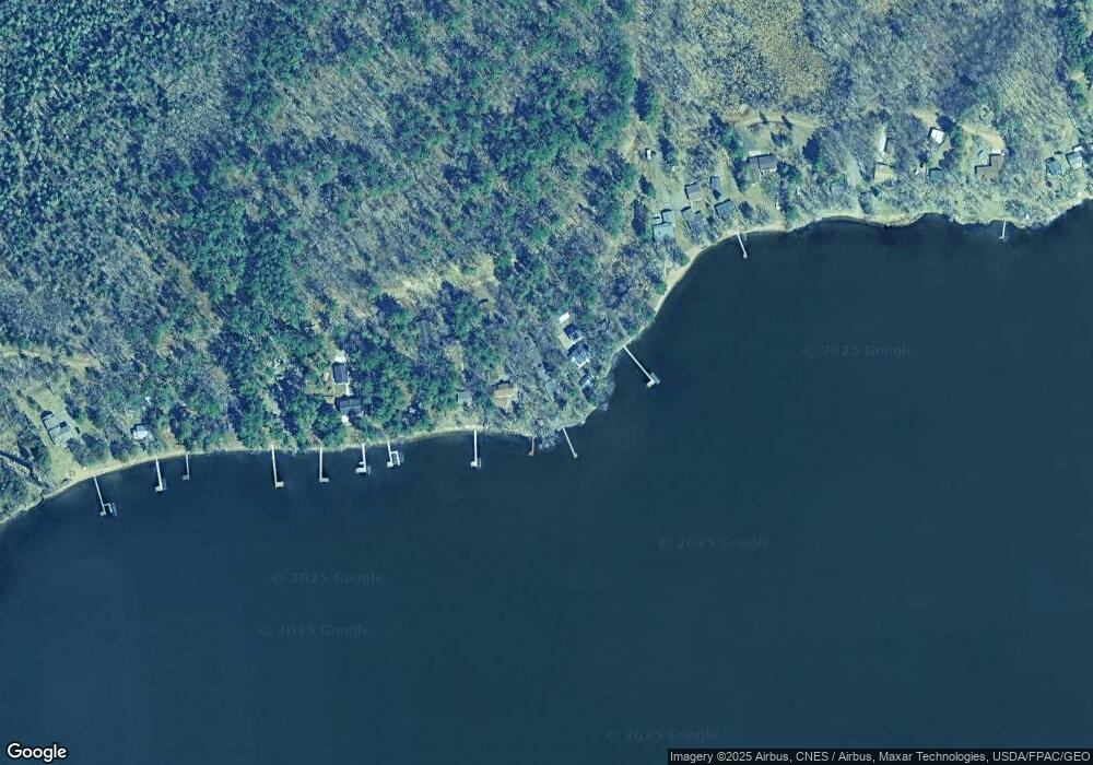
Map
Nearby Homes
- TBD Rognaldson Rd
- 10013 Cr-108
- 15419 Lake Ave
- 12084 County Road 144
- 12xxx County Road 8
- 14076 Trails End Ln
- LOT 7 BLK 2 Soder Rd
- TBD Riverside Dr
- Lot 3 BLK 2 Soder Rd
- Lot 10 Lindroth Dr
- XXX Crust Rd
- 12157 Butternut Rd SE
- 10038 County Road 8
- 12222 Three Mile Rd
- 13400 State Highway 18
- 14126 Oak Hollow Rd
- 0000 Meadowview Rd
- TBD Butternut Rd SE
- Tbd County Road 8
- Tbd County Road 8
- 10887 Rognaldson Rd
- 10865 Rognaldson Rd
- 10865 Rognaldson Rd
- 10901 Rognaldson Rd
- 10875 Rognaldson Rd
- 10851 Rognaldson Rd
- 10943 Rognaldson Rd
- 10845 Rognaldson Rd
- 17015 Pleasant Ln
- 10839 Rognaldson Rd
- 10827 Rognaldson Rd
- 17049 Pleasant Ln
- 17235 Pleasant Ln
- 10817 Rognaldson Rd
- 10799 Rognaldson Rd
- 10791 Rognaldson Rd
- Lot 18 Pleasant Ln
- 17119 Pleasant Ln
- 10777 Rognaldson Rd
- 0 Lot 17 Pleasant Ln Unit 3542380
Your Personal Tour Guide
Ask me questions while you tour the home.