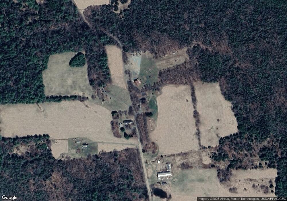
109 Atkins Rd Corinna, ME 04928
Estimated Value: $207,907 - $252,000
3
Beds
1
Bath
832
Sq Ft
$280/Sq Ft
Est. Value
About This Home
This home is located at 109 Atkins Rd, Corinna, ME 04928 and is currently estimated at $233,227, approximately $280 per square foot. 109 Atkins Rd is a home located in Penobscot County with nearby schools including Sebasticook Valley Elementary School and Nokomis Regional Middle School/High School.
Ownership History
Date
Name
Owned For
Owner Type
Purchase Details
Closed on
Jan 9, 2018
Sold by
Libby Wesley B and Libby Mildred
Bought by
Maine Electric Power Co
Current Estimated Value
Create a Home Valuation Report for This Property
The Home Valuation Report is an in-depth analysis detailing your home's value as well as a comparison with similar homes in the area
Home Values in the Area
Average Home Value in this Area
Purchase History
| Date | Buyer | Sale Price | Title Company |
|---|---|---|---|
| Maine Electric Power Co | -- | -- |
Source: Public Records
Tax History Compared to Growth
Tax History
| Year | Tax Paid | Tax Assessment Tax Assessment Total Assessment is a certain percentage of the fair market value that is determined by local assessors to be the total taxable value of land and additions on the property. | Land | Improvement |
|---|---|---|---|---|
| 2024 | $2,139 | $108,300 | $23,900 | $84,400 |
| 2023 | $2,114 | $108,300 | $23,900 | $84,400 |
| 2022 | $2,153 | $107,100 | $23,900 | $83,200 |
| 2021 | $2,153 | $107,100 | $23,900 | $83,200 |
| 2020 | $2,142 | $107,100 | $23,900 | $83,200 |
| 2019 | $2,062 | $107,100 | $23,900 | $83,200 |
| 2018 | $2,030 | $107,100 | $23,900 | $83,200 |
| 2017 | $1,971 | $107,100 | $23,900 | $83,200 |
| 2016 | $1,960 | $107,100 | $23,900 | $83,200 |
| 2015 | $1,906 | $107,100 | $23,900 | $83,200 |
| 2014 | $1,831 | $107,100 | $23,900 | $83,200 |
| 2013 | $1,821 | $107,100 | $23,900 | $83,200 |
Source: Public Records
Map
Nearby Homes