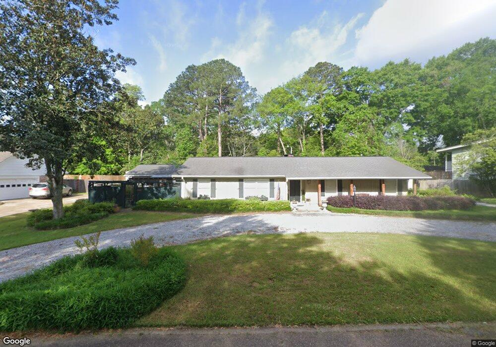
109 Dendron Dr Jackson, MS 39211
North Jackson NeighborhoodEstimated Value: $213,078 - $262,000
3
Beds
3
Baths
1,980
Sq Ft
$125/Sq Ft
Est. Value
About This Home
This home is located at 109 Dendron Dr, Jackson, MS 39211 and is currently estimated at $247,270, approximately $124 per square foot. 109 Dendron Dr is a home located in Hinds County with nearby schools including McLeod Elementary School, Murrah High School, and Revive Collegiate.
Ownership History
Date
Name
Owned For
Owner Type
Purchase Details
Closed on
Oct 23, 2017
Sold by
Dean Randy L and Dean Lenora H
Bought by
Peterson Audrey L
Current Estimated Value
Home Financials for this Owner
Home Financials are based on the most recent Mortgage that was taken out on this home.
Original Mortgage
$124,000
Outstanding Balance
$57,015
Interest Rate
3.83%
Mortgage Type
New Conventional
Estimated Equity
$190,255
Create a Home Valuation Report for This Property
The Home Valuation Report is an in-depth analysis detailing your home's value as well as a comparison with similar homes in the area
Home Values in the Area
Average Home Value in this Area
Purchase History
| Date | Buyer | Sale Price | Title Company |
|---|---|---|---|
| Peterson Audrey L | -- | -- |
Source: Public Records
Mortgage History
| Date | Status | Borrower | Loan Amount |
|---|---|---|---|
| Open | Peterson Audrey L | $124,000 |
Source: Public Records
Tax History
| Year | Tax Paid | Tax Assessment Tax Assessment Total Assessment is a certain percentage of the fair market value that is determined by local assessors to be the total taxable value of land and additions on the property. | Land | Improvement |
|---|---|---|---|---|
| 2025 | $920 | $12,503 | $3,375 | $9,128 |
| 2024 | $920 | $12,259 | $3,375 | $8,884 |
| 2023 | $920 | $12,259 | $3,375 | $8,884 |
| 2022 | $2,359 | $12,259 | $3,375 | $8,884 |
| 2021 | $916 | $12,259 | $3,375 | $8,884 |
| 2020 | $892 | $12,161 | $3,375 | $8,786 |
| 2019 | $892 | $12,161 | $3,375 | $8,786 |
| 2018 | $883 | $12,161 | $3,375 | $8,786 |
| 2017 | $1,943 | $12,161 | $3,375 | $8,786 |
| 2016 | $1,943 | $12,161 | $3,375 | $8,786 |
| 2015 | $1,865 | $12,094 | $3,375 | $8,719 |
| 2014 | $1,862 | $12,094 | $3,375 | $8,719 |
Source: Public Records
Map
Nearby Homes
- 144 Rollingwood Dr
- 445 Armour Dr
- 5320 Meadow Oaks Park Dr
- 5475 Old Canton Rd
- 5225 Sunnyvale Dr
- 5359 Reddoch Dr
- 1405 Riverwood Dr
- 5347 Reddoch Dr
- 5154 Sunnyvale Dr
- 5018 Riverwood Cir
- 5165 Shirlwood Dr
- 5376 Kaywood Dr
- 5205 Harrow Dr
- 5145 Canton Heights Dr
- 5235 Hialeah Dr
- 1940 Sheffield Dr
- 5125 Old Canton Rd Unit 201
- 908 Newland St
- 5276 Saratoga Dr
- 210 Valley Vista Dr
- 115 Dendron Dr
- 101 Dendron Dr
- 110 Poinciana Dr
- 118 Poinciana Dr
- 110 Dendron Dr
- 104 Poinciana Dr
- 102 Dendron Dr
- 123 Dendron Dr
- 116 Dendron Dr
- 126 Poinciana Dr
- 120 Rollingwood Dr
- 128 Rollingwood Dr
- 124 Dendron Dr
- 111 Poinciana Dr
- 131 Dendron Dr
- 103 Rollingwood Dr
- 119 Poinciana Dr
- 119 Yucca Dr
- 112 Rollingwood Dr
- 136 Rollingwood Dr
Your Personal Tour Guide
Ask me questions while you tour the home.