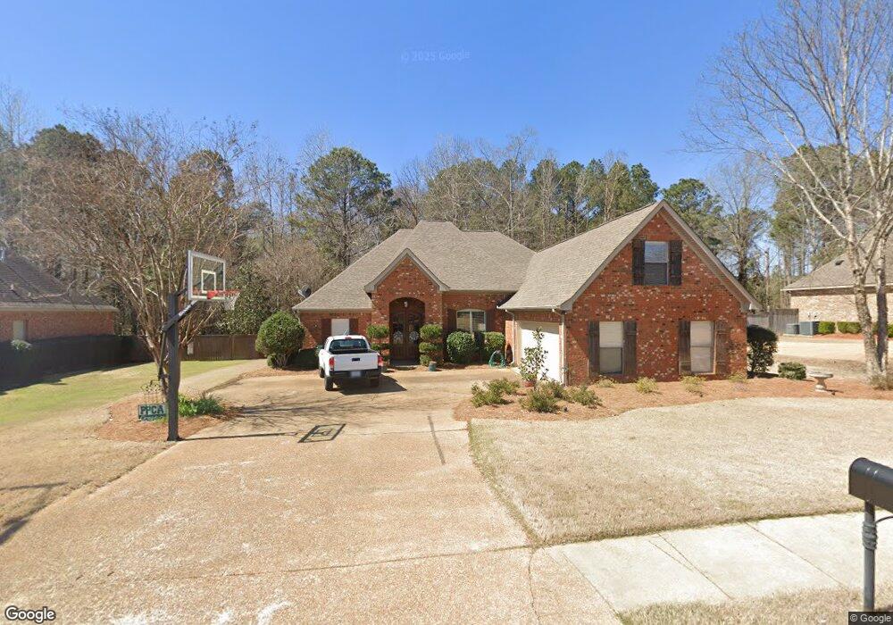
109 Faithway Brandon, MS 39042
Estimated Value: $397,790 - $437,000
5
Beds
4
Baths
2,686
Sq Ft
$157/Sq Ft
Est. Value
About This Home
This home is located at 109 Faithway, Brandon, MS 39042 and is currently estimated at $422,698, approximately $157 per square foot. 109 Faithway is a home located in Rankin County with nearby schools including McLaurin Elementary School.
Ownership History
Date
Name
Owned For
Owner Type
Purchase Details
Closed on
Apr 21, 2017
Sold by
Carver Charles E and Carver Debra S
Bought by
Holm Kenneth A and Holm Renee D
Current Estimated Value
Purchase Details
Closed on
Aug 4, 2009
Bought by
Rtc Properties Llc
Purchase Details
Closed on
Apr 18, 2007
Sold by
R & S Developers Llc
Bought by
Atm Construction Llc
Home Financials for this Owner
Home Financials are based on the most recent Mortgage that was taken out on this home.
Original Mortgage
$256,501
Interest Rate
6.1%
Create a Home Valuation Report for This Property
The Home Valuation Report is an in-depth analysis detailing your home's value as well as a comparison with similar homes in the area
Purchase History
| Date | Buyer | Sale Price | Title Company |
|---|---|---|---|
| Holm Kenneth A | -- | None Available | |
| Rtc Properties Llc | -- | -- | |
| Atm Construction Llc | -- | Luckett Land Title, Inc. |
Source: Public Records
Mortgage History
| Date | Status | Borrower | Loan Amount |
|---|---|---|---|
| Previous Owner | Atm Construction Llc | $256,501 |
Source: Public Records
Tax History
| Year | Tax Paid | Tax Assessment Tax Assessment Total Assessment is a certain percentage of the fair market value that is determined by local assessors to be the total taxable value of land and additions on the property. | Land | Improvement |
|---|---|---|---|---|
| 2025 | $3,615 | $29,579 | $0 | $0 |
| 2024 | $3,561 | $29,579 | $0 | $0 |
| 2023 | $3,346 | $27,934 | $0 | $0 |
| 2022 | $3,304 | $27,934 | $0 | $0 |
| 2021 | $3,304 | $27,934 | $0 | $0 |
| 2020 | $3,304 | $27,934 | $0 | $0 |
| 2019 | $2,962 | $24,748 | $0 | $0 |
| 2018 | $2,912 | $24,748 | $0 | $0 |
| 2017 | $2,912 | $24,748 | $0 | $0 |
| 2016 | $2,617 | $24,152 | $0 | $0 |
| 2015 | $2,617 | $24,152 | $0 | $0 |
| 2014 | $2,566 | $24,152 | $0 | $0 |
| 2013 | $2,566 | $24,152 | $0 | $0 |
Source: Public Records
Map
Nearby Homes
- 4016 Highway 18
- 4167 Highway 18
- 325 Stronghold Dr
- 217 New Haven Ln
- 308 Stronghold Dr
- 176 Will Stutely Dr
- 310 Stronghold Dr
- 306 Stronghold Dr
- 312 Stronghold Dr
- 305 Stronghold Dr
- 321 Stronghold Dr
- 1264 Shell Oil Rd
- 0 Will Stutely Dr
- 1178 Sanctuary Dr
- 1142 Sanctuary Dr
- 0 Joe Davis Dr
- 112 Sir Richard Rd
- 110 Sir Richard Rd
- 1392 Old Lake Rd
- 00 Hebron Hill Dr
- 104 Highway 18 Hwy Unit 4
- 104 Highway 18 Hwy
- 108 Faith Dr
- 123 Morrow Rd
- 110 Oasis Dr
- 3972 Highway 18
- 3916 Highway 18
- 3979 Highway 18
- 205 Faith Way
- 126 Morrow Rd
- 126 Morrow Rd
- 3994 Highway 18
- 301 Boler Estates Dr
- 0 Cannon Dr
- 210 Morrow Rd
- 830 Holly Ln Unit SAND
- 1151 Sanctuary Dr
- 1161 Sanctuary Dr
- 1159 Sanctuary Dr
- 1153 Sanctuary Dr
Your Personal Tour Guide
Ask me questions while you tour the home.