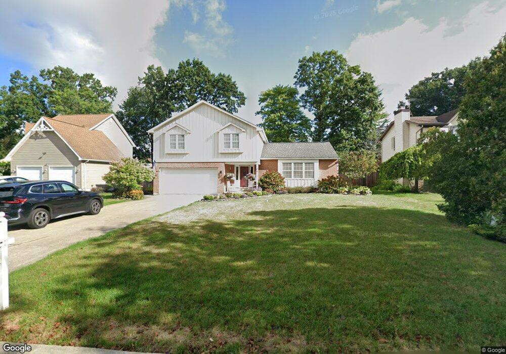
109 Independence Dr Lockport, NY 14094
Estimated Value: $283,000 - $347,000
4
Beds
3
Baths
1,765
Sq Ft
$181/Sq Ft
Est. Value
About This Home
This home is located at 109 Independence Dr, Lockport, NY 14094 and is currently estimated at $318,589, approximately $180 per square foot. 109 Independence Dr is a home located in Niagara County with nearby schools including Aaron Mossell Junior High School, Lockport High School, and DeSales Catholic School.
Ownership History
Date
Name
Owned For
Owner Type
Purchase Details
Closed on
Jun 16, 2000
Sold by
Muscato George V
Bought by
Secord Steven F
Current Estimated Value
Purchase Details
Closed on
May 28, 1999
Sold by
Bird John A and Bird Jacqueline A
Bought by
Muscato George V C
Create a Home Valuation Report for This Property
The Home Valuation Report is an in-depth analysis detailing your home's value as well as a comparison with similar homes in the area
Home Values in the Area
Average Home Value in this Area
Purchase History
| Date | Buyer | Sale Price | Title Company |
|---|---|---|---|
| Secord Steven F | $132,000 | George Muscato | |
| Muscato George V C | $125,000 | -- | |
| Muscato George V C | -- | Muscato George |
Source: Public Records
Tax History Compared to Growth
Tax History
| Year | Tax Paid | Tax Assessment Tax Assessment Total Assessment is a certain percentage of the fair market value that is determined by local assessors to be the total taxable value of land and additions on the property. | Land | Improvement |
|---|---|---|---|---|
| 2024 | $6,659 | $245,000 | $19,500 | $225,500 |
| 2023 | $6,710 | $240,000 | $19,500 | $220,500 |
| 2022 | $4,816 | $220,000 | $19,500 | $200,500 |
| 2021 | $5,084 | $144,800 | $19,300 | $125,500 |
| 2020 | $4,889 | $144,800 | $19,300 | $125,500 |
| 2019 | $1,252 | $144,800 | $19,300 | $125,500 |
| 2018 | $3,323 | $144,800 | $19,300 | $125,500 |
| 2017 | $3,287 | $144,800 | $19,300 | $125,500 |
| 2016 | $3,132 | $144,800 | $19,300 | $125,500 |
| 2015 | -- | $144,800 | $19,300 | $125,500 |
| 2014 | -- | $144,800 | $19,300 | $125,500 |
Source: Public Records
Map
Nearby Homes
- 27 Independence Dr
- 105 Obrien Dr
- 151 Independence Dr
- 206 Continental Dr
- 178 Continental Dr
- 40 Georgia Ave
- 76 Elizabeth Dr
- 869 Lincoln Ave
- 20 Park Lane Cir
- 5451 Carleton Lake Dr
- 6801A Mulberry Ln Unit B
- 6773 Akron Rd
- 546 High St
- 89 Park Lane Cir
- 105 Park Lane Cir
- 144 Grant St
- 6685 Curtis Ct
- 120 Park Lane Cir
- 76 Morrow Ave
- Patio A Plan at Lockhaven Estates
- 115 Independence Dr
- 100 Obrien Dr
- 121 Independence Dr
- 106 Obrien Dr
- 92 Obrien Dr
- 106 Independence Dr
- 125 Independence Dr
- 89 Independence Dr
- 112 Independence Dr
- 96 Independence Dr
- 112 Obrien Dr
- 84 Obrien Dr
- 118 Independence Dr
- 88 Independence Dr
- 131 Independence Dr
- 99 Obrien Dr
- 120 Obrien Dr
- 85 Independence Dr
- 91 Obrien Dr
- 40 Independence Dr