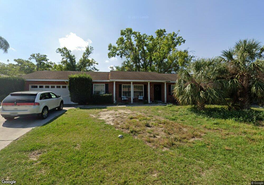
109 Mitchell Dr Unit 1 Brandon, FL 33511
Estimated Value: $319,730 - $366,000
4
Beds
2
Baths
2,232
Sq Ft
$155/Sq Ft
Est. Value
About This Home
This home is located at 109 Mitchell Dr Unit 1, Brandon, FL 33511 and is currently estimated at $345,433, approximately $154 per square foot. 109 Mitchell Dr Unit 1 is a home located in Hillsborough County with nearby schools including Brooker Elementary School, Burns Middle School, and Bloomingdale High School.
Ownership History
Date
Name
Owned For
Owner Type
Purchase Details
Closed on
Feb 27, 2004
Sold by
Booth Gwendolyn Faye
Bought by
Reed Jason D and Reed Lorri M
Current Estimated Value
Home Financials for this Owner
Home Financials are based on the most recent Mortgage that was taken out on this home.
Original Mortgage
$135,300
Interest Rate
5.63%
Mortgage Type
VA
Purchase Details
Closed on
Jan 14, 2003
Sold by
Booth Ronald Lee and Booth Gwendolyn Faye
Bought by
Booth Gwendolyn Faye
Home Financials for this Owner
Home Financials are based on the most recent Mortgage that was taken out on this home.
Original Mortgage
$106,250
Interest Rate
7.65%
Create a Home Valuation Report for This Property
The Home Valuation Report is an in-depth analysis detailing your home's value as well as a comparison with similar homes in the area
Home Values in the Area
Average Home Value in this Area
Purchase History
| Date | Buyer | Sale Price | Title Company |
|---|---|---|---|
| Reed Jason D | $131,000 | -- | |
| Booth Gwendolyn Faye | -- | Genesis Title Company |
Source: Public Records
Mortgage History
| Date | Status | Borrower | Loan Amount |
|---|---|---|---|
| Closed | Reed Jason D | $135,300 | |
| Previous Owner | Booth Gwendolyn Faye | $106,250 |
Source: Public Records
Tax History
| Year | Tax Paid | Tax Assessment Tax Assessment Total Assessment is a certain percentage of the fair market value that is determined by local assessors to be the total taxable value of land and additions on the property. | Land | Improvement |
|---|---|---|---|---|
| 2025 | $4,574 | $233,826 | $80,561 | $153,265 |
| 2024 | $4,574 | $230,352 | $74,807 | $155,545 |
| 2023 | $4,284 | $227,926 | $69,052 | $158,874 |
| 2022 | $4,040 | $237,007 | $69,052 | $167,955 |
| 2021 | $3,523 | $170,947 | $57,544 | $113,403 |
| 2020 | $3,286 | $160,076 | $47,761 | $112,315 |
| 2019 | $3,139 | $153,435 | $40,281 | $113,154 |
| 2018 | $2,948 | $142,672 | $0 | $0 |
| 2017 | $1,049 | $122,237 | $0 | $0 |
| 2016 | $1,019 | $79,607 | $0 | $0 |
| 2015 | $1,028 | $79,054 | $0 | $0 |
| 2014 | $1,004 | $78,427 | $0 | $0 |
| 2013 | -- | $77,268 | $0 | $0 |
Source: Public Records
Map
Nearby Homes
- 101 Kiana Dr
- 2456 Knight Island Dr
- 2510 Knight Island Dr
- 2310 Medford Ln
- 2303 Green Lawn St
- 502 Oakhurst St
- 110 W Brentridge Dr
- 602 Hickory Lake Dr
- 606 Bama Rd
- 614 Vintage Way
- 124 Barrington Dr
- 2608 Bellwood Dr
- 133 Barrington Dr
- 516 E Anglewood Dr
- 527 Julie Ln
- 142 Barrington Dr
- 1409 Bryan Rd
- 530 Julie Ln
- 515 E Brentridge Dr
- 1614 Berkshire Dr
Your Personal Tour Guide
Ask me questions while you tour the home.