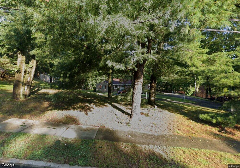
109 Stevenson Rd New Haven, CT 06515
Westville NeighborhoodEstimated Value: $632,000 - $700,000
3
Beds
3
Baths
3,076
Sq Ft
$216/Sq Ft
Est. Value
About This Home
This home is located at 109 Stevenson Rd, New Haven, CT 06515 and is currently estimated at $665,739, approximately $216 per square foot. 109 Stevenson Rd is a home located in New Haven County with nearby schools including Davis Academy for Arts & Design Innovation, Elm City Montessori School, and Hopkins School.
Ownership History
Date
Name
Owned For
Owner Type
Purchase Details
Closed on
Jun 27, 1997
Sold by
Bradley William O and Bradley Jessie G
Bought by
Joyner Ethel and Joyner Kevin
Current Estimated Value
Purchase Details
Closed on
Dec 16, 1993
Sold by
Bradley William O and Bradley Jessie G
Bought by
Parham James F and Parham Joan M
Create a Home Valuation Report for This Property
The Home Valuation Report is an in-depth analysis detailing your home's value as well as a comparison with similar homes in the area
Home Values in the Area
Average Home Value in this Area
Purchase History
| Date | Buyer | Sale Price | Title Company |
|---|---|---|---|
| Joyner Ethel | $120,000 | -- | |
| Parham James F | $175,000 | -- |
Source: Public Records
Mortgage History
| Date | Status | Borrower | Loan Amount |
|---|---|---|---|
| Closed | Parham James F | $110,000 | |
| Open | Parham James F | $287,138 | |
| Closed | Parham James F | $239,622 |
Source: Public Records
Tax History
| Year | Tax Paid | Tax Assessment Tax Assessment Total Assessment is a certain percentage of the fair market value that is determined by local assessors to be the total taxable value of land and additions on the property. | Land | Improvement |
|---|---|---|---|---|
| 2025 | $13,492 | $342,440 | $72,660 | $269,780 |
| 2024 | $13,184 | $342,440 | $72,660 | $269,780 |
| 2023 | $12,739 | $342,440 | $72,660 | $269,780 |
| 2022 | $13,612 | $342,440 | $72,660 | $269,780 |
| 2021 | $10,333 | $235,480 | $47,180 | $188,300 |
| 2020 | $10,333 | $235,480 | $47,180 | $188,300 |
| 2019 | $10,121 | $235,480 | $47,180 | $188,300 |
| 2018 | $10,121 | $235,480 | $47,180 | $188,300 |
| 2017 | $9,108 | $235,480 | $47,180 | $188,300 |
| 2016 | $9,208 | $221,620 | $49,000 | $172,620 |
| 2015 | $9,208 | $221,620 | $49,000 | $172,620 |
| 2014 | $9,208 | $221,620 | $49,000 | $172,620 |
Source: Public Records
Map
Nearby Homes
- 224 Ray Rd
- 70 Judwin Ave
- 125 Lowin Ave
- 362 Oliver Rd
- 51 Fountain Terrace
- 1 Long Hill Terrace
- 2095 Chapel St
- 21 Richmond Ave
- 56 Roger Rd
- 690 Forest Rd Unit 702
- 690 Forest Rd Unit 703
- 690 Forest Rd Unit 761
- 690 Forest Rd Unit 501
- 690 Forest Rd Unit 651
- 252 Alden Ave
- 159 Lawncrest Rd
- 55 Marvel Rd
- 119 Westwood Rd
- 107 Glen View Terrace
- 11 Priscilla Rd
- 95 Stevenson Rd
- 125 Stevenson Rd
- 170 Conrad Dr
- 110 Stevenson Rd
- 85 Stevenson Rd
- 100 Stevenson Rd
- 156 Conrad Dr
- 137 Stevenson Rd
- 130 Stevenson Rd
- 90 Stevenson Rd
- 71 Whittier Rd
- 75 Stevenson Rd
- 81 Whittier Rd
- 61 Whittier Rd
- 146 Conrad Dr
- 80 Stevenson Rd
- 51 Whittier Rd
- 140 Stevenson Rd
- 91 Whittier Rd
- 145 Stevenson Rd
Your Personal Tour Guide
Ask me questions while you tour the home.