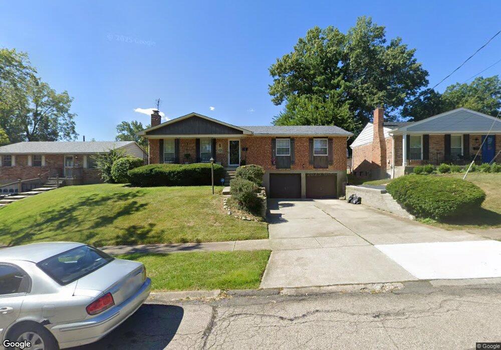
1091 Gracewind Ct Cincinnati, OH 45231
Finneytown NeighborhoodEstimated Value: $209,000 - $252,000
3
Beds
3
Baths
1,350
Sq Ft
$172/Sq Ft
Est. Value
About This Home
This home is located at 1091 Gracewind Ct, Cincinnati, OH 45231 and is currently estimated at $231,715, approximately $171 per square foot. 1091 Gracewind Ct is a home located in Hamilton County with nearby schools including Mt Healthy High School, John Paul II Catholic School, and Central Baptist Academy.
Ownership History
Date
Name
Owned For
Owner Type
Purchase Details
Closed on
Apr 27, 2000
Sold by
Grodzensky Judith A and Grodzensky Judith A
Bought by
Torain Jewerl D
Current Estimated Value
Home Financials for this Owner
Home Financials are based on the most recent Mortgage that was taken out on this home.
Original Mortgage
$110,443
Outstanding Balance
$38,430
Interest Rate
8.24%
Mortgage Type
FHA
Estimated Equity
$193,285
Create a Home Valuation Report for This Property
The Home Valuation Report is an in-depth analysis detailing your home's value as well as a comparison with similar homes in the area
Home Values in the Area
Average Home Value in this Area
Purchase History
| Date | Buyer | Sale Price | Title Company |
|---|---|---|---|
| Torain Jewerl D | $110,500 | -- |
Source: Public Records
Mortgage History
| Date | Status | Borrower | Loan Amount |
|---|---|---|---|
| Open | Torain Jewerl D | $110,443 |
Source: Public Records
Tax History Compared to Growth
Tax History
| Year | Tax Paid | Tax Assessment Tax Assessment Total Assessment is a certain percentage of the fair market value that is determined by local assessors to be the total taxable value of land and additions on the property. | Land | Improvement |
|---|---|---|---|---|
| 2024 | $2,585 | $54,902 | $5,821 | $49,081 |
| 2023 | $2,501 | $54,902 | $5,821 | $49,081 |
| 2022 | $2,309 | $39,155 | $4,890 | $34,265 |
| 2021 | $2,233 | $39,155 | $4,890 | $34,265 |
| 2020 | $2,285 | $39,155 | $4,890 | $34,265 |
| 2019 | $1,960 | $33,184 | $4,144 | $29,040 |
| 2018 | $1,971 | $33,184 | $4,144 | $29,040 |
| 2017 | $1,861 | $33,184 | $4,144 | $29,040 |
| 2016 | $1,843 | $32,708 | $4,498 | $28,210 |
| 2015 | $1,869 | $32,708 | $4,498 | $28,210 |
| 2014 | $2,554 | $32,708 | $4,498 | $28,210 |
| 2013 | $2,452 | $32,067 | $4,410 | $27,657 |
Source: Public Records
Map
Nearby Homes
- 1100 Gracewind Ct
- 8925 Monsanto Dr
- 1190 Sugartree Ct
- 8950 Daly Rd
- 8831 Daly Rd
- 8627 Mockingbird Ln
- 8622 Mockingbird Ln
- 8772 Balboa Dr
- 1013 Vacationland Dr
- 958 Hollytree Dr
- 954 Hollytree Dr
- 8840 Grenada Dr
- 1151 Hempstead Dr
- 8734 Grenada Dr
- 8491 Daly Rd
- 1029 Bluejay Dr
- 9413 Stoneybrooke
- 8433 Jonfred Ct
- 831 Compton Rd
- 8681 Desoto Dr
- 1087 Gracewind Ct
- 1095 Gracewind Ct
- 1094 Meadowind Ct
- 1090 Meadowind Ct
- 1098 Meadowind Ct
- 1092 Gracewind Ct
- 1083 Gracewind Ct
- 1086 Meadowind Ct
- 1096 Gracewind Ct
- 1080 Gracewind Ct
- 1088 Gracewind Ct
- 1084 Gracewind Ct
- 1082 Meadowind Ct
- 1105 Gracewind Ct
- 1102 Meadowind Ct
- 1104 Gracewind Ct
- 1078 Meadowind Ct
- 1093 Meadowind Ct
- 1089 Meadowind Ct
- 1097 Meadowind Ct