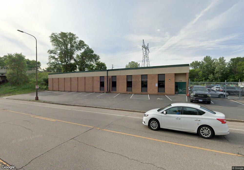
1091 Pierce Butler Route Saint Paul, MN 55104
Frogtown NeighborhoodEstimated Value: $817,899
--
Bed
--
Bath
13,264
Sq Ft
$62/Sq Ft
Est. Value
About This Home
This home is located at 1091 Pierce Butler Route, Saint Paul, MN 55104 and is currently estimated at $817,899, approximately $61 per square foot. 1091 Pierce Butler Route is a home located in Ramsey County with nearby schools including Como Park Elementary School, Murray Middle School, and Como Park Senior High School.
Ownership History
Date
Name
Owned For
Owner Type
Purchase Details
Closed on
May 16, 2014
Sold by
Jasaka Company
Bought by
1091 Pbr Llc
Current Estimated Value
Home Financials for this Owner
Home Financials are based on the most recent Mortgage that was taken out on this home.
Original Mortgage
$378,250
Interest Rate
4.2%
Create a Home Valuation Report for This Property
The Home Valuation Report is an in-depth analysis detailing your home's value as well as a comparison with similar homes in the area
Home Values in the Area
Average Home Value in this Area
Purchase History
| Date | Buyer | Sale Price | Title Company |
|---|---|---|---|
| 1091 Pbr Llc | $458,484 | Land Title Inc |
Source: Public Records
Mortgage History
| Date | Status | Borrower | Loan Amount |
|---|---|---|---|
| Closed | 1091 Pbr Llc | $378,250 |
Source: Public Records
Tax History Compared to Growth
Tax History
| Year | Tax Paid | Tax Assessment Tax Assessment Total Assessment is a certain percentage of the fair market value that is determined by local assessors to be the total taxable value of land and additions on the property. | Land | Improvement |
|---|---|---|---|---|
| 2025 | $41,650 | $1,201,200 | $167,200 | $1,034,000 |
| 2023 | $41,650 | $1,261,000 | $167,200 | $1,093,800 |
| 2022 | $27,908 | $836,300 | $167,200 | $669,100 |
| 2021 | $24,708 | $809,800 | $167,200 | $642,600 |
| 2020 | $20,332 | $729,100 | $167,200 | $561,900 |
| 2019 | $19,718 | $574,800 | $167,200 | $407,600 |
| 2018 | $18,090 | $546,700 | $167,200 | $379,500 |
| 2017 | $15,776 | $507,200 | $167,200 | $340,000 |
| 2016 | $16,234 | $0 | $0 | $0 |
| 2015 | $20,518 | $430,000 | $167,200 | $262,800 |
| 2014 | $24,770 | $0 | $0 | $0 |
Source: Public Records
Map
Nearby Homes
- 1030 Englewood Ave
- 999 Minnehaha Ave W
- 687 Lexington Pkwy N
- 951 Front Ave
- 1056 Lexington Pkwy N
- 1039 Argyle St
- 1282 Hewitt Ave
- 1294 Hubbard Ave
- 895 Front Ave
- 1174 Lafond Ave
- 1215 Lafond Ave
- 1083 Chatsworth St N
- 1094 Argyle St
- 1258 Blair Ave
- 989 Barrett St
- 1231 Thomas Ave
- 1125 Argyle St
- 1084 Ryde St
- 708 Hamline Ave N
- 1377 Hewitt Ave
- 830 Lexington Pkwy N
- 828 Lexington Pkwy N
- 1081 Hubbard Ave
- 814 Lexington Pkwy N
- 1075 Hubbard Ave
- 1069 Hubbard Ave
- 1097 Hubbard Ave
- 1063 Hubbard Ave
- 1057 Hubbard Ave
- 865 Oxford St N
- 1107 Hubbard Ave
- 1078 Burgess St
- 1053 Hubbard Ave
- 808 Lexington Pkwy N
- 1096 Burgess St
- 1113 Hubbard Ave
- 869 Oxford St N
- 804 Lexington Pkwy N
- 1047 Hubbard Ave
- 1119 Hubbard Ave