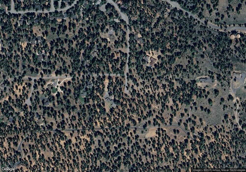
10916 Royal Crest Dr Truckee, CA 96161
Estimated Value: $1,370,000 - $1,884,244
2
Beds
3
Baths
3,356
Sq Ft
$502/Sq Ft
Est. Value
About This Home
This home is located at 10916 Royal Crest Dr, Truckee, CA 96161 and is currently estimated at $1,683,311, approximately $501 per square foot. 10916 Royal Crest Dr is a home with nearby schools including Glenshire Elementary School, Alder Creek Middle School, and Tahoe Truckee High School.
Ownership History
Date
Name
Owned For
Owner Type
Purchase Details
Closed on
Dec 24, 2012
Sold by
Lang Steven and Lang Monika
Bought by
Lang Marjorie
Current Estimated Value
Purchase Details
Closed on
Jun 13, 2008
Sold by
Landsberg Jennifer E
Bought by
Lang Steven and Lang Monika
Purchase Details
Closed on
May 22, 2008
Sold by
Huck Gary A
Bought by
Landsberg Jennifer E
Create a Home Valuation Report for This Property
The Home Valuation Report is an in-depth analysis detailing your home's value as well as a comparison with similar homes in the area
Home Values in the Area
Average Home Value in this Area
Purchase History
| Date | Buyer | Sale Price | Title Company |
|---|---|---|---|
| Lang Marjorie | -- | None Available | |
| Lang Steven | $1,400,000 | First American Title Co | |
| Landsberg Jennifer E | -- | First American Title Co |
Source: Public Records
Tax History Compared to Growth
Tax History
| Year | Tax Paid | Tax Assessment Tax Assessment Total Assessment is a certain percentage of the fair market value that is determined by local assessors to be the total taxable value of land and additions on the property. | Land | Improvement |
|---|---|---|---|---|
| 2025 | $12,405 | $1,022,073 | $160,079 | $861,994 |
| 2024 | $12,313 | $1,002,034 | $156,941 | $845,093 |
| 2023 | $12,313 | $982,387 | $153,864 | $828,523 |
| 2022 | $12,012 | $963,126 | $150,848 | $812,278 |
| 2021 | $11,526 | $944,242 | $147,891 | $796,351 |
| 2020 | $11,457 | $934,561 | $146,375 | $788,186 |
| 2019 | $11,481 | $916,237 | $143,505 | $772,732 |
| 2018 | $0 | $898,273 | $140,692 | $757,581 |
| 2017 | $10,613 | $880,661 | $137,934 | $742,727 |
| 2016 | $10,537 | $863,394 | $135,230 | $728,164 |
| 2015 | $10,237 | $850,426 | $133,199 | $717,227 |
| 2014 | $9,822 | $833,768 | $130,590 | $703,178 |
Source: Public Records
Map
Nearby Homes
- 10854 Royal Crest Dr
- 15106 Cavalier Rise
- 15198 Chatham Reach
- 10644 Codogan St
- 10577 Stuart Staithe
- 14567 Royal Way
- 15675 Donnington Ln
- 15375 Kent Dr
- 10332 Eton Place
- 14975 Donnington Ln
- 15556 Lois Ln
- 10318 Eton Place
- 15031 Glenshire Dr
- 11368 The Strand
- 10390 Manchester Dr
- 16029 Glenshire Dr
- 10554 Courtenay Ln
- 10729 Courtenay Ln
- 10718 Regency Cir
- 10794 Regency Cir
- 10760 Royal Crest
- 10760 Royal Crest Dr
- 15075 Court Jester
- 10982 Royal Crest Dr
- 15059 Court Jester
- 10836 Royal Crest Dr
- 15076 Court Jester Unit 3
- 10767 Royal Crest Unit 3
- 10739 Royal Crest
- 15058 Court Jester
- 10725 Royal Crest Dr
- 10879 Royal Crest Dr
- 10725 Royal Crest Unit 3
- 15011 Cavalier Rise
- 15029 Cavalier Rise
- 14995 Cavalier Rise
- 10682 Royal Crest
- 10682 Royal Crest Dr
- 10711 Royal Crest
- 10799 Royal Crest Dr
