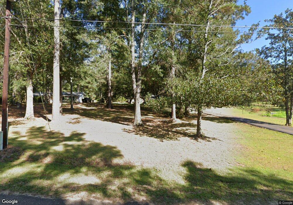
1092 Buck Cir Summit, MS 39666
Estimated Value: $115,589 - $175,000
3
Beds
2
Baths
1,567
Sq Ft
$93/Sq Ft
Est. Value
About This Home
This home is located at 1092 Buck Cir, Summit, MS 39666 and is currently estimated at $145,147, approximately $92 per square foot. 1092 Buck Cir is a home located in Pike County with nearby schools including Higgins Middle School, Otken Elementary School, and Denman Junior High School.
Ownership History
Date
Name
Owned For
Owner Type
Purchase Details
Closed on
Oct 29, 2008
Sold by
Baize Dossie and Baize Stacy Q
Bought by
Sexton David A and Sexton Janet A
Current Estimated Value
Home Financials for this Owner
Home Financials are based on the most recent Mortgage that was taken out on this home.
Original Mortgage
$125,100
Outstanding Balance
$80,204
Interest Rate
5.78%
Mortgage Type
New Conventional
Estimated Equity
$64,943
Purchase Details
Closed on
Oct 24, 2005
Sold by
Mosley Patrick L and Mosley Shannon P
Bought by
Harbour Stacy Q
Home Financials for this Owner
Home Financials are based on the most recent Mortgage that was taken out on this home.
Original Mortgage
$97,000
Interest Rate
5.66%
Mortgage Type
New Conventional
Create a Home Valuation Report for This Property
The Home Valuation Report is an in-depth analysis detailing your home's value as well as a comparison with similar homes in the area
Home Values in the Area
Average Home Value in this Area
Purchase History
| Date | Buyer | Sale Price | Title Company |
|---|---|---|---|
| Sexton David A | -- | None Available | |
| Harbour Stacy Q | -- | None Available |
Source: Public Records
Mortgage History
| Date | Status | Borrower | Loan Amount |
|---|---|---|---|
| Open | Sexton David A | $125,100 | |
| Previous Owner | Harbour Stacy Q | $97,000 |
Source: Public Records
Tax History
| Year | Tax Paid | Tax Assessment Tax Assessment Total Assessment is a certain percentage of the fair market value that is determined by local assessors to be the total taxable value of land and additions on the property. | Land | Improvement |
|---|---|---|---|---|
| 2025 | $330 | $11,204 | $0 | $0 |
| 2024 | $271 | $9,503 | $0 | $0 |
| 2023 | $267 | $9,503 | $0 | $0 |
| 2022 | $262 | $9,503 | $0 | $0 |
| 2021 | $261 | $9,503 | $0 | $0 |
| 2020 | $281 | $9,658 | $0 | $0 |
| 2019 | $273 | $9,658 | $0 | $0 |
| 2018 | $269 | $9,658 | $0 | $0 |
| 2017 | $272 | $9,658 | $0 | $0 |
| 2016 | $260 | $9,592 | $0 | $0 |
| 2015 | $232 | $9,378 | $0 | $0 |
| 2014 | $232 | $9,378 | $0 | $0 |
| 2013 | -- | $9,359 | $0 | $0 |
Source: Public Records
Map
Nearby Homes
- 0 Summit Holmesville Rd
- 1086 Mississippi 570
- XXX Brewer Ln
- 2113 Summit Holmesville Rd
- 1500 Robb St
- 0 Plum St
- 1306 Thomas St
- 311 Walnut St
- 122 Denwiddie Ave
- 1053 Johnston Station Rd
- 109 Grove Place
- 415 N Magnolia St
- 705 Chestnut St
- 212 Harmony St
- TBD Pointe Dr
- 108 Pointe Dr
- 111 Cedar Ridge Rd
- 900 N James Ave
- 213 Harmony St
- 1004 Hickory Ave
- 1094 Buck Cir
- 1082 Buck Cir
- 1104 Buck Cir
- 2051 Highway 570 E
- 2027 Mississippi 570
- 2027 Highway 570 E
- 1095 Buck Cir
- 1087 Buck Cir
- 2053 Hwy 570 Ea St
- 2053 Mississippi 570
- 1068 Beck St
- 2053 Highway 570 E
- 1114 Buck Cir
- 1077 Beck St
- 2021 Mississippi 570
- 2021 Highway 570 E
- 1182 Robb St
- 1190 Robb Street Extension E
- 2052 Highway 570 E
- 2015 Mississippi 570
