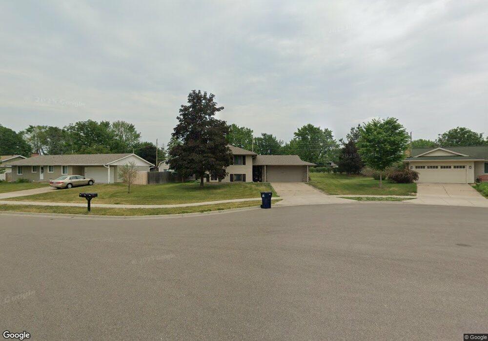
1092 Rome Ct Saint Paul, MN 55124
Old Town NeighborhoodEstimated Value: $337,000 - $366,000
4
Beds
2
Baths
1,398
Sq Ft
$247/Sq Ft
Est. Value
About This Home
This home is located at 1092 Rome Ct, Saint Paul, MN 55124 and is currently estimated at $345,382, approximately $247 per square foot. 1092 Rome Ct is a home located in Dakota County with nearby schools including Southview Elementary School, Valley Middle School, and Apple Valley Senior High School.
Ownership History
Date
Name
Owned For
Owner Type
Purchase Details
Closed on
Mar 22, 2022
Sold by
Pelant Charles and Pelant Jennnifer
Bought by
Rock Katrina
Current Estimated Value
Home Financials for this Owner
Home Financials are based on the most recent Mortgage that was taken out on this home.
Original Mortgage
$233,000
Outstanding Balance
$216,770
Interest Rate
3.55%
Mortgage Type
New Conventional
Estimated Equity
$128,612
Create a Home Valuation Report for This Property
The Home Valuation Report is an in-depth analysis detailing your home's value as well as a comparison with similar homes in the area
Home Values in the Area
Average Home Value in this Area
Purchase History
| Date | Buyer | Sale Price | Title Company |
|---|---|---|---|
| Rock Katrina | $233,000 | -- |
Source: Public Records
Mortgage History
| Date | Status | Borrower | Loan Amount |
|---|---|---|---|
| Open | Rock Katrina | $233,000 |
Source: Public Records
Tax History Compared to Growth
Tax History
| Year | Tax Paid | Tax Assessment Tax Assessment Total Assessment is a certain percentage of the fair market value that is determined by local assessors to be the total taxable value of land and additions on the property. | Land | Improvement |
|---|---|---|---|---|
| 2024 | $3,426 | $311,200 | $91,200 | $220,000 |
| 2023 | $3,426 | $309,400 | $91,400 | $218,000 |
| 2022 | $2,980 | $308,500 | $91,100 | $217,400 |
| 2021 | $2,830 | $266,200 | $79,200 | $187,000 |
| 2020 | $2,802 | $248,900 | $78,500 | $170,400 |
| 2019 | $2,456 | $239,900 | $74,700 | $165,200 |
| 2018 | $2,364 | $222,500 | $71,200 | $151,300 |
| 2017 | $2,348 | $206,800 | $67,800 | $139,000 |
| 2016 | $2,387 | $196,300 | $64,500 | $131,800 |
| 2015 | $2,292 | $177,599 | $57,037 | $120,562 |
| 2014 | -- | $171,713 | $54,640 | $117,073 |
| 2013 | -- | $156,562 | $49,663 | $106,899 |
Source: Public Records
Map
Nearby Homes
- 892 Redwell Ln
- 15813 Garden View Dr
- 1516 Rushmore Dr
- 15931 Hyland Pointe Ct
- 15964 Hyland Dr
- 249 Elm Dr
- 148 Spruce Dr
- 921 Cortland Dr S
- 15979 Harwell Ave
- 889 Whitney Dr
- 141 Strese Ln
- 1101 Lavon Ln
- 14709 White Oak Dr
- 841 Cortland Dr
- 14825 Haven Dr
- 16187 Hawthorn Path
- 8090 159th St W
- 15505 Logarto Ln
- 441 Walnut Ln
- 16125 Crystal Hills Dr