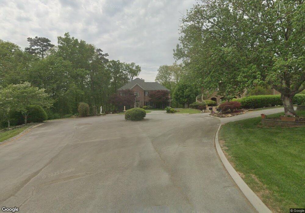
1092 St Ives Ct Morristown, TN 37814
Estimated Value: $647,273 - $1,228,000
--
Bed
4
Baths
6,466
Sq Ft
$134/Sq Ft
Est. Value
About This Home
This home is located at 1092 St Ives Ct, Morristown, TN 37814 and is currently estimated at $865,318, approximately $133 per square foot. 1092 St Ives Ct is a home located in Hamblen County with nearby schools including Manley Elementary School, West View Middle School, and Morristown West High School.
Ownership History
Date
Name
Owned For
Owner Type
Purchase Details
Closed on
Aug 22, 1995
Bought by
Zain Harry Beverly
Current Estimated Value
Purchase Details
Closed on
Mar 31, 1993
Bought by
Hovermale Richard D and Hovermale Edla T
Purchase Details
Closed on
Jun 27, 1990
Bought by
St Ives Developers
Purchase Details
Closed on
Jan 2, 1985
Bought by
Colonial Standard Ventures Inc
Create a Home Valuation Report for This Property
The Home Valuation Report is an in-depth analysis detailing your home's value as well as a comparison with similar homes in the area
Home Values in the Area
Average Home Value in this Area
Purchase History
| Date | Buyer | Sale Price | Title Company |
|---|---|---|---|
| Zain Harry Beverly | $428,000 | -- | |
| Zain Harry Beverly | $392,500 | -- | |
| Hovermale Richard D | $34,500 | -- | |
| St Ives Developers | $177,000 | -- | |
| Colonial Standard Ventures Inc | -- | -- |
Source: Public Records
Tax History Compared to Growth
Tax History
| Year | Tax Paid | Tax Assessment Tax Assessment Total Assessment is a certain percentage of the fair market value that is determined by local assessors to be the total taxable value of land and additions on the property. | Land | Improvement |
|---|---|---|---|---|
| 2024 | $2,506 | $142,400 | $12,525 | $129,875 |
| 2023 | $2,506 | $142,400 | $0 | $0 |
| 2022 | $4,500 | $142,400 | $12,525 | $129,875 |
| 2021 | $4,500 | $142,400 | $12,525 | $129,875 |
| 2020 | $4,494 | $142,400 | $12,525 | $129,875 |
| 2019 | $4,406 | $129,600 | $13,525 | $116,075 |
| 2018 | $4,082 | $129,600 | $13,525 | $116,075 |
| 2017 | $4,017 | $129,600 | $13,525 | $116,075 |
| 2016 | $3,836 | $129,600 | $13,525 | $116,075 |
| 2015 | $3,569 | $129,600 | $13,525 | $116,075 |
| 2014 | -- | $129,600 | $13,525 | $116,075 |
| 2013 | -- | $155,900 | $0 | $0 |
Source: Public Records
Map
Nearby Homes
- 1086 St Ives Ct
- 1101 Drinnon Dr
- 2978 Wilshire Blvd
- 3113 Wilshire Blvd
- 729 Amanda Harrison Ct
- 801 Colonial Dr
- 700 Drinnon Dr
- 3471 Walden Dr
- 3475 Walden Dr
- 3641 Meadowland Dr
- 3721 Meadowland Dr
- 725 Barton Dr
- 1736 Jellicorse Rd
- 837 Foxglove Ln
- 3245 Emerald Ave
- 1701 Old Oak Ln
- 3864 Apostle Rd
- 3415 Emerald Ave
- 0 Mcbride Rd
- 985 Kidwell Ridge Rd
- 1026 Drinnon Dr
- 1081 St Ives Ct
- 1022 Drinnon Dr
- 1078 St Ives Ct
- 1100 Drinnon Dr
- 1072 Colonial Dr
- 1054 Colonial Dr
- 1018 Drinnon Dr
- 1075 St Ives Ct
- 1027 Drinnon Dr
- 1070 St Ives Ct
- 1023 Drinnon Dr
- 1038 Colonial Dr
- 1105 Drinnon Dr
- 1108 Drinnon Dr
- 1109 Drinnon Dr
- 1014 Drinnon Dr
- 1065 St Ives Ct
- 1019 Drinnon Dr
- 1062 St Ives Ct