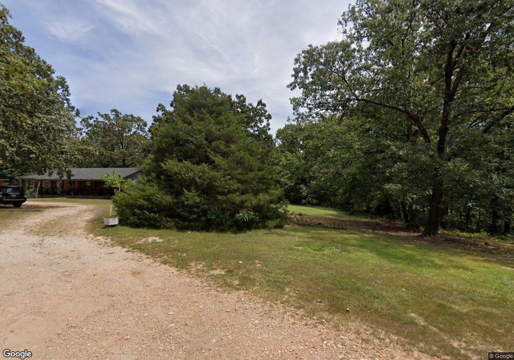
10924 Curtis Rd Gravette, AR 72736
Estimated Value: $85,000 - $531,000
--
Bed
2
Baths
1,776
Sq Ft
$183/Sq Ft
Est. Value
About This Home
This home is located at 10924 Curtis Rd, Gravette, AR 72736 and is currently estimated at $325,333, approximately $183 per square foot. 10924 Curtis Rd is a home located in Benton County with nearby schools including Glenn Duffy Elementary School, Gravette Upper Elementary School, and Gravette Middle School.
Ownership History
Date
Name
Owned For
Owner Type
Purchase Details
Closed on
Jan 30, 2024
Sold by
Loper Jimmy A and Loper Melva M
Bought by
Breceda Daniel Alonso Flore and Urrutia Ana Victoria
Current Estimated Value
Purchase Details
Closed on
Sep 24, 2004
Bought by
Duncan Duncan 3 and Duncan 01Ac
Purchase Details
Closed on
Sep 22, 2004
Bought by
Duncan Duncan 3 and Duncan 01Ac
Purchase Details
Closed on
Mar 25, 1992
Bought by
Loper
Purchase Details
Closed on
Apr 15, 1985
Bought by
Keeton
Purchase Details
Closed on
Apr 3, 1985
Bought by
Curtis
Purchase Details
Closed on
May 4, 1982
Bought by
Curtis
Create a Home Valuation Report for This Property
The Home Valuation Report is an in-depth analysis detailing your home's value as well as a comparison with similar homes in the area
Home Values in the Area
Average Home Value in this Area
Purchase History
| Date | Buyer | Sale Price | Title Company |
|---|---|---|---|
| Breceda Daniel Alonso Flore | $69,500 | None Listed On Document | |
| Duncan Duncan 3 | $94,000 | -- | |
| Duncan Duncan 3 | $94,000 | -- | |
| Loper | $54,000 | -- | |
| Keeton | $10,000 | -- | |
| Curtis | $13,000 | -- | |
| Curtis | $20,000 | -- |
Source: Public Records
Tax History Compared to Growth
Tax History
| Year | Tax Paid | Tax Assessment Tax Assessment Total Assessment is a certain percentage of the fair market value that is determined by local assessors to be the total taxable value of land and additions on the property. | Land | Improvement |
|---|---|---|---|---|
| 2025 | $1,357 | $60,645 | $6,844 | $53,801 |
| 2024 | $1,318 | $60,645 | $6,844 | $53,801 |
| 2023 | $1,321 | $42,640 | $4,350 | $38,290 |
| 2022 | $1,023 | $42,640 | $4,350 | $38,290 |
| 2021 | $1,018 | $42,640 | $4,350 | $38,290 |
| 2020 | $1,027 | $29,880 | $2,540 | $27,340 |
| 2019 | $1,027 | $29,880 | $2,540 | $27,340 |
| 2018 | $1,052 | $29,880 | $2,540 | $27,340 |
| 2017 | $977 | $29,880 | $2,540 | $27,340 |
| 2016 | $977 | $29,880 | $2,540 | $27,340 |
| 2015 | $1,425 | $32,160 | $1,890 | $30,270 |
| 2014 | $1,078 | $32,160 | $1,890 | $30,270 |
Source: Public Records
Map
Nearby Homes
- Tract 2 Curtis Rd
- 14450 Fruitwood Rd
- 11140 Old Charley Rd
- 10933 Ginny's Way
- 15798 Vesper Ln
- 15901 N Mount Olive Rd
- 10700 Old Charley Rd
- 10025 Bunch Cir
- 10101 Raindrop Ln
- 10107 Noah Rd
- 10370 Noah Rd
- 15262 Shipe Rd
- 15258 Shipe Rd
- 0 Shipe Rd Unit 1303432
- Lot A Shipe Rd
- Lot B Shipe Rd
- 0 Jace Cir
- 13925 Jace Cir
- 10169 Fishback Rd
- 10167 Fishback Rd
- 10924 Curtis Rd Unit tract 2
- 10966 Curtis Rd
- 11091 Curtis Rd
- 0 Curtis Rd
- 10768 Curtis Rd
- 15374 Parrick Rd
- 2.13AC Curtis Rd
- Tract 7C Curtis Rd
- TBD 4 AC MOL +/- Curtis Rd
- 14870 Parrick Rd
- 15170 Parrick Rd
- 15170 Parrick Rd
- 10840 Curtis Rd
- 10790 Curtis Rd
- 15183 Parrick Rd
- 15322 Parrick Rd
- 15344 Parrick Rd
- 7.01AC Parrick Rd
- 15040 Parrick Rd
- 10773 Curtis Rd