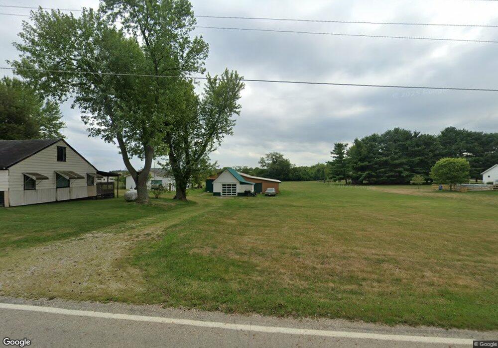
10940 Borror Rd Orient, OH 43146
Estimated Value: $138,000 - $201,000
1
Bed
1
Bath
784
Sq Ft
$230/Sq Ft
Est. Value
About This Home
This home is located at 10940 Borror Rd, Orient, OH 43146 and is currently estimated at $180,139, approximately $229 per square foot. 10940 Borror Rd is a home located in Pickaway County.
Ownership History
Date
Name
Owned For
Owner Type
Purchase Details
Closed on
Mar 12, 2025
Sold by
Ormiston Nathan and Ormiston Miranda
Bought by
Brookside Acres Llc
Current Estimated Value
Purchase Details
Closed on
Sep 26, 2024
Sold by
Collins Adam C and Collins Brittney
Bought by
Ormiston Nathan and Ormiston Miranda
Purchase Details
Closed on
Mar 9, 2022
Sold by
Chafin Paul E
Bought by
Collins Adam C
Purchase Details
Closed on
Nov 1, 1989
Create a Home Valuation Report for This Property
The Home Valuation Report is an in-depth analysis detailing your home's value as well as a comparison with similar homes in the area
Home Values in the Area
Average Home Value in this Area
Purchase History
| Date | Buyer | Sale Price | Title Company |
|---|---|---|---|
| Brookside Acres Llc | $195,000 | Valmer Land Title | |
| Brookside Acres Llc | $195,000 | Valmer Land Title | |
| Ormiston Nathan | $138,000 | Meymax Title Agency Of Ohio Ll | |
| Ormiston Nathan | $138,000 | Meymax Title Agency Of Ohio Ll | |
| Collins Adam C | -- | Cole Kirby & Associates Llc | |
| -- | $57,000 | -- |
Source: Public Records
Tax History
| Year | Tax Paid | Tax Assessment Tax Assessment Total Assessment is a certain percentage of the fair market value that is determined by local assessors to be the total taxable value of land and additions on the property. | Land | Improvement |
|---|---|---|---|---|
| 2025 | $2,643 | $51,220 | $23,790 | $27,430 |
| 2024 | $2,643 | $51,220 | $23,790 | $27,430 |
| 2023 | $1,977 | $51,220 | $23,790 | $27,430 |
| 2022 | $1,531 | $36,440 | $15,870 | $20,570 |
| 2021 | $1,535 | $36,440 | $15,870 | $20,570 |
| 2020 | $1,536 | $36,440 | $15,870 | $20,570 |
| 2019 | $1,283 | $31,900 | $15,120 | $16,780 |
| 2018 | $1,278 | $31,900 | $15,120 | $16,780 |
| 2017 | $1,312 | $31,900 | $15,120 | $16,780 |
| 2016 | $1,181 | $28,650 | $13,240 | $15,410 |
| 2015 | $1,182 | $28,650 | $13,240 | $15,410 |
| 2014 | $1,869 | $28,650 | $13,240 | $15,410 |
| 2013 | $1,913 | $28,730 | $13,240 | $15,490 |
Source: Public Records
Map
Nearby Homes
- 66 Genoa Cir
- 38 Waterman Ave
- 305 Cherry Hills Rd
- 282 Olympic Loop
- 24 Erin Hills Rd
- 290 Olympic Loop
- 358 Oakmont Dr
- 62 Chambers Bay Rd
- 277 Olympic Loop
- 298 Shady Hollow Dr
- 359 Oakmont Dr
- 304 Cherry Hills Rd
- 305 Olympic Loop
- 56 Chambers Bay Rd
- 507 Walker Pointe Dr
- 239 Peters Run Ct
- 472 Creekside Dr
- 502 Conley Dr
- 505 Conley Dr
- 513 Heidish Dr
- 10960 Borror Rd
- 74 Front St
- 10880 Borror Rd
- 11030 Borror Rd
- 304 Genoa Rd
- 64 Front St
- 305 Genoa Rd
- 410 Lockbay Rd
- 412 Lockbay Rd
- 412 Lockbay Rd
- 412 Lockbay Rd Unit Lot 4
- 409 Lockbay Rd
- 309 Genoa Rd
- 47 Genoa Cir
- 47 Genoa Cir Unit Lot 75
- 46 Genoa Cir
- 0 Genoa Cir Unit Lot 80 2828741
- 0 Genoa Cir Unit Lot 76 77 2828738
- 0 Genoa Cir Unit Lot 83 214025176
- 0 Genoa Cir Unit Lot 77 219041329
Your Personal Tour Guide
Ask me questions while you tour the home.