10941 Moffat Rd Temple, TX 76502
North Temple NeighborhoodEstimated Value: $569,000 - $700,000
Studio
2
Baths
3,164
Sq Ft
$200/Sq Ft
Est. Value
About This Home
This home is located at 10941 Moffat Rd, Temple, TX 76502 and is currently estimated at $634,382, approximately $200 per square foot. 10941 Moffat Rd is a home located in Bell County with nearby schools including High Point Elementary School, North Belton Middle, and Lake Belton H.S..
Ownership History
Date
Name
Owned For
Owner Type
Purchase Details
Closed on
Feb 9, 1998
Sold by
Spoonts Delydia
Bought by
Chesser Roger L
Current Estimated Value
Home Financials for this Owner
Home Financials are based on the most recent Mortgage that was taken out on this home.
Original Mortgage
$132,600
Outstanding Balance
$23,432
Interest Rate
6.98%
Mortgage Type
VA
Estimated Equity
$610,950
Create a Home Valuation Report for This Property
The Home Valuation Report is an in-depth analysis detailing your home's value as well as a comparison with similar homes in the area
Home Values in the Area
Average Home Value in this Area
Purchase History
| Date | Buyer | Sale Price | Title Company |
|---|---|---|---|
| Chesser Roger L | -- | Monteith Abstract & Title Co |
Source: Public Records
Mortgage History
| Date | Status | Borrower | Loan Amount |
|---|---|---|---|
| Open | Chesser Roger L | $132,600 |
Source: Public Records
Tax History
| Year | Tax Paid | Tax Assessment Tax Assessment Total Assessment is a certain percentage of the fair market value that is determined by local assessors to be the total taxable value of land and additions on the property. | Land | Improvement |
|---|---|---|---|---|
| 2025 | $10,640 | $502,561 | -- | -- |
| 2024 | $9,295 | $502,561 | -- | -- |
| 2023 | $10,488 | $456,912 | $0 | $0 |
| 2022 | $10,432 | $415,411 | $0 | $0 |
| 2021 | $10,949 | $472,350 | $92,797 | $379,553 |
| 2020 | $10,611 | $426,336 | $92,797 | $333,539 |
| 2019 | $10,221 | $348,132 | $83,797 | $301,218 |
| 2018 | $8,898 | $300,669 | $42,856 | $257,813 |
| 2017 | $8,312 | $299,204 | $42,856 | $256,348 |
| 2016 | $8,011 | $288,395 | $42,702 | $245,693 |
| 2014 | $6,986 | $281,158 | $0 | $0 |
Source: Public Records
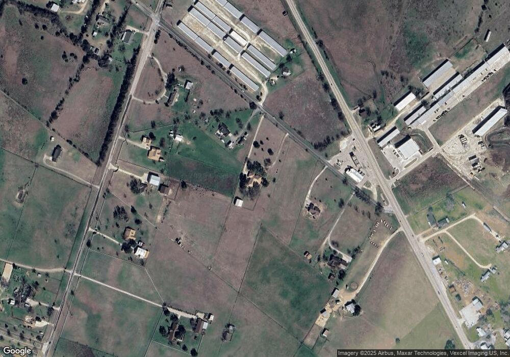
Map
Nearby Homes
- 5796 Cedar Ridge Park Rd
- 1292 Cedar Oaks Cir
- 1084 Frederick Ln
- 230 Sand Flat Ln
- 223 Sand Flat Ln
- 259 Sand Flat Ln
- 203 Sand Flat Ln
- 157 Metheglin Dr
- 101 Metheglin Dr
- 120 Metheglin Dr
- 4842 Nibling Ln
- 3 N Walnut Ct
- 103 Cottonwood Loop
- 7 S Bobcat Ct
- 10.15 AC Fm 2409 Rd
- 53 Buttercup Loop
- 49 Buttercup Loop
- 6340 Water Supply Rd
- 13155 Harbor Dr
- 13618 Corsia Dr
- 10825 Moffat Rd
- 10975 Moffat Rd
- 10755 Moffat Rd
- 10770 & 10776 W State Highway 36
- 10790 W State Highway 36
- -TBD- Hwy 36
- 5597 Cedar Ridge Park Rd
- 5681 Cedar Ridge Park Rd
- 5555 Cedar Ridge Park Rd
- 10712 W State Highway 36
- 11297 Moffat Rd
- 5242 Cedar Ridge Park Rd
- 11339 Moffat Rd
- 11401 Moffat Rd
- Moffat Road Moffat Rd
- 5100 Cedar Ridge Park Rd
- 000 Farm To Market Road 2409
- 2020 Allena Ln
- 1375 Cedar Oaks Cir
- 1347 Cedar Oaks Cir
Your Personal Tour Guide
Ask me questions while you tour the home.