1095 Latham Ln Tignall, GA 30668
Estimated Value: $158,303 - $246,000
3
Beds
1
Bath
1,056
Sq Ft
$189/Sq Ft
Est. Value
About This Home
This home is located at 1095 Latham Ln, Tignall, GA 30668 and is currently estimated at $199,576, approximately $188 per square foot. 1095 Latham Ln is a home with nearby schools including Lincoln County Elementary School, Lincoln County Middle School, and Lincoln County High School.
Ownership History
Date
Name
Owned For
Owner Type
Purchase Details
Closed on
Jul 27, 2023
Sold by
Burns Linda Ann
Bought by
Warr Judson Waldon
Current Estimated Value
Purchase Details
Closed on
Mar 18, 2022
Sold by
Burns Johnny M
Bought by
Burns Linda Ann
Purchase Details
Closed on
Aug 31, 2018
Sold by
Barnes Larry H
Bought by
Burns Johnny and Burns Linda
Purchase Details
Closed on
Dec 9, 2016
Sold by
Judy B
Bought by
Roberson Sandra B
Purchase Details
Closed on
Jan 9, 2008
Sold by
Barnes Arthur W
Bought by
Barnes Larry H and Roberson Sandra B
Purchase Details
Closed on
Aug 1, 1961
Sold by
Usa
Bought by
Barnes A W
Create a Home Valuation Report for This Property
The Home Valuation Report is an in-depth analysis detailing your home's value as well as a comparison with similar homes in the area
Home Values in the Area
Average Home Value in this Area
Purchase History
| Date | Buyer | Sale Price | Title Company |
|---|---|---|---|
| Warr Judson Waldon | -- | -- | |
| Warr Judson Waldon | $75,000 | -- | |
| Burns Linda Ann | -- | -- | |
| Burns Johnny | $110,000 | -- | |
| Roberson Sandra B | $20,000 | -- | |
| Barnes Larry H | -- | -- | |
| Barnes A W | $600 | -- |
Source: Public Records
Tax History Compared to Growth
Tax History
| Year | Tax Paid | Tax Assessment Tax Assessment Total Assessment is a certain percentage of the fair market value that is determined by local assessors to be the total taxable value of land and additions on the property. | Land | Improvement |
|---|---|---|---|---|
| 2025 | $936 | $38,380 | $37,300 | $1,080 |
| 2024 | $1,009 | $38,380 | $37,300 | $1,080 |
| 2023 | $1,009 | $38,380 | $37,300 | $1,080 |
| 2022 | $955 | $38,380 | $37,300 | $1,080 |
| 2021 | $1,053 | $38,260 | $37,300 | $960 |
| 2020 | $1,229 | $38,260 | $37,300 | $960 |
| 2019 | $1,425 | $44,160 | $43,200 | $960 |
| 2018 | $1,388 | $44,160 | $43,200 | $960 |
| 2017 | $1,163 | $37,000 | $36,000 | $1,000 |
| 2016 | $1,153 | $4,640 | $0 | $4,640 |
| 2015 | -- | $37,000 | $36,000 | $1,000 |
| 2014 | -- | $41,000 | $40,000 | $1,000 |
Source: Public Records
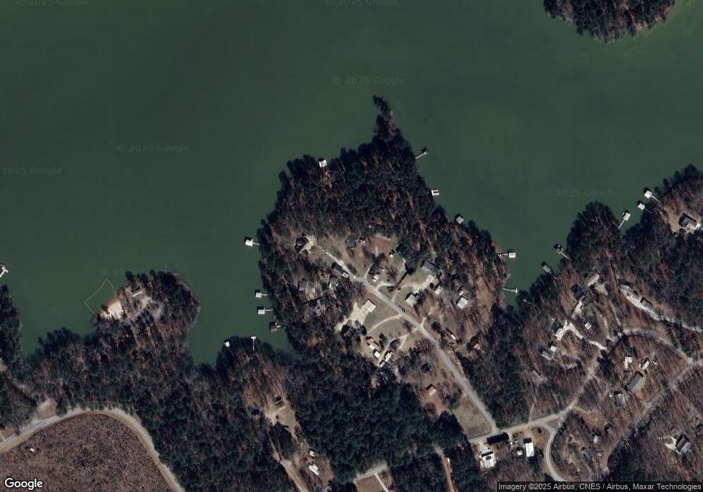
Map
Nearby Homes
- 1695 Buckhead Dr
- 1555 Treasure Cove
- 1584 Treasure Ln
- 1108 Sunset Cove
- 1192 Sunset Cove
- 1198 Sunset Cove
- 1126 Sunset Cove
- 1054 Pine Point Ln
- 11 Doe Run
- 1098 Chennault Dr
- 1078 Chennault Dr
- 1416 Rock Point Cove
- 1458 Rock Point Cove
- 1431 Rock Point Cove
- 29 Eagle Pointe
- 1105 Shore Dr
- 1117 Watersedge Cove
- 1135 Watersedge Cove
- 1147 Watersedge Cove
- 1153 Watersedge Cove
- 1091 Latham Ln
- 1100 Latham Ln
- 1081 Latham Ln
- 1094 Latham Ln
- 1090 Latham Ln
- 1069 Latham Ln
- 1080 Latham Ln
- 1068 Latham Ln Unit 16
- 1068 Latham Ln
- 1055 Latham Ln
- 1045 Latham Ln
- 1054 Latham Ln
- 1042 Latham Ln
- 1031 Latham Ln
- 1026 Latham Ln
- 1027 Parks Ln
- 1026 Parks Ln
- 00 Pistol Creek Rd
- LOT 36 Pistol Creek Rd
- 0 Pistol Creek Rd Unit 250342