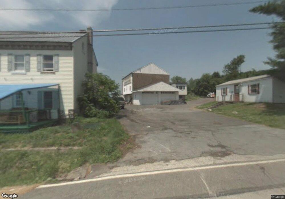
1097 State St Pottstown, PA 19464
Estimated Value: $160,000 - $420,000
2
Beds
1
Bath
1,632
Sq Ft
$178/Sq Ft
Est. Value
About This Home
This home is located at 1097 State St, Pottstown, PA 19464 and is currently estimated at $290,000, approximately $177 per square foot. 1097 State St is a home located in Montgomery County with nearby schools including Lower Pottsgrove Elementary School, Pottsgrove Middle School, and Pottsgrove Senior High School.
Ownership History
Date
Name
Owned For
Owner Type
Purchase Details
Closed on
Mar 7, 2005
Sold by
Not Provided
Bought by
Not Provided
Current Estimated Value
Home Financials for this Owner
Home Financials are based on the most recent Mortgage that was taken out on this home.
Original Mortgage
$240,000
Outstanding Balance
$121,915
Interest Rate
5.64%
Mortgage Type
Future Advance Clause Open End Mortgage
Estimated Equity
$168,085
Purchase Details
Closed on
Feb 22, 2005
Sold by
Not Provided
Bought by
Not Provided
Home Financials for this Owner
Home Financials are based on the most recent Mortgage that was taken out on this home.
Original Mortgage
$240,000
Outstanding Balance
$121,915
Interest Rate
5.64%
Mortgage Type
Future Advance Clause Open End Mortgage
Estimated Equity
$168,085
Create a Home Valuation Report for This Property
The Home Valuation Report is an in-depth analysis detailing your home's value as well as a comparison with similar homes in the area
Home Values in the Area
Average Home Value in this Area
Purchase History
| Date | Buyer | Sale Price | Title Company |
|---|---|---|---|
| Not Provided | $300,000 | -- | |
| Not Provided | $300,000 | -- |
Source: Public Records
Mortgage History
| Date | Status | Borrower | Loan Amount |
|---|---|---|---|
| Open | Not Provided | $240,000 | |
| Closed | Not Provided | $240,000 |
Source: Public Records
Tax History Compared to Growth
Tax History
| Year | Tax Paid | Tax Assessment Tax Assessment Total Assessment is a certain percentage of the fair market value that is determined by local assessors to be the total taxable value of land and additions on the property. | Land | Improvement |
|---|---|---|---|---|
| 2025 | $6,518 | $132,910 | -- | -- |
| 2024 | $6,518 | $132,910 | -- | -- |
| 2023 | $6,315 | $132,910 | $0 | $0 |
| 2022 | $8,562 | $182,960 | $0 | $0 |
| 2021 | $8,439 | $182,960 | $0 | $0 |
| 2020 | $8,407 | $182,960 | $0 | $0 |
| 2019 | $8,363 | $182,960 | $0 | $0 |
| 2018 | $1,421 | $180,960 | $119,130 | $61,830 |
| 2017 | $8,300 | $180,960 | $119,130 | $61,830 |
| 2016 | $8,229 | $180,960 | $119,130 | $61,830 |
| 2015 | $8,041 | $180,960 | $119,130 | $61,830 |
| 2014 | $8,041 | $180,960 | $119,130 | $61,830 |
Source: Public Records
Map
Nearby Homes
- 817 N State St
- 67 Steinmetz Rd
- 551 Upland St
- 559 Belmont St
- 666 Manatawny St
- 159 Stone Hill Dr
- 700 Farmington Ave Unit 40
- 1405 Old Glasgow St
- 646 Willow St
- 482 Manatawny St
- 1100 Levengood Rd
- 742 N Hanover St
- 443 Manatawny St
- 794 Spruce St
- 792 Spruce St
- 792-794 Spruce St
- 1026 Elmwood Dr
- 662 Spruce St
- 505 N Hanover St
- 279 Prospect St
- 1055 State St
- 1037 State St
- 1114 N State St
- 1127 State St
- 1131 N State St
- 1134 N State St
- 1131 State St Unit 6
- 1144 State St
- 350 Nagle Rd
- 1160 State St
- 1160 N State St
- 1169 N State St
- 1162 State St
- 1162 N State St
- 145 Juniper St
- 1176 State St
- 1170 State St
- 1183 State St
- 1170 N State St
- 1186 N State St