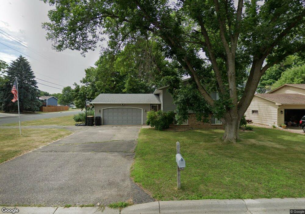
1098 Tyler St S Shakopee, MN 55379
Estimated Value: $379,000 - $392,000
4
Beds
2
Baths
1,100
Sq Ft
$350/Sq Ft
Est. Value
About This Home
This home is located at 1098 Tyler St S, Shakopee, MN 55379 and is currently estimated at $385,129, approximately $350 per square foot. 1098 Tyler St S is a home located in Scott County with nearby schools including Sweeney Elementary School, East Middle School, and Shakopee Senior High School.
Ownership History
Date
Name
Owned For
Owner Type
Purchase Details
Closed on
Dec 27, 2023
Sold by
Adams Matthew P
Bought by
Adams Matthew P and Matthew P Adams Trust
Current Estimated Value
Purchase Details
Closed on
Nov 11, 2009
Sold by
Harcey Ronald L and Harcey Donna R
Bought by
Adams Matthew P
Create a Home Valuation Report for This Property
The Home Valuation Report is an in-depth analysis detailing your home's value as well as a comparison with similar homes in the area
Home Values in the Area
Average Home Value in this Area
Purchase History
| Date | Buyer | Sale Price | Title Company |
|---|---|---|---|
| Adams Matthew P | -- | None Listed On Document | |
| Adams Matthew P | $215,000 | -- |
Source: Public Records
Tax History Compared to Growth
Tax History
| Year | Tax Paid | Tax Assessment Tax Assessment Total Assessment is a certain percentage of the fair market value that is determined by local assessors to be the total taxable value of land and additions on the property. | Land | Improvement |
|---|---|---|---|---|
| 2025 | $3,354 | $341,600 | $166,800 | $174,800 |
| 2024 | $3,350 | $331,800 | $162,000 | $169,800 |
| 2023 | $3,516 | $319,700 | $158,800 | $160,900 |
| 2022 | $3,308 | $329,400 | $158,800 | $170,600 |
| 2021 | $2,780 | $270,600 | $129,200 | $141,400 |
| 2020 | $2,936 | $252,000 | $110,600 | $141,400 |
| 2019 | $2,832 | $236,200 | $96,900 | $139,300 |
| 2018 | $3,114 | $0 | $0 | $0 |
| 2016 | $2,856 | $0 | $0 | $0 |
| 2014 | -- | $0 | $0 | $0 |
Source: Public Records
Map
Nearby Homes
- 2007 10th Ave W Unit 12
- 1813 6th Ave W
- 1187 Jackson St S
- 1226 Polk St S
- 1538 12th Ave W
- 1259 Taylor St Unit 3
- 2075 13th Ave W
- 1279 Taylor St Unit 5
- 1853 Stone Meadow Blvd
- 2224 Quarry Ln
- 1286 Jefferson Ct
- 2123 Agate Curve
- 1603 3rd Ave W
- 816 Regent Dr
- 1690 Windigo Ln
- 1121 Scott St S
- 348 Columbine Ln
- 696 Jutland Ave
- 1861 Attenborough St
- 508 Hackney Ave
- 1088 Tyler St S
- 1905 11th Ave W
- 1905 1905 11th-Avenue-w
- 1078 Tyler St S
- 1900 11th Ave W
- 1925 11th Ave W
- 1857 11th Ave W
- 1105 Polk St S
- 1087 Tyler St S
- 1068 Tyler St S
- 1128 Tyler St S
- 1077 Tyler St S
- 1107 Tyler St S
- 1113 Polk St S
- 1945 11th Ave W
- 1067 Tyler St S
- 1127 Tyler St S
- 1138 Tyler St S
- 1121 Polk St S
- 1096 Harrison St S