10991 Royal Crest Dr Truckee, CA 96161
Estimated Value: $1,145,000 - $1,259,676
--
Bed
--
Bath
2,024
Sq Ft
$594/Sq Ft
Est. Value
About This Home
This home is located at 10991 Royal Crest Dr, Truckee, CA 96161 and is currently estimated at $1,203,169, approximately $594 per square foot. 10991 Royal Crest Dr is a home located in Nevada County with nearby schools including Glenshire Elementary School, Alder Creek Middle School, and Tahoe Truckee High School.
Ownership History
Date
Name
Owned For
Owner Type
Purchase Details
Closed on
Feb 19, 2021
Sold by
White Robert E and White Catherine A
Bought by
White Robert E and White Catherine A
Current Estimated Value
Home Financials for this Owner
Home Financials are based on the most recent Mortgage that was taken out on this home.
Original Mortgage
$376,000
Outstanding Balance
$336,291
Interest Rate
2.7%
Mortgage Type
New Conventional
Estimated Equity
$866,878
Purchase Details
Closed on
Jul 19, 2004
Sold by
Tucker Dana D and Bruggeman Tucker Lori L
Bought by
White Robert E and White Catherine A
Home Financials for this Owner
Home Financials are based on the most recent Mortgage that was taken out on this home.
Original Mortgage
$85,000
Interest Rate
5.5%
Mortgage Type
Purchase Money Mortgage
Create a Home Valuation Report for This Property
The Home Valuation Report is an in-depth analysis detailing your home's value as well as a comparison with similar homes in the area
Home Values in the Area
Average Home Value in this Area
Purchase History
| Date | Buyer | Sale Price | Title Company |
|---|---|---|---|
| White Robert E | -- | Wfg National Title | |
| White Robert E | -- | Wfg National Title | |
| White Robert E | $245,000 | Placer Title Company |
Source: Public Records
Mortgage History
| Date | Status | Borrower | Loan Amount |
|---|---|---|---|
| Open | White Robert E | $376,000 | |
| Closed | White Robert E | $85,000 |
Source: Public Records
Tax History Compared to Growth
Tax History
| Year | Tax Paid | Tax Assessment Tax Assessment Total Assessment is a certain percentage of the fair market value that is determined by local assessors to be the total taxable value of land and additions on the property. | Land | Improvement |
|---|---|---|---|---|
| 2025 | $10,678 | $870,712 | $341,501 | $529,211 |
| 2024 | $10,585 | $853,640 | $334,805 | $518,835 |
| 2023 | $10,585 | $836,903 | $328,241 | $508,662 |
| 2022 | $10,311 | $820,494 | $321,805 | $498,689 |
| 2021 | $9,606 | $779,900 | $286,200 | $493,700 |
| 2020 | $8,531 | $678,200 | $248,900 | $429,300 |
| 2019 | $8,535 | $664,900 | $244,000 | $420,900 |
| 2018 | $0 | $645,600 | $236,930 | $408,670 |
| 2017 | $6,698 | $538,000 | $240,000 | $298,000 |
| 2016 | $6,313 | $498,000 | $222,000 | $276,000 |
| 2015 | $6,154 | $489,000 | $218,000 | $271,000 |
| 2014 | -- | $449,000 | $200,000 | $249,000 |
Source: Public Records
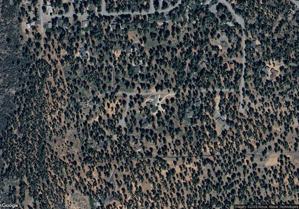
Map
Nearby Homes
- 10854 Royal Crest Dr
- 10644 Codogan St
- 10577 Stuart Staithe
- 14567 Royal Way
- 15106 Cavalier Rise
- 15198 Chatham Reach
- 15675 Donnington Ln
- 10332 Eton Place
- 10318 Eton Place
- 14975 Donnington Ln
- 15375 Kent Dr
- 15556 Lois Ln
- 15031 Glenshire Dr
- 11368 The Strand
- 13035 Glenshire Dr
- 000 Glenshire Dr
- 10390 Manchester Dr
- 16029 Glenshire Dr
- 10554 Courtenay Ln
- 10729 Courtenay Ln
- 11096 Royal Crest Dr
- 11011 Royal Crest Dr Unit Lot 6 Tucker Estates
- 11011 Royal Crest Dr
- 11011 Royal Crest Dr
- 10981 Royal Crest
- 11041 Royal Crest Dr
- 11104 Royal Crest Dr
- 10982 Royal Crest Dr
- 11021 Royal Crest Dr
- 11012 Royal Crest Dr
- 10915 Royal Crest
- 14943 Cavalier Rise
- 14961 Cavalier Rise
- 14907 Cavalier Rise
- 14925 Cavalier Rise
- 14889 Cavalier Rise
- 11020 Royal Crest Dr
- 14871 Cavalier Rise
- 14995 Cavalier Rise
- 14835 Cavalier Rise