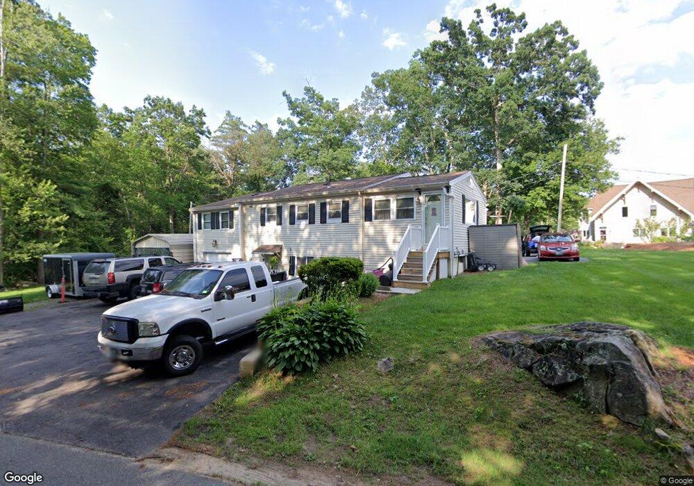
11 Alfred Dr Salem, NH 03079
Arlington Pond NeighborhoodEstimated Value: $483,000 - $635,000
2
Beds
3
Baths
1,314
Sq Ft
$415/Sq Ft
Est. Value
About This Home
This home is located at 11 Alfred Dr, Salem, NH 03079 and is currently estimated at $545,700, approximately $415 per square foot. 11 Alfred Dr is a home located in Rockingham County with nearby schools including North Salem Elementary School, Woodbury School, and Salem High School.
Ownership History
Date
Name
Owned For
Owner Type
Purchase Details
Closed on
Sep 28, 2005
Sold by
Davis Mark S and Davis Susan M
Bought by
Jordan Joyce
Current Estimated Value
Home Financials for this Owner
Home Financials are based on the most recent Mortgage that was taken out on this home.
Original Mortgage
$224,400
Interest Rate
5.84%
Mortgage Type
Purchase Money Mortgage
Purchase Details
Closed on
May 29, 2001
Sold by
Mariano Ronald J and Mariano Judith A
Bought by
Davis Mark S
Create a Home Valuation Report for This Property
The Home Valuation Report is an in-depth analysis detailing your home's value as well as a comparison with similar homes in the area
Home Values in the Area
Average Home Value in this Area
Purchase History
| Date | Buyer | Sale Price | Title Company |
|---|---|---|---|
| Jordan Joyce | $264,000 | -- | |
| Davis Mark S | $169,900 | -- |
Source: Public Records
Mortgage History
| Date | Status | Borrower | Loan Amount |
|---|---|---|---|
| Open | Jordan Joyce | $265,000 | |
| Closed | Jordan Joyce A | $29,000 | |
| Closed | Jordan Joyce | $235,000 | |
| Closed | Davis Mark S | $256,250 | |
| Closed | Davis Mark S | $260,000 | |
| Closed | Davis Mark S | $258,000 | |
| Closed | Davis Mark S | $224,400 |
Source: Public Records
Tax History Compared to Growth
Tax History
| Year | Tax Paid | Tax Assessment Tax Assessment Total Assessment is a certain percentage of the fair market value that is determined by local assessors to be the total taxable value of land and additions on the property. | Land | Improvement |
|---|---|---|---|---|
| 2024 | $6,436 | $365,700 | $137,300 | $228,400 |
| 2023 | $6,202 | $365,700 | $137,300 | $228,400 |
| 2022 | $5,869 | $365,700 | $137,300 | $228,400 |
| 2021 | $5,844 | $365,700 | $137,300 | $228,400 |
| 2020 | $5,430 | $246,600 | $98,000 | $148,600 |
| 2019 | $5,420 | $246,600 | $98,000 | $148,600 |
| 2018 | $5,329 | $246,600 | $98,000 | $148,600 |
| 2017 | $5,139 | $246,600 | $98,000 | $148,600 |
| 2016 | $5,038 | $246,600 | $98,000 | $148,600 |
| 2015 | $4,556 | $213,000 | $101,000 | $112,000 |
| 2014 | $4,428 | $213,000 | $101,000 | $112,000 |
| 2013 | $4,358 | $213,000 | $101,000 | $112,000 |
Source: Public Records
Map
Nearby Homes
- 22 Nolet Ave
- 187 N Main St
- 136 Shore Dr
- 28 Fox Run Ln
- 3 Roux Ave
- 82 Shore Dr
- 1 Hamilton Ln
- 3 Hamilton Ln
- 43 Shore Dr
- 10 Brook Hollow Dr
- 1 Cottonwood Ln
- 7 Longview Dr Unit 105
- 7 Longview Dr Unit 305
- Lincoln Plan at Atkinson Heights
- Kinsmen Plan at Atkinson Heights
- Jenness Plan at Atkinson Heights
- Hampton Plan at Atkinson Heights
- Massabesic Plan at Atkinson Heights
- Gloucester Plan at Atkinson Heights
- Berkshire Plan at Atkinson Heights