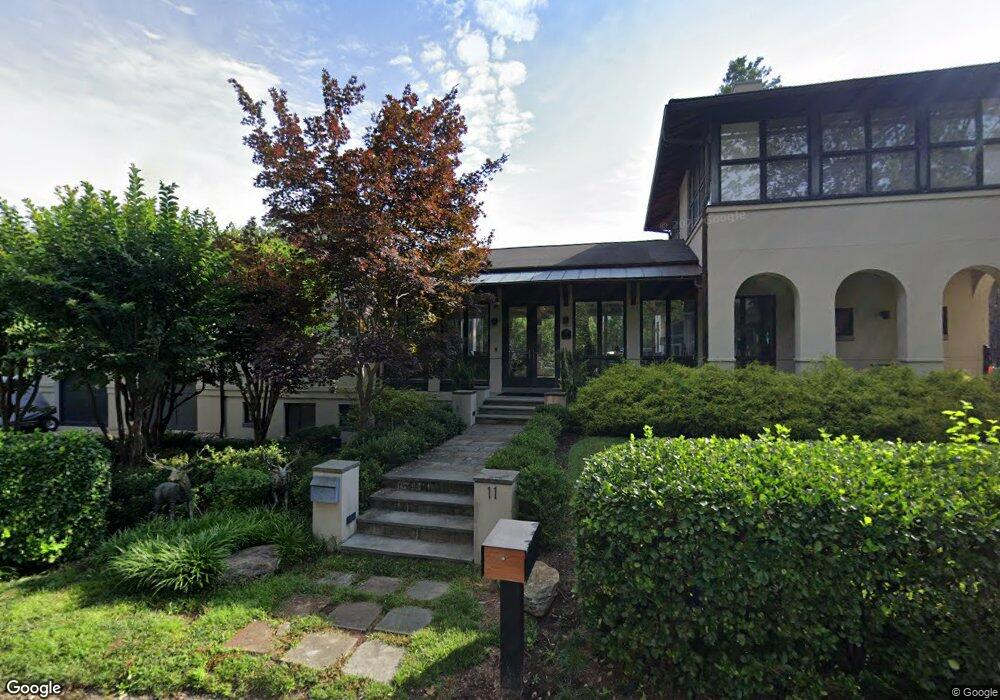
11 Barry Ave Annapolis, MD 21403
Estimated Value: $1,710,000 - $1,902,000
Studio
4
Baths
3,189
Sq Ft
$573/Sq Ft
Est. Value
About This Home
This home is located at 11 Barry Ave, Annapolis, MD 21403 and is currently estimated at $1,826,031, approximately $572 per square foot. 11 Barry Ave is a home located in Anne Arundel County with nearby schools including Georgetown East Elementary School, Annapolis Middle School, and Annapolis High School.
Ownership History
Date
Name
Owned For
Owner Type
Purchase Details
Closed on
May 21, 2018
Sold by
Shawffewr David D and Shawffewr Brenda E
Bought by
Cutting John M and Cutting Sierra C
Current Estimated Value
Home Financials for this Owner
Home Financials are based on the most recent Mortgage that was taken out on this home.
Original Mortgage
$1,192,500
Outstanding Balance
$1,026,071
Interest Rate
4.37%
Mortgage Type
Adjustable Rate Mortgage/ARM
Estimated Equity
$799,960
Purchase Details
Closed on
Jul 31, 2001
Sold by
Overmyer Dale O
Bought by
Shaeffer David D and Shaffer Brenda E
Purchase Details
Closed on
Nov 1, 2000
Sold by
Maggio Anthony J
Bought by
Overmyer Dale O
Create a Home Valuation Report for This Property
The Home Valuation Report is an in-depth analysis detailing your home's value as well as a comparison with similar homes in the area
Home Values in the Area
Average Home Value in this Area
Purchase History
| Date | Buyer | Sale Price | Title Company |
|---|---|---|---|
| Cutting John M | $1,325,000 | Old Republic Natl Title Ins | |
| Shaeffer David D | $290,000 | -- | |
| Overmyer Dale O | $445,000 | -- |
Source: Public Records
Mortgage History
| Date | Status | Borrower | Loan Amount |
|---|---|---|---|
| Open | Cutting John M | $1,192,500 | |
| Closed | Overmyer Dale O | -- |
Source: Public Records
Tax History
| Year | Tax Paid | Tax Assessment Tax Assessment Total Assessment is a certain percentage of the fair market value that is determined by local assessors to be the total taxable value of land and additions on the property. | Land | Improvement |
|---|---|---|---|---|
| 2025 | $14,777 | $1,315,933 | -- | -- |
| 2024 | $14,777 | $1,205,367 | $0 | $0 |
| 2023 | $13,361 | $1,094,800 | $664,200 | $430,600 |
| 2022 | $12,536 | $1,069,733 | $0 | $0 |
| 2020 | $11,905 | $1,019,600 | $514,200 | $505,400 |
| 2019 | $11,908 | $1,019,533 | $0 | $0 |
| 2018 | $10,337 | $1,019,467 | $0 | $0 |
| 2017 | $7,799 | $1,019,400 | $0 | $0 |
| 2016 | -- | $1,005,867 | $0 | $0 |
| 2015 | -- | $992,333 | $0 | $0 |
| 2014 | -- | $978,800 | $0 | $0 |
Source: Public Records
Map
Nearby Homes
- 3 Barry Ave
- 113 Bay Dr
- 90 E Lake Dr
- 48 E Lake Dr
- 45 E Lake Dr
- 1327 Bay Ave
- 1202 Chrisland Ct
- 3233 Chrisland Dr
- 3300 Shore Dr
- 1353 Washington Dr
- 2656A Queen Anne Cir
- 3365 Arundel on The Bay Rd
- 1031 Old Bay Ridge Rd
- 1217 Cross Rd
- 3268 Kitty Duvall Dr
- 2106 Chesapeake Harbour Dr Unit 202
- 1136 Lake Heron Dr
- 3123 Arundel on The Bay Rd
- 3123 Arundel On the Bay Road - Harrison Model
- 1221 Creek Dr
Your Personal Tour Guide
Ask me questions while you tour the home.