11 Brett Cir Pelham, NH 03076
Estimated Value: $644,624 - $754,000
3
Beds
2
Baths
2,148
Sq Ft
$323/Sq Ft
Est. Value
About This Home
This home is located at 11 Brett Cir, Pelham, NH 03076 and is currently estimated at $694,156, approximately $323 per square foot. 11 Brett Cir is a home with nearby schools including Pelham Elementary School, Pelham Memorial School, and Pelham High School.
Ownership History
Date
Name
Owned For
Owner Type
Purchase Details
Closed on
Feb 29, 2024
Sold by
Poff Michael F and Poff Pamela J
Bought by
Michael & Pamela Poff Lt and Poff
Current Estimated Value
Purchase Details
Closed on
Aug 22, 1997
Sold by
Dmg Land Holdings
Bought by
Poff Michael F and Poff Pamela J
Create a Home Valuation Report for This Property
The Home Valuation Report is an in-depth analysis detailing your home's value as well as a comparison with similar homes in the area
Home Values in the Area
Average Home Value in this Area
Purchase History
| Date | Buyer | Sale Price | Title Company |
|---|---|---|---|
| Michael & Pamela Poff Lt | -- | None Available | |
| Poff Michael F | $162,900 | -- |
Source: Public Records
Mortgage History
| Date | Status | Borrower | Loan Amount |
|---|---|---|---|
| Previous Owner | Poff Michael F | $118,000 | |
| Previous Owner | Poff Michael F | $100,000 | |
| Previous Owner | Poff Michael F | $143,000 | |
| Previous Owner | Poff Michael F | $45,000 |
Source: Public Records
Tax History Compared to Growth
Tax History
| Year | Tax Paid | Tax Assessment Tax Assessment Total Assessment is a certain percentage of the fair market value that is determined by local assessors to be the total taxable value of land and additions on the property. | Land | Improvement |
|---|---|---|---|---|
| 2024 | $8,741 | $476,600 | $160,700 | $315,900 |
| 2023 | $8,669 | $476,600 | $160,700 | $315,900 |
| 2022 | $8,302 | $476,600 | $160,700 | $315,900 |
| 2021 | $7,607 | $476,600 | $160,700 | $315,900 |
| 2020 | $7,276 | $360,200 | $128,700 | $231,500 |
| 2019 | $6,988 | $360,200 | $128,700 | $231,500 |
| 2018 | $7,071 | $329,500 | $128,700 | $200,800 |
| 2017 | $6,995 | $326,100 | $128,700 | $197,400 |
| 2016 | $6,832 | $326,100 | $128,700 | $197,400 |
| 2015 | $6,724 | $289,100 | $122,500 | $166,600 |
| 2014 | $6,612 | $289,100 | $122,500 | $166,600 |
| 2013 | $6,612 | $289,100 | $122,500 | $166,600 |
Source: Public Records
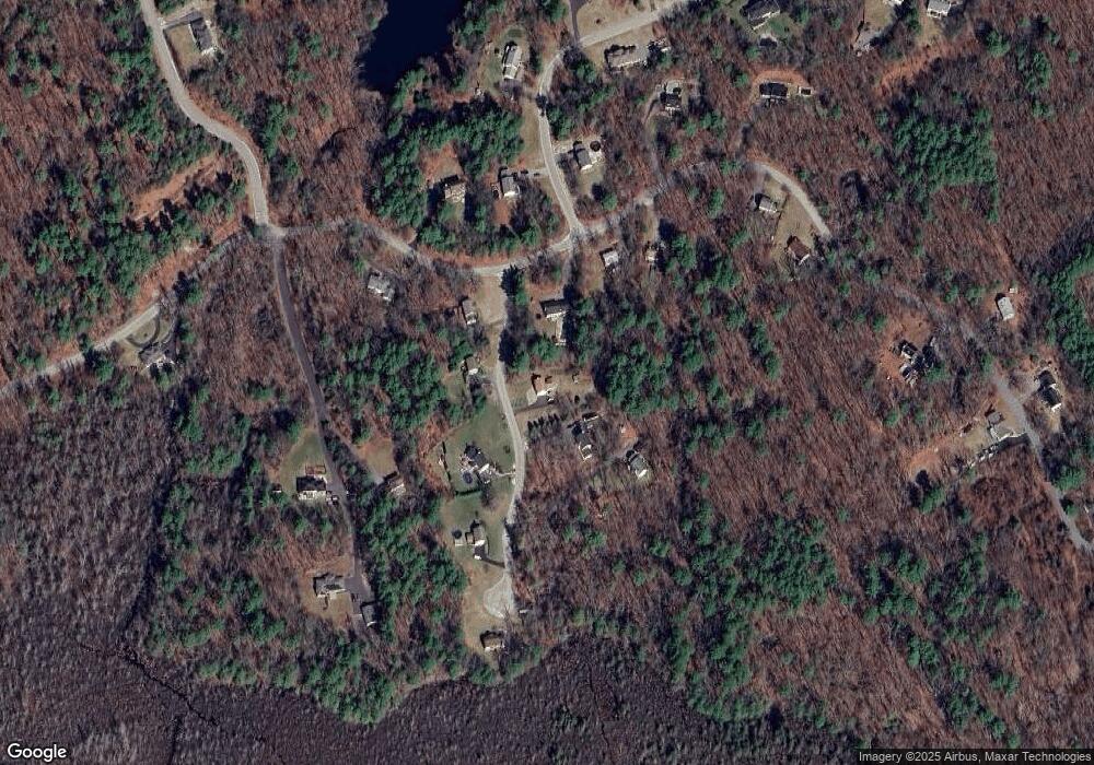
Map
Nearby Homes
- 280 & 290 Spring Rd
- 41A Ledge Rd
- 2 S Shore Dr
- 27 Wellesley Dr
- 351 Peters Pond Dr
- 128 West St
- 34 Frontier Dr
- Lot 4 Canterbury Rd Unit 4
- 50 & 51 Jane St
- 3 Kennedy Dr
- 5 Bailey Rd
- 96 Harris St
- 73 Myrtle St
- 0 Carmel Rd Unit 6
- 71 Deer Hill Cir
- 11 Surrey Ln
- 100 Salem Rd
- 7 Dadak Dr
- 26 Plower Rd Unit 6
- 6 Dadak Dr