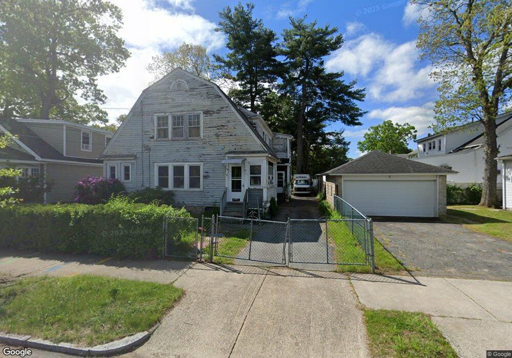
11 Dalton Place Unit 15 Springfield, MA 01109
Pine Point NeighborhoodEstimated Value: $250,461 - $377,000
4
Beds
2
Baths
2,158
Sq Ft
$155/Sq Ft
Est. Value
About This Home
This home is located at 11 Dalton Place Unit 15, Springfield, MA 01109 and is currently estimated at $333,615, approximately $154 per square foot. 11 Dalton Place Unit 15 is a home located in Hampden County with nearby schools including Hiram L. Dorman Elementary, John F. Kennedy Academy, and Springfield Central High School.
Ownership History
Date
Name
Owned For
Owner Type
Purchase Details
Closed on
Jan 26, 2018
Sold by
Adams Paul T Est
Bought by
Adams Paul M and Adams Darryl C
Current Estimated Value
Home Financials for this Owner
Home Financials are based on the most recent Mortgage that was taken out on this home.
Original Mortgage
$42,500
Outstanding Balance
$35,939
Interest Rate
3.93%
Mortgage Type
Credit Line Revolving
Estimated Equity
$297,676
Purchase Details
Closed on
May 28, 1992
Sold by
Paquette Linda M
Bought by
Adams Paul T
Home Financials for this Owner
Home Financials are based on the most recent Mortgage that was taken out on this home.
Original Mortgage
$76,000
Interest Rate
8.7%
Mortgage Type
Purchase Money Mortgage
Create a Home Valuation Report for This Property
The Home Valuation Report is an in-depth analysis detailing your home's value as well as a comparison with similar homes in the area
Home Values in the Area
Average Home Value in this Area
Purchase History
| Date | Buyer | Sale Price | Title Company |
|---|---|---|---|
| Adams Paul M | -- | -- | |
| Adams Paul T | $95,000 | -- |
Source: Public Records
Mortgage History
| Date | Status | Borrower | Loan Amount |
|---|---|---|---|
| Open | Adams Paul M | $42,500 | |
| Previous Owner | Adams Paul T | $5,000 | |
| Previous Owner | Adams Paul T | $76,000 |
Source: Public Records
Tax History Compared to Growth
Tax History
| Year | Tax Paid | Tax Assessment Tax Assessment Total Assessment is a certain percentage of the fair market value that is determined by local assessors to be the total taxable value of land and additions on the property. | Land | Improvement |
|---|---|---|---|---|
| 2025 | $3,125 | $199,300 | $39,000 | $160,300 |
| 2024 | $2,833 | $176,400 | $32,500 | $143,900 |
| 2023 | $2,841 | $166,600 | $29,500 | $137,100 |
| 2022 | $2,789 | $148,200 | $27,600 | $120,600 |
| 2021 | $2,620 | $138,600 | $25,100 | $113,500 |
| 2020 | $2,447 | $125,300 | $25,100 | $100,200 |
| 2019 | $2,573 | $140,300 | $25,100 | $115,200 |
| 2018 | $2,573 | $135,100 | $25,100 | $110,000 |
| 2017 | $2,573 | $135,100 | $23,200 | $111,900 |
| 2016 | $2,573 | $130,900 | $23,200 | $107,700 |
| 2015 | $2,376 | $120,800 | $23,200 | $97,600 |
Source: Public Records
Map
Nearby Homes
- 17 Dalton Place
- 131 Marsden St
- 125 Marsden St
- 94 Newhall St
- 119 Marsden St
- 90 Newhall St
- 141 Marsden St
- 115 Marsden St
- 14 Dalton Place
- 101 Newhall St
- 18 Dalton Place
- 0 Marsden St(ws) Unit 70715925
- 84 Newhall St
- 22 Dalton Place
- 91 Newhall St
- 145 Marsden St
- 111 Marsden St
- 28 Dalton Place
- 132 Marsden St
- 80 Newhall St