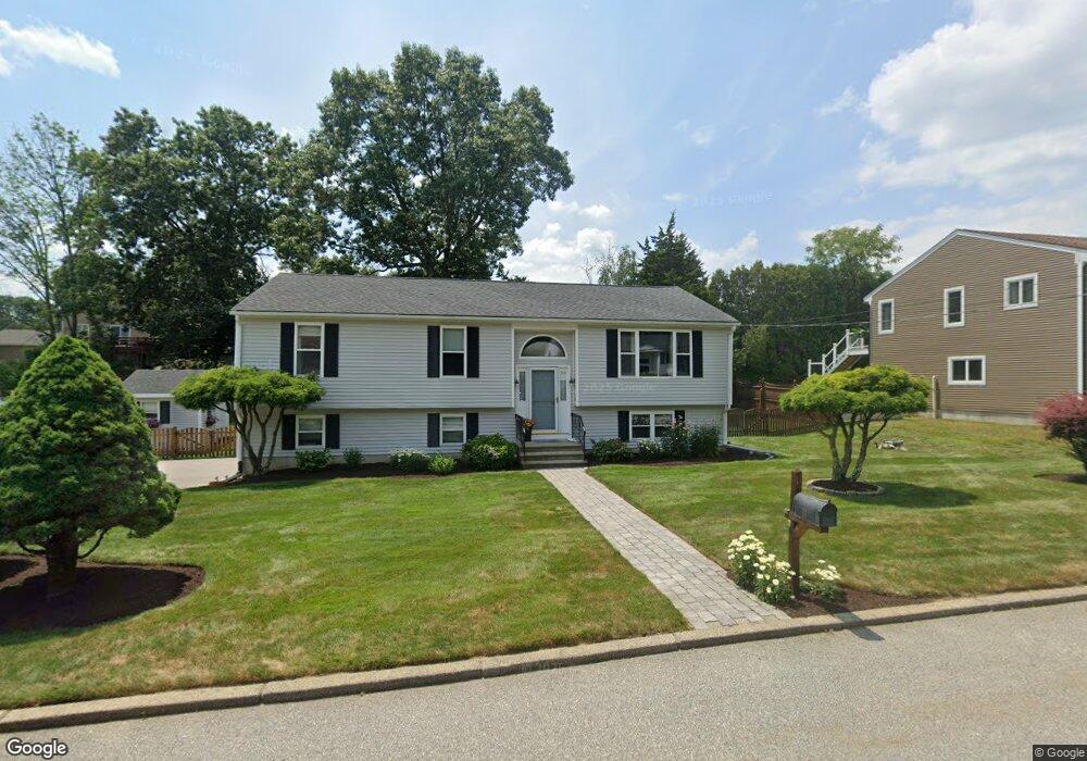
11 David Dr Lincoln, RI 02865
Lonsdale NeighborhoodEstimated Value: $539,000 - $644,000
3
Beds
3
Baths
1,593
Sq Ft
$371/Sq Ft
Est. Value
About This Home
This home is located at 11 David Dr, Lincoln, RI 02865 and is currently estimated at $590,741, approximately $370 per square foot. 11 David Dr is a home located in Providence County with nearby schools including Lincoln Senior High School, Blackstone Valley Prep Elementary School 1, and Blackstone Valley Prep Upper Elementary School.
Ownership History
Date
Name
Owned For
Owner Type
Purchase Details
Closed on
Dec 1, 1994
Sold by
Faucher Cyrias
Bought by
Sales Frank and Sales Suzanne
Current Estimated Value
Home Financials for this Owner
Home Financials are based on the most recent Mortgage that was taken out on this home.
Original Mortgage
$127,900
Interest Rate
8.81%
Mortgage Type
Purchase Money Mortgage
Create a Home Valuation Report for This Property
The Home Valuation Report is an in-depth analysis detailing your home's value as well as a comparison with similar homes in the area
Home Values in the Area
Average Home Value in this Area
Purchase History
| Date | Buyer | Sale Price | Title Company |
|---|---|---|---|
| Sales Frank | $160,000 | -- |
Source: Public Records
Mortgage History
| Date | Status | Borrower | Loan Amount |
|---|---|---|---|
| Open | Sales Frank | $186,000 | |
| Closed | Sales Frank | $100,000 | |
| Closed | Sales Frank | $115,000 | |
| Closed | Sales Frank | $127,900 |
Source: Public Records
Tax History Compared to Growth
Tax History
| Year | Tax Paid | Tax Assessment Tax Assessment Total Assessment is a certain percentage of the fair market value that is determined by local assessors to be the total taxable value of land and additions on the property. | Land | Improvement |
|---|---|---|---|---|
| 2025 | $7,495 | $554,400 | $182,500 | $371,900 |
| 2024 | $7,129 | $410,900 | $129,700 | $281,200 |
| 2023 | $6,776 | $410,900 | $129,700 | $281,200 |
| 2022 | $6,759 | $410,900 | $129,700 | $281,200 |
| 2021 | $7,213 | $355,500 | $102,200 | $253,300 |
| 2020 | $7,105 | $352,800 | $102,200 | $250,600 |
| 2018 | $7,063 | $316,000 | $112,400 | $203,600 |
| 2017 | $6,920 | $316,000 | $112,400 | $203,600 |
| 2016 | $6,826 | $316,000 | $112,400 | $203,600 |
| 2015 | $6,414 | $272,600 | $101,800 | $170,800 |
| 2014 | $6,425 | $272,600 | $101,800 | $170,800 |
Source: Public Records
Map
Nearby Homes
- 1 Mulberry Ln
- 1 Ashley Dr
- 6 Streamview Dr
- 2 Preserved Arnold Ct
- 500 Mendon Rd Unit 302
- 500 Mendon Rd Unit 216
- 500 Mendon Rd Unit 403
- 500 Mendon Rd Unit 105
- 1004 Great Rd
- 748 Lower River Rd
- 200 Old Mendon Rd
- 1 Cray St
- 7 A St
- 8 Lawrence St
- 0 Dexter Rock Lot 258 Rd Unit 1330874
- 207 Mendon Rd
- 4 Avenue E
- 9 Burwell St
- 1746 Lonsdale Ave Unit 10
- 73 Tucker St