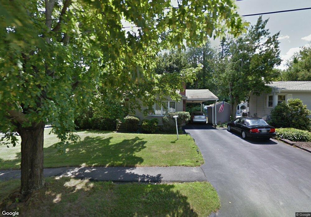
11 Deborah Rd Worcester, MA 01605
Forest Grove NeighborhoodEstimated Value: $394,000 - $414,977
3
Beds
2
Baths
1,110
Sq Ft
$362/Sq Ft
Est. Value
About This Home
This home is located at 11 Deborah Rd, Worcester, MA 01605 and is currently estimated at $401,994, approximately $362 per square foot. 11 Deborah Rd is a home located in Worcester County with nearby schools including Nelson Place Elementary School, Jacob Hiatt Magnet School, and Chandler Magnet.
Create a Home Valuation Report for This Property
The Home Valuation Report is an in-depth analysis detailing your home's value as well as a comparison with similar homes in the area
Home Values in the Area
Average Home Value in this Area
Tax History
| Year | Tax Paid | Tax Assessment Tax Assessment Total Assessment is a certain percentage of the fair market value that is determined by local assessors to be the total taxable value of land and additions on the property. | Land | Improvement |
|---|---|---|---|---|
| 2025 | $4,916 | $372,700 | $122,200 | $250,500 |
| 2024 | $4,818 | $350,400 | $122,200 | $228,200 |
| 2023 | $4,640 | $323,600 | $105,300 | $218,300 |
| 2022 | $4,113 | $270,400 | $84,200 | $186,200 |
| 2021 | $4,034 | $247,800 | $67,300 | $180,500 |
| 2020 | $3,874 | $227,900 | $67,200 | $160,700 |
| 2019 | $3,719 | $206,600 | $64,700 | $141,900 |
| 2018 | $3,616 | $191,200 | $64,700 | $126,500 |
| 2017 | $3,675 | $191,200 | $64,700 | $126,500 |
| 2016 | $3,667 | $177,900 | $52,200 | $125,700 |
| 2015 | $3,570 | $177,900 | $52,200 | $125,700 |
| 2014 | $3,462 | $177,200 | $52,200 | $125,000 |
Source: Public Records
Map
Nearby Homes
Your Personal Tour Guide
Ask me questions while you tour the home.