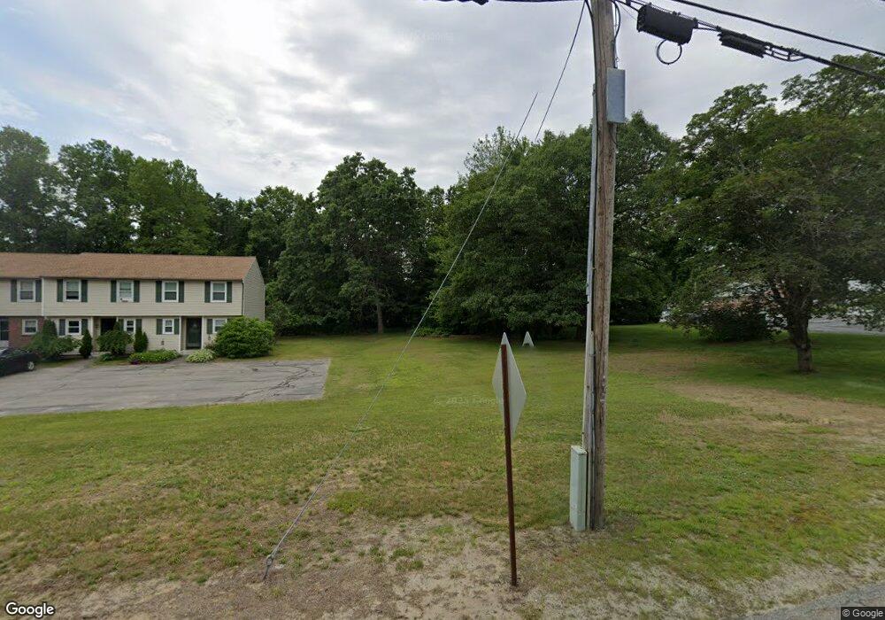
11 Elm St Unit A3 Merrimack, NH 03054
Estimated Value: $303,737 - $336,000
2
Beds
2
Baths
1,353
Sq Ft
$239/Sq Ft
Est. Value
About This Home
This home is located at 11 Elm St Unit A3, Merrimack, NH 03054 and is currently estimated at $322,934, approximately $238 per square foot. 11 Elm St Unit A3 is a home located in Hillsborough County with nearby schools including Reeds Ferry School, James Mastricola Upper Elementary School, and Merrimack Middle School.
Ownership History
Date
Name
Owned For
Owner Type
Purchase Details
Closed on
Dec 4, 2001
Sold by
Macdonald Stephen F and Macdonald Michelle L
Bought by
Moulton Michael
Current Estimated Value
Home Financials for this Owner
Home Financials are based on the most recent Mortgage that was taken out on this home.
Original Mortgage
$128,400
Interest Rate
6.66%
Create a Home Valuation Report for This Property
The Home Valuation Report is an in-depth analysis detailing your home's value as well as a comparison with similar homes in the area
Home Values in the Area
Average Home Value in this Area
Purchase History
| Date | Buyer | Sale Price | Title Company |
|---|---|---|---|
| Moulton Michael | $120,000 | -- |
Source: Public Records
Mortgage History
| Date | Status | Borrower | Loan Amount |
|---|---|---|---|
| Open | Moulton Michael | $133,500 | |
| Closed | Moulton Michael | $140,000 | |
| Closed | Moulton Michael | $17,500 | |
| Closed | Moulton Michael | $128,400 |
Source: Public Records
Tax History Compared to Growth
Tax History
| Year | Tax Paid | Tax Assessment Tax Assessment Total Assessment is a certain percentage of the fair market value that is determined by local assessors to be the total taxable value of land and additions on the property. | Land | Improvement |
|---|---|---|---|---|
| 2024 | $3,708 | $179,200 | $0 | $179,200 |
| 2023 | $3,485 | $179,200 | $0 | $179,200 |
| 2022 | $3,114 | $179,200 | $0 | $179,200 |
| 2021 | $3,077 | $179,200 | $0 | $179,200 |
| 2020 | $3,698 | $153,700 | $0 | $153,700 |
| 2019 | $3,709 | $153,700 | $0 | $153,700 |
| 2018 | $3,707 | $153,700 | $0 | $153,700 |
| 2017 | $3,592 | $153,700 | $0 | $153,700 |
| 2016 | $3,503 | $153,700 | $0 | $153,700 |
| 2015 | $3,797 | $153,600 | $0 | $153,600 |
| 2014 | $3,700 | $153,600 | $0 | $153,600 |
| 2013 | $3,673 | $153,600 | $0 | $153,600 |
Source: Public Records
Map
Nearby Homes
- 6 Stearns Ln Unit 201
- 19 Vista Way
- 10 Kingston Ct Unit 10
- 11 Essex Green Ct
- 22 Essex Green Ct
- 12 Clinton Ct
- 38 Mallard Point
- 29 Bedford Rd
- 31 Garden Dr
- 14 Brant Dr
- 490 Charles Bancroft Hwy
- 1 Tallarico St Unit 14
- 0 Tallarico St Unit 3 5032471
- 0 Tallarico St Unit 5 5032751
- 0 Tallarico St Unit 26
- 0 Tallarico St Unit 10 5044310
- 0 Tallarico St Unit 12 5033131
- 35 Tallarico St Unit Lot 11
- 22 Kimberly Dr
- 25 Chatfield Dr
- 9 Elm St
- 5 Elm St Unit A6
- 9 Elm St Unit 4
- 15 Elm St Unit A2
- 7 Elm St Unit A5
- 11 Rainbow Ave
- 6 Elm St
- 6 Elm St
- 6 Elm St Unit 2
- 9 Rainbow Ave
- 17 Elm St Unit A1
- 27 Elm St Unit B1
- 25 Elm St Unit B2
- 23 Elm St Unit B3
- 21 Elm St Unit B4
- 19 Elm St Unit B5
- 4 Elm St
- 6 Glen Forest Dr
- 579 Daniel Webster Hwy
- 579 Daniel Webster Hwy Unit 1