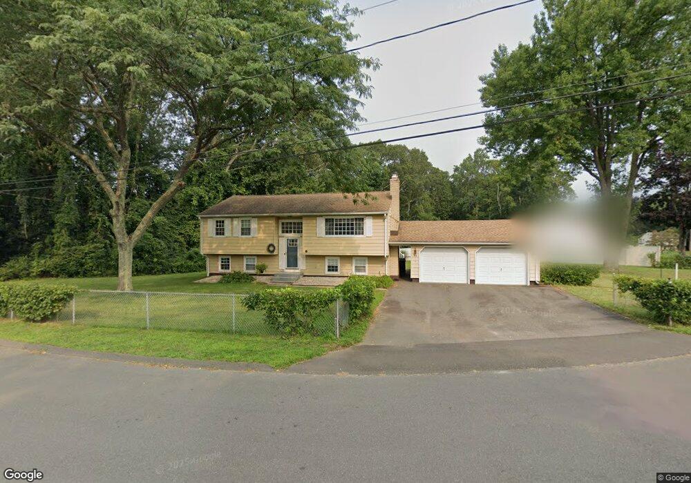
11 Fir Ridge Rd Clinton, CT 06413
Estimated Value: $389,386 - $471,000
3
Beds
2
Baths
1,028
Sq Ft
$410/Sq Ft
Est. Value
About This Home
This home is located at 11 Fir Ridge Rd, Clinton, CT 06413 and is currently estimated at $421,347, approximately $409 per square foot. 11 Fir Ridge Rd is a home located in Middlesex County with nearby schools including Lewin G. Joel Jr. School and The Morgan School.
Ownership History
Date
Name
Owned For
Owner Type
Purchase Details
Closed on
Nov 21, 1991
Sold by
Slam Walter F and Slam Elizabeth
Bought by
Slam Dennis W and Slam Anne M
Current Estimated Value
Home Financials for this Owner
Home Financials are based on the most recent Mortgage that was taken out on this home.
Original Mortgage
$80,000
Interest Rate
8.7%
Mortgage Type
Purchase Money Mortgage
Create a Home Valuation Report for This Property
The Home Valuation Report is an in-depth analysis detailing your home's value as well as a comparison with similar homes in the area
Home Values in the Area
Average Home Value in this Area
Purchase History
| Date | Buyer | Sale Price | Title Company |
|---|---|---|---|
| Slam Dennis W | $145,000 | -- |
Source: Public Records
Mortgage History
| Date | Status | Borrower | Loan Amount |
|---|---|---|---|
| Closed | Slam Dennis W | $42,000 | |
| Closed | Slam Dennis W | $25,000 | |
| Closed | Slam Dennis W | $115,000 | |
| Closed | Slam Dennis W | $80,000 |
Source: Public Records
Tax History Compared to Growth
Tax History
| Year | Tax Paid | Tax Assessment Tax Assessment Total Assessment is a certain percentage of the fair market value that is determined by local assessors to be the total taxable value of land and additions on the property. | Land | Improvement |
|---|---|---|---|---|
| 2025 | $5,337 | $171,400 | $52,800 | $118,600 |
| 2024 | $5,187 | $171,400 | $52,800 | $118,600 |
| 2023 | $5,113 | $171,400 | $52,800 | $118,600 |
| 2022 | $5,113 | $171,400 | $52,800 | $118,600 |
| 2021 | $4,949 | $165,900 | $57,800 | $108,100 |
| 2020 | $5,184 | $165,900 | $57,800 | $108,100 |
| 2019 | $5,184 | $165,900 | $57,800 | $108,100 |
| 2018 | $5,067 | $165,900 | $57,800 | $108,100 |
| 2017 | $4,962 | $165,900 | $57,800 | $108,100 |
| 2016 | $4,503 | $165,900 | $57,800 | $108,100 |
| 2015 | $4,093 | $152,900 | $60,300 | $92,600 |
| 2014 | $4,017 | $152,900 | $60,300 | $92,600 |
Source: Public Records
Map
Nearby Homes
- 39 Willow Ct
- 0 Fairy Dell Rd
- 22 Lincoln Rd
- 79 Fairy Dell Rd
- 106 Glenwood Rd
- 29 Brush Hill Rd
- 17 Valley Rd
- 8 W Woods Dr
- 82 N High St
- 4 Laconia Dr
- 20 Carriage Dr
- 0 151 - 153 East Main St Unit 15
- 0 151 - 153 East Main St Unit 16
- 153 E Main St Unit 10
- 153 E Main St Unit 12
- 153 E Main St Unit 13
- 153 E Main St Unit 31
- 153 E Main St Unit 8
- 153 E Main St Unit 9
- 153 E Main St Unit 6