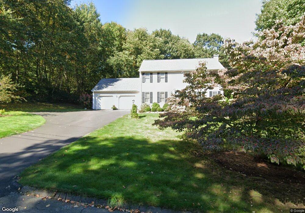
11 Florence Dr Tolland, CT 06084
Estimated Value: $524,000 - $605,000
3
Beds
3
Baths
1,840
Sq Ft
$299/Sq Ft
Est. Value
About This Home
This home is located at 11 Florence Dr, Tolland, CT 06084 and is currently estimated at $549,776, approximately $298 per square foot. 11 Florence Dr is a home located in Tolland County with nearby schools including Birch Grove Primary School, Tolland Intermediate School, and Tolland Middle School.
Ownership History
Date
Name
Owned For
Owner Type
Purchase Details
Closed on
Nov 16, 2015
Sold by
Roberts John L
Bought by
Roberts Suzette A
Current Estimated Value
Purchase Details
Closed on
Nov 30, 2000
Sold by
Szabo Andrew and Szabo Karen
Bought by
Roberts John and Roberts Suzette
Purchase Details
Closed on
Dec 11, 1995
Sold by
Williams Stephen D
Bought by
Szabo Andrew and Szabo Karen
Create a Home Valuation Report for This Property
The Home Valuation Report is an in-depth analysis detailing your home's value as well as a comparison with similar homes in the area
Home Values in the Area
Average Home Value in this Area
Purchase History
| Date | Buyer | Sale Price | Title Company |
|---|---|---|---|
| Roberts Suzette A | -- | -- | |
| Roberts Suzette A | -- | -- | |
| Roberts John | $238,000 | -- | |
| Roberts John | $238,000 | -- | |
| Szabo Andrew | $190,200 | -- | |
| Szabo Andrew | $190,200 | -- |
Source: Public Records
Mortgage History
| Date | Status | Borrower | Loan Amount |
|---|---|---|---|
| Previous Owner | Szabo Andrew | $172,000 | |
| Previous Owner | Szabo Andrew | $40,000 |
Source: Public Records
Tax History Compared to Growth
Tax History
| Year | Tax Paid | Tax Assessment Tax Assessment Total Assessment is a certain percentage of the fair market value that is determined by local assessors to be the total taxable value of land and additions on the property. | Land | Improvement |
|---|---|---|---|---|
| 2025 | $7,749 | $285,000 | $73,900 | $211,100 |
| 2024 | $7,301 | $193,300 | $70,400 | $122,900 |
| 2023 | $7,160 | $191,800 | $70,400 | $121,400 |
| 2022 | $7,016 | $191,800 | $70,400 | $121,400 |
| 2021 | $7,118 | $191,800 | $70,400 | $121,400 |
| 2020 | $6,914 | $191,800 | $70,400 | $121,400 |
| 2019 | $7,224 | $200,400 | $72,600 | $127,800 |
| 2018 | $7,014 | $200,400 | $72,600 | $127,800 |
| 2017 | $6,852 | $200,400 | $72,600 | $127,800 |
| 2016 | $6,701 | $196,000 | $72,600 | $123,400 |
| 2015 | $6,539 | $196,000 | $72,600 | $123,400 |
| 2014 | $6,340 | $204,200 | $80,600 | $123,600 |
Source: Public Records
Map
Nearby Homes
- 644 Buff Cap Rd
- 0 Tolland Turnpike
- 745 Old Stafford Rd
- 8 Neff Hill Rd
- 487 Buff Cap Rd
- 15 Usher Ridge
- 68 Usher Ridge
- 36 Usher Ridge
- 110 Neff Hill Rd
- 130 Neff Hill Rd
- 105 Neff Hill Rd
- 137 Neff Hill Rd
- 100 Neff Hill Rd
- 77 Neff Hill Rd
- 84 Neff Hill Rd
- 42 Ladd Rd
- 71 Neff Hill Rd
- 127 Sandy Beach Rd
- 68 Cook Rd
- 44 Tolland Ave Unit 64