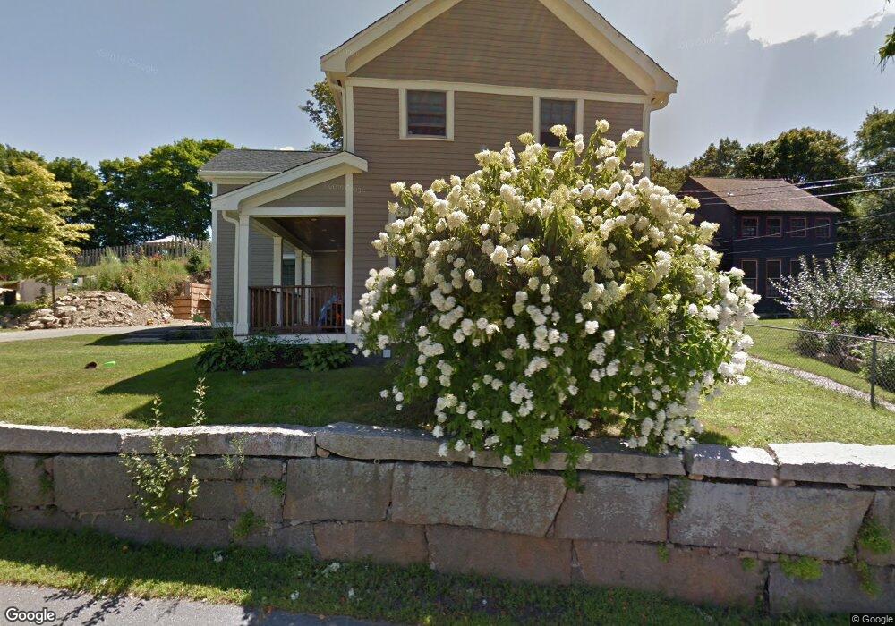
11 Gee Ave Gloucester, MA 01930
Estimated Value: $638,000 - $909,000
3
Beds
1
Bath
1,302
Sq Ft
$567/Sq Ft
Est. Value
About This Home
This home is located at 11 Gee Ave, Gloucester, MA 01930 and is currently estimated at $738,783, approximately $567 per square foot. 11 Gee Ave is a home located in Essex County with nearby schools including Beeman Memorial, Ralph B O'maley Middle School, and Gloucester High School.
Ownership History
Date
Name
Owned For
Owner Type
Purchase Details
Closed on
Jul 12, 2018
Sold by
Brown Lauren E and Brown Adam Brown
Bought by
Brown Lauren E and Brown Adam Brown
Current Estimated Value
Purchase Details
Closed on
May 18, 2009
Sold by
Brown R Adam and Brown Paula M
Bought by
Brown R Adam
Home Financials for this Owner
Home Financials are based on the most recent Mortgage that was taken out on this home.
Original Mortgage
$247,000
Interest Rate
4.85%
Purchase Details
Closed on
Apr 12, 2004
Sold by
Hinckley Lois M Est
Bought by
Brown R Adam
Home Financials for this Owner
Home Financials are based on the most recent Mortgage that was taken out on this home.
Original Mortgage
$275,000
Interest Rate
5.6%
Create a Home Valuation Report for This Property
The Home Valuation Report is an in-depth analysis detailing your home's value as well as a comparison with similar homes in the area
Purchase History
| Date | Buyer | Sale Price | Title Company |
|---|---|---|---|
| Brown Lauren E | -- | -- | |
| Brown R Adam | -- | -- | |
| Brown R Adam | $275,000 | -- |
Source: Public Records
Mortgage History
| Date | Status | Borrower | Loan Amount |
|---|---|---|---|
| Previous Owner | Brown R Adam | $60,000 | |
| Previous Owner | Brown R Adam | $247,000 | |
| Previous Owner | Brown R Adam | $275,000 | |
| Previous Owner | Brown R Adam | $11,765 |
Source: Public Records
Tax History
| Year | Tax Paid | Tax Assessment Tax Assessment Total Assessment is a certain percentage of the fair market value that is determined by local assessors to be the total taxable value of land and additions on the property. | Land | Improvement |
|---|---|---|---|---|
| 2025 | $6,670 | $686,200 | $201,400 | $484,800 |
| 2024 | $6,582 | $676,500 | $191,700 | $484,800 |
| 2023 | $6,313 | $596,100 | $171,300 | $424,800 |
| 2022 | $6,127 | $522,300 | $149,000 | $373,300 |
| 2021 | $5,924 | $476,200 | $135,400 | $340,800 |
| 2020 | $5,869 | $476,000 | $135,400 | $340,600 |
| 2019 | $5,608 | $441,900 | $135,400 | $306,500 |
| 2018 | $5,406 | $418,100 | $135,400 | $282,700 |
| 2017 | $5,243 | $397,500 | $128,900 | $268,600 |
| 2016 | $5,128 | $376,800 | $134,500 | $242,300 |
| 2015 | $5,221 | $382,500 | $134,500 | $248,000 |
Source: Public Records
Map
Nearby Homes
- 3 Deacon Farm Ln
- 2 Breezy Point Rd
- 31 Echo Ave
- 672 Washington St
- 13 Honeysuckle Rd
- 13 Mystic Ave
- 8 Mystic Ave
- 167 Atlantic St
- 178 Atlantic St
- 226 Atlantic St
- 98 Maplewood Ave
- 6 Monroe Ct
- 12 Arthur St
- 9 Cleveland Place
- 40 Sargent St
- 19 Trask St Unit 2
- 50 Warner St
- 113 Pleasant St
- 33 Maplewood Ave Unit 310
- 15 Harvard St
Your Personal Tour Guide
Ask me questions while you tour the home.